Serra do Pardo National Park
The federal police arrived in armored vehicles. The cattle had to go - all of them - and so did the ranchers who had planted themselves on this land in the decades since the rubber crisis collapsed the old economy. When Serra do Pardo National Park was created by decree on February 17, 2005, the trees were already standing but the fight over who owned them had barely ended. Ninety-five percent of the park's natural vegetation survived the chaos intact, a quiet miracle in a region where chainsaw and bulldozer had won almost every other contest.
Between Two Great Rivers
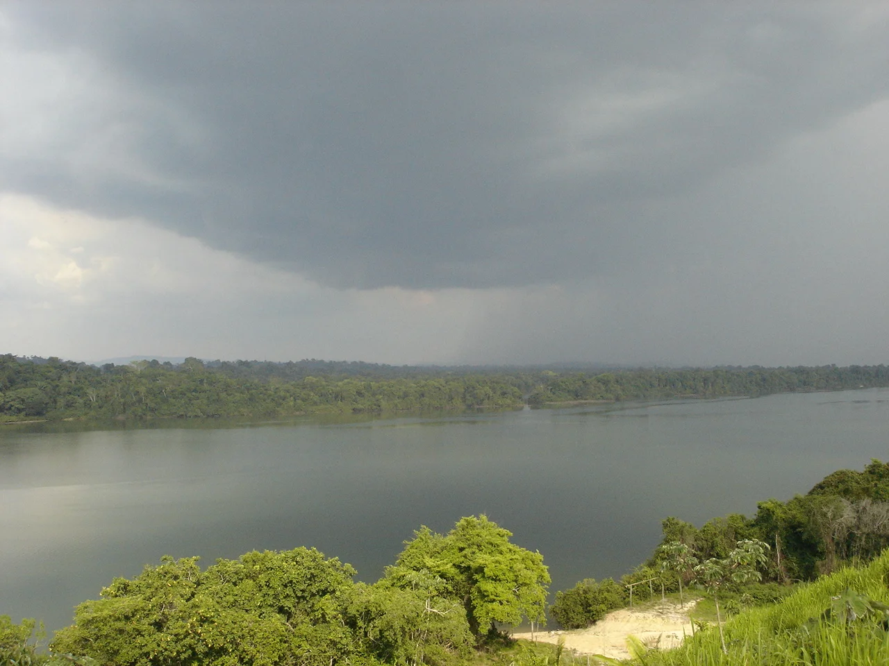
The park sits in one of the wildest zones left on the eastern Amazon frontier - the interfluvial region between the Xingu and the Tapajos, two of the largest tributaries of the main stem. Covering 445,408 hectares across the municipalities of Sao Felix do Xingu and Altamira in Para state, it is named for the mountain range that stretches along the Pardo River, averaging 400 meters in height and rising to a maximum of 546 meters. The Pardo River defines the northwestern boundary. The Xingu River marks the eastern edge. In between, the rugged uplands and submontane forests provide a corridor for species that may be endemic to this stretch of land, species that science is still cataloging decades after the park was established.
A Landscape of Layered Conflict
The park's history reads like a compressed biography of Amazonian exploitation. First came the rubber tappers - extractivists who worked the forest for latex until the market collapsed in the 1950s. Then came the squatters who moved in to cut timber. Then came the cattle, and with cattle came the land-grabbers whose deeds were rarely legal and whose disputes were rarely peaceful. This region became notorious in Brazilian reporting for deforestation and for killings over land. When the federal government finally drew a line on the map and named it a national park, some of the farms had to be expropriated outright, with ICMBio, IBAMA, and the federal police working jointly to remove cattle and shut down unauthorized operations. A handful of former rubber tapper communities still live inside the park, awaiting transfer to areas where they can continue their traditional livelihoods.
What Lives Here
Jaguars hunt through the submontane rainforest. Giant otters patrol the blackwater creeks. Hyacinth macaws - the largest flying parrots in the world, unmistakable in cobalt blue - pass through the cerrado fringes alongside the white-crested guan and the chestnut-throated spinetail, both threatened species in Brazil. The park sits inside the Amazon biome but holds a mosaic of habitats: open submontane rainforest, dense submontane forest, and patches of cerrado grassland. Temperatures hover around a comfortable equatorial range, and the park's position between two major river systems means biologists suspect it harbors endemic species still being identified. Every expedition finds something new. Every dry season raises the fear that illegal mining, cattle encroachment, or an infrastructure project will reach the boundary next.
The Terra do Meio Mosaic
Serra do Pardo does not stand alone. To the north lies the Rio Xingu Extractive Reserve, where traditional communities work the forest sustainably. To the west and south, the Triunfo do Xingu Environmental Protection Area. To the northwest, the Terra do Meio Ecological Station. Together these units form the Terra do Meio Mosaic - a stitched-together landscape of overlapping protections that, on a map, looks almost solid: a green block the size of Switzerland holding back the deforestation frontier. The park's management plan was approved on December 23, 2015, funded through the Amazon Region Protected Areas Program. Public visitation is allowed in principle and may one day generate ecotourism jobs for local communities. For now, Serra do Pardo remains what it has been for most of its short formal existence: a quiet tract of forest far from any highway, still standing, still contested, still home to creatures whose names we are only now learning.
From the Air
Serra do Pardo National Park is centered at approximately 5.73 S, 53.00 W in Para, Brazil. Terrain averages 400 meters elevation with peaks near 546 meters. The park lies in remote Amazon interior between the Xingu River (east) and the Pardo River (northwest). Expect dense forest canopy below with minimal ground features visible. Recommended viewing altitude 5,000 to 7,000 feet AGL for appreciating the transition between rainforest and submontane terrain. Nearest airfields: Altamira (SBHT) to the north and Sao Felix do Xingu (SNFX) to the southeast. Weather equatorial with heavy convective activity in wet season (October through April).
Nearby Stories
- Tapajós–Xingu moist forests 113 km away
- Terra do Meio Ecological Station 167 km away
- Tapirapé-Aquiri National Forest 178 km away
- Altamira National Forest 188 km away
- Xingu-Tocantins-Araguaia Moist Forests 188 km away
- Carajás National Forest 245 km away
- Tapajós National Forest 322 km away
- Jamanxim National Forest 358 km away