Terra do Meio Ecological Station
When the decree came down on February 17, 2005, creating the Terra do Meio Ecological Station, a peculiar problem appeared. The law designated the area as IUCN category Ia, the strictest possible nature-reserve classification, the kind of land where in theory no human activity is supposed to happen except scientific research. But fifteen families were already living there. Not settlers, not squatters in the recent sense: traditional inhabitants whose ancestors had pulled rubber from these trees, who knew every creek and clearing, whose knowledge of the forest was in some ways more comprehensive than anything the incoming scientists would ever measure. What do you do with people who arrived first, in a reserve that is supposed to be empty?
The Land Between Two Rivers
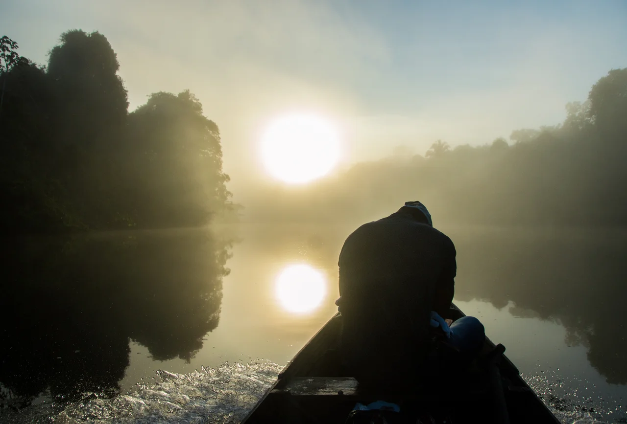
Terra do Meio means the Land of the Middle, and the name is geographic. It sits in the middle of the southern Amazon, between the Xingu River to the east and the Iriri River, the Xingu's main tributary, which runs through the station from south to north. The Iriri rises in the Serra do Cachimbo, flows for 900 kilometers through country that almost nobody enters, and finally joins the Xingu near the Pinhões Falls. Both rivers change dramatically with the seasons. In the wet season they are full, deep, navigable by small boats for long stretches; in the dry season they drop, exposing waterfalls, rocks, and rapids that can strand river travelers for days. The ecological station covers 3,373,133.89 hectares, roughly the size of Belgium, across parts of the municipalities of Altamira and São Félix do Xingu in southern Pará. It borders the 445,408-hectare Serra do Pardo National Park to the southeast. The land alternates between lowland floodplain and residual plateau, with soils generally poor in nutrients but supporting 76 percent open submontane rainforest with lianas and another 18 percent open submontane forest with emergent canopy.
A Dry Season That Burns
The climate here sets up a specific hazard. Average annual rainfall is 1,855 millimeters, distributed unevenly across the year. From May through November, the dry season takes hold, and for six months the forest goes progressively thirstier. Temperatures that average 23 degrees Celsius can spike higher in open country. The risk of fire, both natural and human-set, rises dramatically in the second half of the dry season. This matters because Terra do Meio sits on the southern edge of the arc of deforestation, the advancing line where soy agriculture and cattle ranching have been eating into Amazonian forest for decades. The area immediately south and east of the ecological station is heavily cleared. Fires set to clear that land can jump boundaries and run into the reserve, sometimes smoldering for weeks in the leaf litter before flaring up. The enforcement capacity of ICMBio, the Chico Mendes Institute for Biodiversity Conservation that administers the station, is limited. The fires are a recurring problem.
The Fifteen Families
The management plan, finally published on December 23, 2015, ten years after the station's creation, addressed the problem of the people who lived there. Rather than attempt to expel the fifteen families of traditional inhabitants, the authors designated an intensive-use zone where those families could remain. They could keep their houses, gardens, and limited extraction of forest products for personal and subsistence use. Their knowledge of the land was integrated into management decisions. This approach, imperfect but pragmatic, acknowledged something that ecology in the abstract tends to miss: forests like this one are not pristine. They have been used and shaped by people for thousands of years, and traditional inhabitants often sustain ecosystems in ways that rigid exclusion cannot. Nine years earlier, the environmental activist Dorothy Stang had been murdered in nearby Anapu, Pará, for defending exactly this kind of land-use model against logging and cattle interests. The creation of Terra do Meio was one of the federal government's responses to her death. The plan that emerged, integrating traditional families rather than excluding them, carries the mark of that political history.
What the Sky Brings
The bird list for Terra do Meio is a short natural history of flight. Migratory visitors include osprey, spotted sandpiper, purple martin, sand martin, and barn swallow - species that fly thousands of kilometers from North America or southern South America and stop here during passage. Endemic birds include the white-crested guan and red-throated piping guan, forest game birds whose populations have collapsed in much of the Amazon because of hunting; the dark-winged trumpeter, a tall, long-legged bird that walks the forest floor in social groups; the blue-necked jacamar and rufous-necked puffbird and red-necked aracari, all toucan-and-barbet relatives of small-to-medium size; Gould's toucanet; the Sclater's antwren; the band-tailed antbird; the Amazonian antpitta; and the Amazonian barred woodcreeper. Each species has its microhabitat, its foraging niche, its part in the forest's intricate machinery. The white-cheeked spider monkey lives here too, a species that has disappeared from much of its historic range because of hunting and forest fragmentation, and Terra do Meio holds one of its remaining strongholds. When the proposed South Amazon Ecological Corridor finally links this station to the adjacent national parks and indigenous territories, the spider monkeys will have a larger functional range. For now, they have three million hectares. It will have to be enough.
From the Air
Terra do Meio Ecological Station covers 3.37 million hectares at 3.95 S, 53.58 W between the Xingu and Iriri rivers in southern Pará. Nearest significant airport is Altamira (SBHT) about 200 km north. The station is visible from altitude as an unbroken continuous canopy between two major river systems, the Xingu on the east and the Iriri crossing the interior from south to north. Recommended viewing altitude 6,000-10,000 feet for full-mosaic context including the adjacent Serra do Pardo National Park to the southeast. The contrast between protected forest and the deforestation arc along the southern border is stark and expanding, visible as a cleared zone pressing up against the reserve's edge.
Nearby Stories
- Tapajós National Forest 105 km away
- Fordlândia 151 km away
- Serra do Pardo National Park 168 km away
- Santarém, Pará 185 km away
- Tapajós–Xingu moist forests 191 km away
- Xingu-Tocantins-Araguaia Moist Forests 261 km away
- Altamira National Forest 262 km away
- Guajará Bay 567 km away