
Serra Gaúcha
On a hillside above a subtropical rainforest, framed by towering araucaria pines, a town that looks like a Bavarian village hosts a film festival every summer. A short drive away, vineyards climb terraced slopes and an old woman might greet you in a dialect that has not been spoken in Italy for a century. This is the Serra Gaucha, the Gaucho Highlands, where the geography of immigration was decided by altitude. The Germans came first and settled the valleys near the river springs. The Italians arrived later and took the heights. Between them they turned a stretch of southern Brazilian mountains into something that belongs nowhere else.
Two Migrations, Two Elevations
The pattern was set in the 19th century. Germans began arriving in 1824, drawn to the lowlands close to water; Italians followed starting in 1875 and pushed up into the rugged highlands the earlier settlers had left alone. The division was practical, but it hardened into culture. Today the region's seventy-five municipalities still carry the imprint of who climbed where. In the German towns, many residents speak Riograndenser Hunsruckisch, a dialect carried from the old country and kept alive for generations. In the Italian highlands, it is not unusual to hear Talian, the northern-Italian tongue that arrived with the first colonists. Two languages, two cuisines, two architectures - layered onto a single landscape of luscious forest and araucaria.
The Wine Country
Where the Italians settled, the vineyards followed, and they never left. Wine is not a sideline here but a thread of identity, and around towns like Bento Goncalves and Garibaldi the vines run to the horizon. Brazil's modern wine industry grew largely out of these slopes, and the grape still sets the rhythm of the year. Caxias do Sul, the regional capital, made the heritage into a festival: the Festa da Uva, the Grape Festival, first held in 1931 and staged every other year since. It survived a dark interruption - during the Vargas-era suppression of immigrant culture, the celebration was halted in 1938 - and returned to become one of the great expressions of Italian-Brazilian pride. To drive the wine routes of the Serra Gaucha is to move through a working agricultural landscape that happens to taste of somewhere else.
Romantic Roads and Hydrangeas
The region has learned to package its beauty into routes, and each one tells a different story. The Rota Romantica traces the path of German colonization through storybook towns; the Caminhos da Colonia leans Italian; the Rota da Uva e o Vinho follows the grape. The Regiao das Hortensias takes its name from the hydrangeas - hortensias in Portuguese - that landscape its roadsides and gardens in blue and pink. At the heart of it all sit Gramado and Canela, mountain resorts perched near 850 meters where Brazilians come to feel, briefly, as though they have crossed an ocean. To the north, the hot springs of Nova Prata draw their own visitors to soak in the highland air.
A Plateau That Becomes the Andes of the South
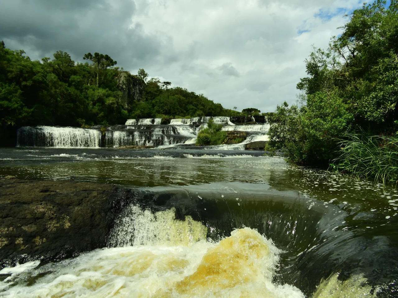
Geographically, the Serra Gaucha is part of the Serra Geral, the great escarpment of the southern Brazilian Plateau, and the terrain shapes everything above it. The land climbs from lower plains to heights above 700 meters, dissected by valleys and crowned with araucaria forest that gives the region its distinctive silhouette. The araucaria itself - the candelabra pine of southern Brazil - is part of why the towns can feel so transported, its tiered branches standing in for the conifers of a European memory. It is a backdrop unlike anywhere else the immigrants might have settled, their villages reborn against a canvas of subtropical green. Push east and north toward the plateau's edge, and the gentle highlands give way to something far more dramatic: the sheer canyon walls of the Aparados da Serra, where the plateau ends and the land falls away toward the distant coast.
From the Air
The Serra Gaucha occupies the northeastern highlands of Rio Grande do Sul, centered roughly at 29 degrees south, 51.25 degrees west, with town elevations commonly between 800 and 900 meters. From the air it reads as a band of forested, valley-cut highland rising from the plains, dotted with European-style towns and vineyard terraces. The principal airport is Hugo Cantergiani Regional Airport at Caxias do Sul (ICAO: SBCX, IATA: CXJ); Salgado Filho International at Porto Alegre (ICAO: SBPA, IATA: POA) is the main gateway, roughly 100 to 130 km south of the highland towns. Mountain weather is changeable, with frequent fog and low cloud; fly the region in clear conditions and watch for rising terrain.
Nearby Stories
- Nova Petrópolis 22 km away
- Cambará do Sul 49 km away
- Aparados da Serra National Park 51 km away
- Passo Fundo 83 km away
- Santa Cruz do Sul 94 km away
- Serra do Rio do Rastro 109 km away
- São Joaquim National Park 168 km away
- Paleontological Sites of Santa Maria 223 km away