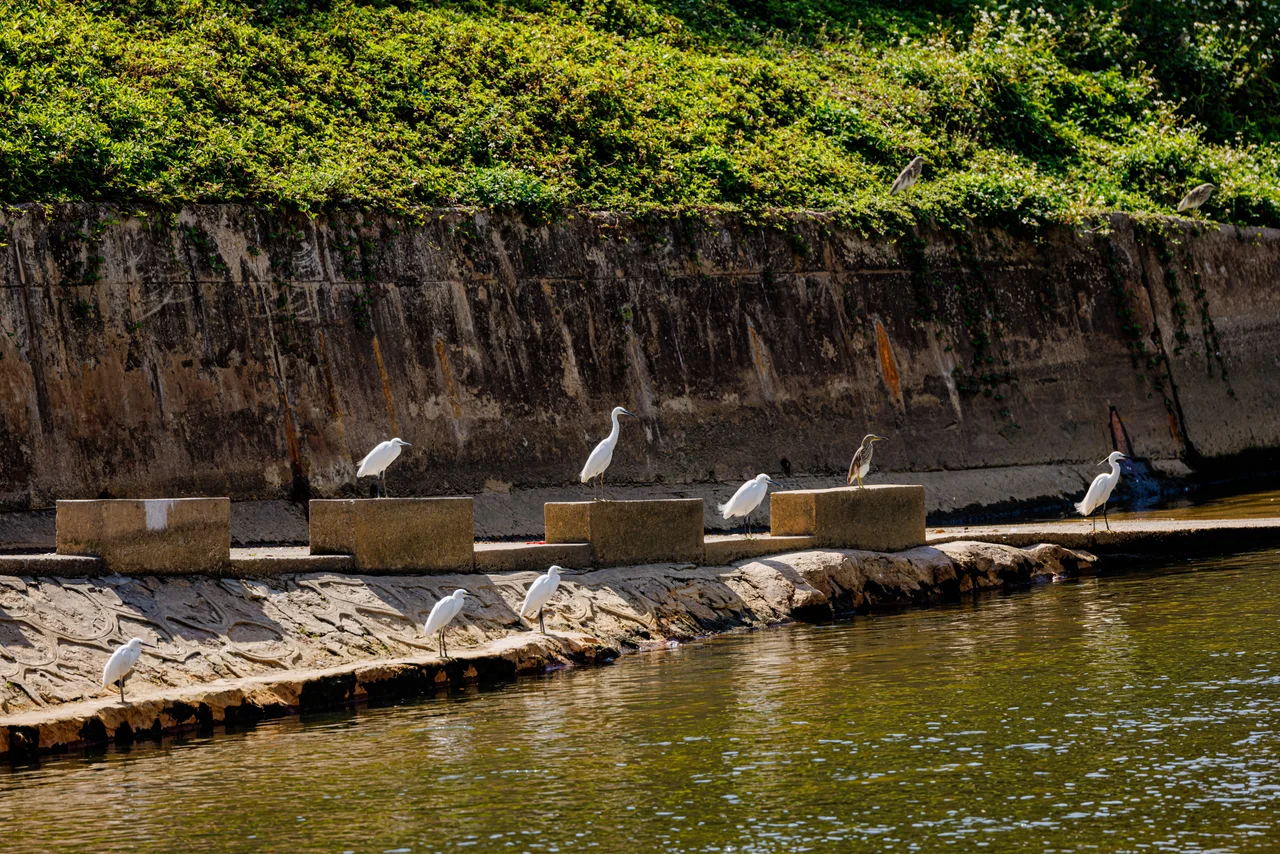

Sham Chun River
Borders rarely look the way you expect them to. The Sham Chun River — the line that separates Hong Kong from mainland China — is not a wide, dramatic divide. It meanders through wetlands and farmland, brown and unhurried, crossing under bridges that carry millions of travelers each year between two very different worlds. From the air, it can be hard to spot. On the ground, it is simply a river. And yet this water has been one of the most politically loaded geographic features in Asia for more than a century.
A Line Drawn in 1898
The river's role as a border was formalized in the Convention for the Extension of Hong Kong Territory, signed in 1898 and sometimes called the Second Convention of Peking. Under that agreement, Britain obtained a 99-year lease on the New Territories — the land north of Boundary Street on the Kowloon Peninsula and a belt of mainland stretching to the Sham Chun River. The river became the northern limit of that lease.
For most of the colonial period, the border was quiet farmland, not a geopolitical flashpoint. Its significance sharpened after 1949, when the People's Republic of China was established and the ideological distance between the two sides of the river became as vast as any geography. The river that peasants had crossed freely for generations was now an international boundary. When the 99-year lease expired and sovereignty transferred in 1997, the river remained — this time as the border between Hong Kong SAR and the mainland, under the 'one country, two systems' framework.
Where the Water Comes From
The Sham Chun River rises at Wutong Mountain in Shenzhen and flows westward before emptying into Deep Bay — known in Cantonese as Hau Hoi Wan and in Mandarin as Shenzhen Bay. The river is fed by several tributaries on both sides: the Ping Yuen River, Shek Sheung River, Sheung Yue River, Ng Tung River, Buji River, and Tan Shan River. The Shenzhen Reservoir contributes additional flow when full.
At the river's mouth, the Mai Po Marshes spread out in a complex of mangroves, fishponds, and mudflats that provides critical habitat for migratory birds on the East Asian-Australasian Flyway. The contrast is startling: within sight of Shenzhen's skyscrapers, wading birds work the shallows that have fed communities for centuries. The Lok Ma Chau Loop, a meander that was altered through river draining works to alleviate flooding and pollution, now contains a development zone managed jointly by Hong Kong and mainland authorities.
The Crossings
Today, more than ten crossings span the Sham Chun River, ranging from rail bridges to road viaducts to a high-speed rail tunnel. The busiest historically was Lo Wu — the railway crossing that for decades was the only authorized land crossing for most travelers, a bottleneck through which an entire city's connections to the mainland were funneled. The rail bridge at Lo Wu has carried people, trade, and history in both directions.
Lok Ma Chau added capacity in later decades, with a road crossing and then a dedicated rail spur. The Heung Yuen Wai crossing, which links to Liantang Port, was added more recently to handle freight traffic. The Express Rail Link's Hong Kong section connects to the mainland via a tunnel beneath the river, reaching Shenzhen North and beyond in minutes. What was once a lightly crossed frontier is now one of the most traversed international land borders on earth.
A River That Carries More Than Water
The Sham Chun River's modest appearance belies the weight it carries. It has been the line along which families were divided after 1949, the water that desperate migrants crossed during the population movements of the 1960s and 1970s, and the border that has defined Hong Kong's separate legal and political identity for generations. The Frontier Closed Area — a restricted zone maintained on the Hong Kong side of the river for decades — kept most residents at a remove from it. Access has gradually eased since the 2010s, as portions of the buffer zone were opened.
Standing at the river's edge today, you are standing at a threshold that has moved empires and ordinary lives alike. The water is the same water it has always been. Everything else around it has changed beyond recognition.
From the Air
The Sham Chun River runs east-west at approximately 22.5°N, 114.03°E, forming the northern boundary of Hong Kong's New Territories. From the air at 5,000–8,000 feet, the river is a clear visual demarcation between the dense urban fabric of Shenzhen (north) and the greener, lower-density landscape of the Hong Kong New Territories (south). Deep Bay / Shenzhen Bay is visible to the west where the river meets the sea, with the Mai Po wetlands visible as a dark green patch. Multiple road and rail bridges crossing the river are visible landmarks. The nearest major airport is Hong Kong International Airport (VHHH) to the southwest on Lantau Island.
Nearby Stories
- Chapel of St. Francis Xavier 3.5 km away
- Cuiheng 4.1 km away
- 2015 Shenzhen Landslide 16 km away
- Shunde 31 km away
- Wanshan Archipelago 37 km away
- Nanxiong Formation 96 km away
- Heyuan 149 km away
- Checheng Fu'an Temple 629 km away