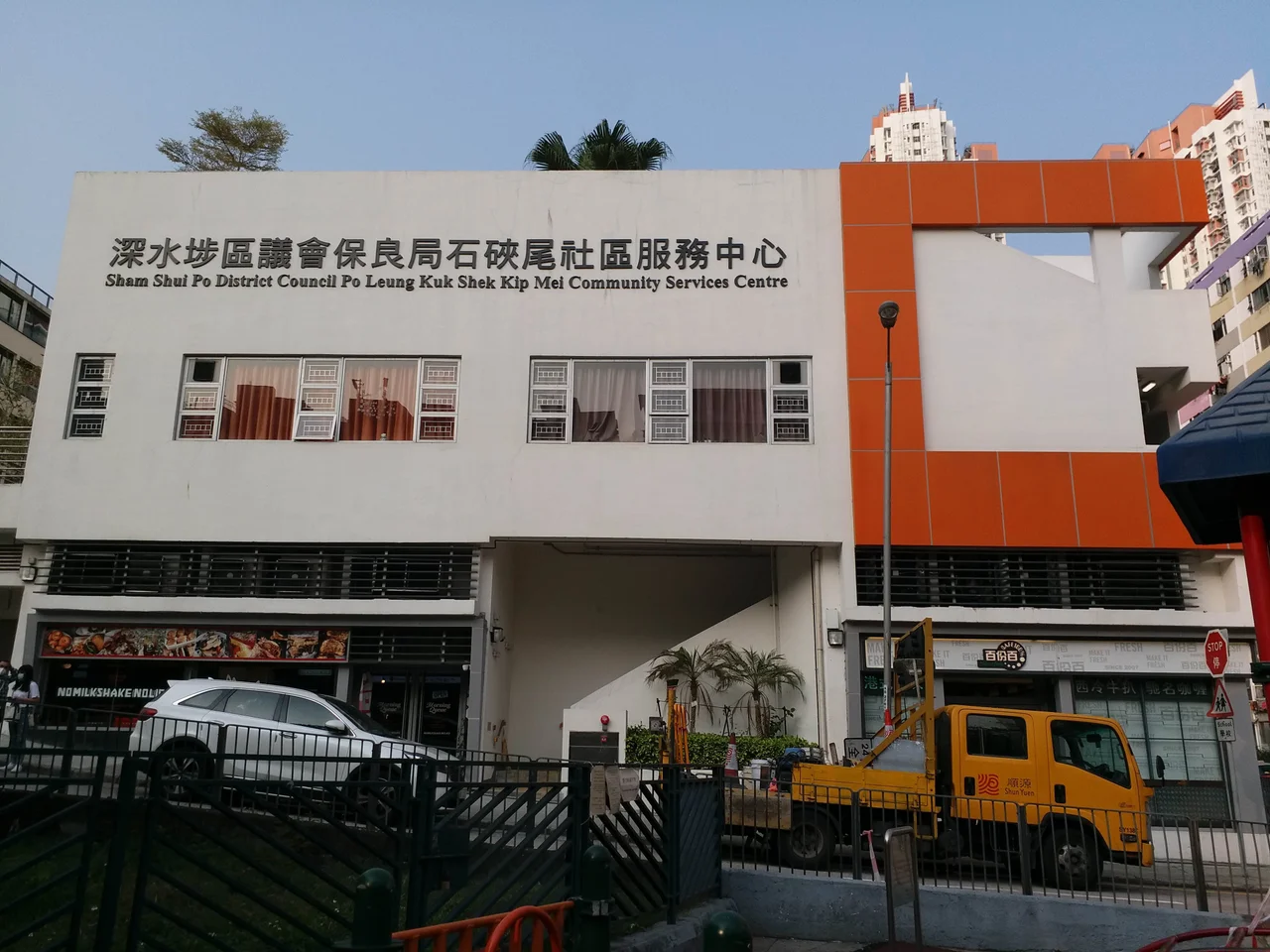

Shek Kip Mei
In the 1911 census, the population of Shek Kip Mei was 72. Four decades later, the hillsides of this quiet corner of New Kowloon held tens of thousands of people in wooden shanties, and the name Shek Kip Mei had become synonymous with one of the most consequential moments in Hong Kong's modern history. The transformation was breathtaking in its speed and its human drama — driven not by planning or policy, but by the great upheavals of twentieth-century China washing up against a small British colony that was not ready for what arrived.
The Hillside Before the Flood
Shek Kip Mei sits in the area known as New Kowloon, to the northeast of the Kowloon Peninsula, bordered by Sham Shui Po and Kowloon Tong. For most of its modern history, it was unremarkable: a hillside district on the edge of the city, sparsely settled and largely agricultural. The 1911 census counted 72 residents. By any measure, Shek Kip Mei was a backwater — until the mainland came to it. Following the end of the Second World War, and especially after 1949, Hong Kong became a destination for people who had nowhere else to go. The new communist government, civil war, and political transformation pushed hundreds of thousands of people across the border. They needed somewhere to live. Shek Kip Mei's hillsides, close to the city but beyond the reach of official planning, became one of the places they built their homes.
Fire and Reconstruction
On 25 December 1953, a fire tore through the Shek Kip Mei shanty settlement, destroying thousands of wooden structures and leaving 53,000 people homeless overnight. Governor Alexander Grantham's response created the template for modern Hong Kong: a public housing programme that replaced the hillside shanties with concrete multi-storey blocks, fire-resistant and flood-resistant, built on the same land where so much had been lost. The initial apartments were small — about 300 square feet — and each unit was intended to house five people, with each building designed for 2,500 residents. The rents were modest: HK$17 per square foot per month for residential units. Visitors from abroad, encountering the dense clusters of identical blocks, sometimes called them prisons. Those who lived in them had a different word: home.
A Neighbourhood Remade
Shek Kip Mei today carries all the layers of its history without making a museum of any of them. The area has public apartments — including the estate that bears its name — alongside private housing developments like Beacon Heights and Dynasty Heights that climbed the slopes of nearby Beacon Hill. At the north end of the neighbourhood, Tai Wo Ping served as a cottage resettlement area through the 1950s and 1970s before being redeveloped. Several malls and churches now fill the district alongside schools and community services. The MTR arrived on 1 October 1979 when Shek Kip Mei station opened on Wai Chi Street, connecting this working-class neighbourhood directly to the broader city. What was once a hillside ghetto is now simply a neighbourhood — dense, functional, and permanently marked by what happened here.
Where the Factory Became the Studio
Not every building from the old Shek Kip Mei was demolished. The former Shek Kip Mei Factory Estate, a relic of the district's industrial past, was renovated and transformed into the Jockey Club Creative Arts Centre — one of Hong Kong's most important arts hubs, giving studios and gallery space to visual artists, musicians, and theatre makers in the very walls where manufacturing once hummed. Meanwhile, the last surviving original public housing block — Mei Ho House, Block 41 of the estate — was converted into a youth hostel and museum, its interiors painstakingly restored to show what the original resettlement units looked like. Restored rooms, photographs, and resident stories give the hostel a quality that goes beyond accommodation: it is a memorial to the people who once lived 24 square feet to an adult in communal blocks on a hillside that the city had not yet decided how to care for.
From the Air
Shek Kip Mei occupies the northeastern Kowloon hillsides at approximately 22.334°N, 114.169°E. From 1,500 to 2,500 feet over the Kowloon Peninsula, the district is visible as a dense urban grid of public and private housing blocks, with Beacon Hill rising behind it to the north. The Kowloon Range — including Lion Rock, whose profile is iconic in Hong Kong culture — frames the northern edge. Hong Kong International Airport (VHHH) lies approximately 30 km to the west on Lantau Island. The harbour and Hong Kong Island are visible to the south on clear days.
Nearby Stories
- Chapel of St. Francis Xavier 3.5 km away
- Cuiheng 4.1 km away
- 2015 Shenzhen Landslide 16 km away
- Shunde 31 km away
- Wanshan Archipelago 37 km away
- Nanxiong Formation 96 km away
- Heyuan 149 km away
- Checheng Fu'an Temple 629 km away