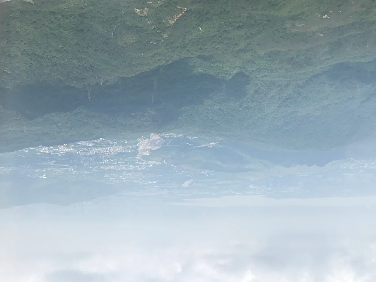

Shek Kong
The name translates simply: 石崗, Shek Kong — rocky mount. It is a modest name for a place that has absorbed an immodest amount of history. Tucked into the valley north of Tai Mo Shan, Hong Kong's highest peak, and south of the Kam Tin River's tributaries, Shek Kong has been a walled village, an airfield construction site, a wartime casualty, a British garrison town, a Gurkha community, and, since 1997, a corner of the People's Liberation Army's footprint in the territory. Tang dynasty pottery has been unearthed here. So have shards from the Song dynasty. The land has a long memory.
A Village with a Thousand-Year Foundation
Before the airfield, before the barracks, before the British arrived in the New Territories in 1898, there was a walled village. The original Shek Kong settlement belonged to the Chau — or Chow — family (周 in Cantonese), and it occupied the ground that is now the site of Shek Kong Barracks, just south of Kam Tin Road. A British map produced in 1904 for the extension of the New Territories named the settlement Shek Kong; an earlier map of 1901 recorded the same location without a name. The surrounding basin of Kam Tin and Pat Heung has known settled human life since at least 973 AD, when ancestors of the Kam Tin villages first lived in the area; records show they settled permanently in 1105 during the Song dynasty. Tang dynasty burial jars unearthed at Shek Kong push the timeline of human presence here back even further. In 1935, the village was caught up in a clan conflict with neighbouring Kam Tin. A farmer from Kam Tin broke the embankment of a paddy field belonging to Shek Kong to divert water to his own fields. What followed escalated quickly: clan members were summoned, a small brawl became a larger confrontation, police intervened, four people were injured, and twelve were arrested. It was ordinary village life in rural Guangdong — disputes over water, land, and pride — played out against a backdrop of hills that had held these families for centuries.
The Army Arrives, the Village Disappears
In 1938, the British colonial government flattened land around the village to build an airfield, originally conceived as a defensive position against Japanese expansion across southern China. The runway was completed but never tested in battle: Japanese forces occupied Hong Kong from late 1941 to mid-1945, rendering the airfield useless and returning much of its land to cultivation. After the war, the British built Shek Kong Camp — later Shek Kong Barracks — around 1949, designed to defend the colony against the newly established communist China consolidating its control northward. The original Shek Kong village was demolished to make room. The Chau family's settlement, which had stood for centuries, was gone. A new village, Shek Kong San Tsuen, was established at the northwest of the original site, across Kam Tin Road. In 1957, British forces built separate family quarters for garrison members on the slopes of Lui Kung Tin along Route Twisk, some distance from the camp itself. These were named Shek Kong Village — a name that has caused geographic confusion ever since, creating the impression that Shek Kong extends far into the Pat Heung area when in fact the two locations are quite separate.
RAF and the Cold War Valley
The airfield became a Royal Air Force station in 1950, officially known as RAF Sek Kong. For decades it was a significant node in the British military presence in Hong Kong, housing aircraft and support units, and sharing its flat valley floor with Gurkha regiments who were among the backbone of the Hong Kong garrison. The Gurkha connection left a mark that outlasted the British military's departure. A sizable Nepali Gurkha community put down roots in Shek Kong and the adjacent areas of Kam Tin and Pat Heung during the colonial period. Even after the British military withdrew in 1997, many Gurkha families and their descendants remained, dispersed across Yuen Long District and into Kowloon. Their presence is one of the less-told threads of Hong Kong's social fabric — soldiers who served the empire and stayed in the city the empire left behind.
Rocky Mount, Present Tense
After the 1997 handover, Shek Kong Airfield transferred to the People's Liberation Army Air Force, becoming the PLAAF's only base in the Hong Kong Special Administrative Region. The barracks continue as a military facility. The runway that the Japanese mapped in 1939 as 錦田飛行場 — Kam Tin Airfield — and that the RAF flew from for nearly fifty years is now a Chinese military installation. What remains of the original character of Shek Kong exists in its geography: the valley floor still opens wide between the mountains, Kam Tin River still traces the plain, and the rocky mount that gave the place its name still rises somewhere underneath all the concrete and asphalt. The land has changed owners many times. It has not changed shape.
From the Air
Shek Kong lies at approximately 22.440°N, 114.079°E in the Kam Tin valley of the New Territories, roughly 30 km northeast of Hong Kong International Airport (VHHH). The area sits between Tai Mo Shan — Hong Kong's highest peak at 957 metres — to the south and the broader Pat Heung plain to the north. From 2,000 to 3,000 feet, the contrast between the flat valley floor occupied by the barracks and airfield and the surrounding steep terrain is dramatic. Caution: Shek Kong Airfield (VHSK) is an active PLA Air Force installation with restricted airspace. VHHH on Lantau is the nearest civilian airport.
Nearby Stories
- Chapel of St. Francis Xavier 3.5 km away
- Cuiheng 4.1 km away
- 2015 Shenzhen Landslide 16 km away
- Shunde 31 km away
- Wanshan Archipelago 37 km away
- Nanxiong Formation 96 km away
- Heyuan 149 km away
- Checheng Fu'an Temple 629 km away