
Shing Mun Country Park
The forest at Shing Mun looks old. It isn't. During the Japanese occupation of Hong Kong in World War II, most of the trees in the area were felled — for fuel, for construction, for the systematic stripping that accompanies military occupation. What visitors walk through today, among the Pinus massoniana and the undergrowth pushing through old terraced fields, was planted after the war as an act of deliberate restoration. That the park now feels ancient, with monkeys drifting down from neighboring Kam Shan and barking deer threading through the undergrowth at dusk, is a testament to what time and intention can do with fourteen square kilometres of Hong Kong hillside.
The Landscape Between Hills
Shing Mun Country Park was formally established on 24 June 1977, though a pilot scheme with picnic facilities had been running since 1971, funded by the Sir David Trench Fund for Recreation. The park occupies the central New Territories, bounded by Lead Mine Pass to the north, the Shing Mun catchwater road to the south, Tai Mo Shan to the west, and Grassy Hill and Needle Hill to the east. At its heart sits the Shing Mun Reservoir, the body of water that gives the park both its name and its organizing geography. The 14 km² park is compact by international standards but enormously valuable to the three million people who live in the surrounding urban areas of Tsuen Wan, Sha Tin, and the wider metropolitan spread of the New Territories. On weekends the MacLehose Trail, whose Sections 7 and 8 cross the park from Smugglers' Ridge to Route Twisk, fills with hikers from the city.
What the Mines Left Behind
The hills of Shing Mun held more than timber. To the east of the park, a rich deposit of wolfram — tungsten ore — was first mined in 1938, following prospecting that had begun in 1935. The outbreak of World War II interrupted extraction, but the post-war spike in metal prices brought miners back in 1951. They worked the deposit until 1968, when prices fell again and the economics collapsed. At its peak in this second phase, the operation produced an average of 30 tonnes per month, all of it exported. Around Lead Mine Pass, several abandoned lead mine workings also survive, some dating back several centuries — evidence that people were extracting value from these hills long before anyone thought to call it a park. The geology that made the mining possible is still legible in the terrain: granitic rocks, which weather relatively easily, form the lower ground in the south, while harder volcanic rocks hold up the higher ridges.
A Camellia Named for a Governor
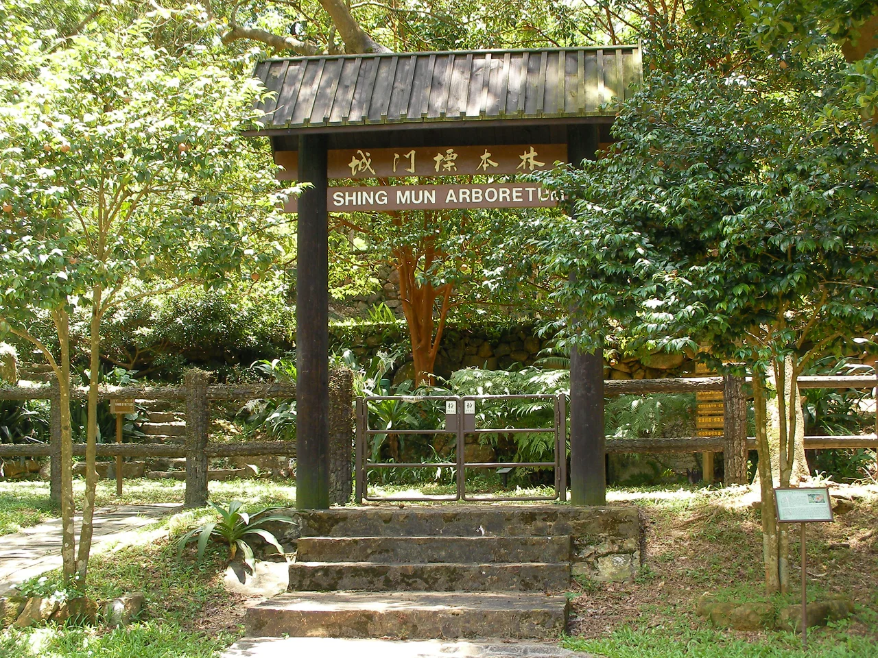
Among the thousands of plant species in the park, one earns particular attention. Camellia granthamiana grows along the stream called Tai Shing Shek Kan, west of the reservoir, bearing white flowers more than 12 centimetres in diameter. It is a rare species — scientists found it only a few decades ago — and it is named after Sir Alexander Grantham, a former Governor of Hong Kong. The fung shui grove near the head of the reservoir, close to the site of the former Tai Wai Village, contains more than 70 species of trees and has been designated a special area meriting additional protection. These fung shui woodlands, protected by village custom rather than law for centuries, often survived deforestation precisely because no one was permitted to cut them. Shing Mun's grove is one of the better-preserved examples in Hong Kong. The Shing Mun Arboretum, established in the 1970s on what were once terraced fields, contains 7,000 plants from over 300 species native to Hong Kong and southern China, including an important collection of Camellia specimens.
Wildlife at the Edge of the City
Tsuen Wan, one of Hong Kong's major satellite towns, begins almost at the park's doorstep. The proximity means wildlife is rarely abundant — the pressure of several million nearby residents makes that impossible — but the park is not empty. Squirrels are common. Barking deer appear in the denser forest sections. Wild boars root through the undergrowth, particularly at night. Pangolins, among the world's most trafficked animals and critically threatened across Asia, have been recorded in the park. And the monkeys: a population of rhesus macaques has spread from nearby Kam Shan Country Park, where they were originally introduced, and now ranges along the forest tracks at Shing Mun. They are habituated to people and should not be fed, but their presence along the trail edges gives the park a wildlife dimension that surprises first-time visitors expecting only trees.
Trails, Traditions, and Getting There
The park has no parking for private cars — the access road is too narrow, and the Transport Department prohibits coaches and private buses from using it. Minibus 82 connects Tsuen Wan's Shiu Wo Street with the reservoir. The Shing Mun Country Park Visitor Centre, near the minibus terminus, provides context on the reservoir's history, the mining industry, and the park's geology, with mineral specimens and animal displays on hand. Barbecue facilities cluster to the south and southeast of the reservoir, near the dams. A campsite at Lead Mine Pass serves through-hikers on the MacLehose Trail. The park's combination of accessible trails, dramatic reservoir views, and the quiet density of its reforested hills makes it one of the more rewarding day walks available without leaving Hong Kong's public transport network.
From the Air
Shing Mun Country Park lies at approximately 22.385°N, 114.144°E in the central New Territories of Hong Kong. At 5,000 feet, the distinctive elongated shape of Shing Mun Reservoir is clearly visible, cupped in its valley between Grassy Hill and Needle Hill to the east and Tai Mo Shan's shoulder to the west. The urban density of Tsuen Wan appears immediately to the south, making the park's green boundary sharp and legible from altitude. Nearest airport: Hong Kong International (VHHH), approximately 25 km to the southwest. The reservoir's bellmouth overflow — a circular structure in the water connected by a footbridge — is a distinctive visual feature visible on approach.
Nearby Stories
- Chapel of St. Francis Xavier 3.5 km away
- Cuiheng 4.1 km away
- 2015 Shenzhen Landslide 16 km away
- Shunde 31 km away
- Wanshan Archipelago 37 km away
- Nanxiong Formation 96 km away
- Heyuan 149 km away
- Checheng Fu'an Temple 629 km away