Sítio Rangedor State Park
Most urban parks are born easy. This one was not. Sítio Rangedor sits in the Calhau neighborhood of São Luís, about five kilometers from the colonial grid of the historic center, on ground that the state's social-security institute IPEM has owned for decades - which means the land was valuable, already serviced by roads, and ringed by some of the fastest-growing real estate on São Luís Island. That it survives at all as a green space, let alone as a state park, is the result of roughly twenty years of legislation, construction, compromise, and at least one suspicious fire. The story is less a nature tale than a civic one: an argument about what a city owes its last pockets of original forest when every other vacant lot around them has been built.
A Park Built Around Buildings
The Sítio Rangedor Ecological Station was created in 2005 by state decree 21797, as a fully protected conservation unit covering 126 hectares - the most restrictive category the Brazilian system offers. In practical terms, that means no public access, no infrastructure, no human use beyond scientific research. That did not stop the state from building inside it. The Henrique de La Roque Palace, housing the Administrative Centre of the State of Maranhão, had actually gone up in 1991 - before the ecological station existed. Soon after the station's formal creation, the Legislative Assembly of Maranhão was built within it. Decree 23.303 of 2007 trimmed the protected area down to 121 hectares. Over the following years, the government added the Sebrae Multicenter and the Pedro Neiva de Santana Convention Center, each nibble justified on the grounds that the land in question had already been deforested. The arithmetic of a "fully protected" area in the middle of a capital city turned out to be soft.
Environmentalists on the Front Foot
By the mid-2010s local environmentalists had been resisting every successive incursion for years, and they had reason. São Luís Island's water security depends partly on aquifer recharge, and Rangedor's forest floor - sitting on permeable soil that absorbs rainfall and releases it slowly - is one of the city's last effective catchments. In February 2013, state politicians staged a ceremony planting 50 native seedlings inside the ecological station, announcing a compensation and reforestation program. About 25 hectares were slated for it. In October 2013 came word that the Maranhão Institute of Industrial Metrics and Quality would build its headquarters inside the unit. Then, in December 2015, a major fire devastated the conservation unit. The fire department declined to say what caused it. Environmentalists did not need a cause to know what a convenient fire looked like.
The 2016 Reclassification
On May 11, 2016, the state legislative assembly approved Law 321/2015, which changed both the status and the name of the unit. The Ecological Station became the Sítio do Rangedor State Park - a significant downgrade in protection, but also a functional upgrade in one dimension: the new classification allowed public visitation and leisure use, recreation in contact with nature and ecological tourism. Previously the public could only enter for educational purposes. The change was, depending on whom you asked, either a surrender to development pressure or a pragmatic acknowledgment that an urban forest nobody was allowed to visit was an urban forest nobody would defend. In 2017, construction began on a redesigned leisure space covering about 7 percent of the park, concentrated in the areas already degraded by burning, garbage dumping, and illegal hunting. Environmentalists warned that even leisure-scale construction would compromise the aquifer recharge function. The project went ahead anyway.
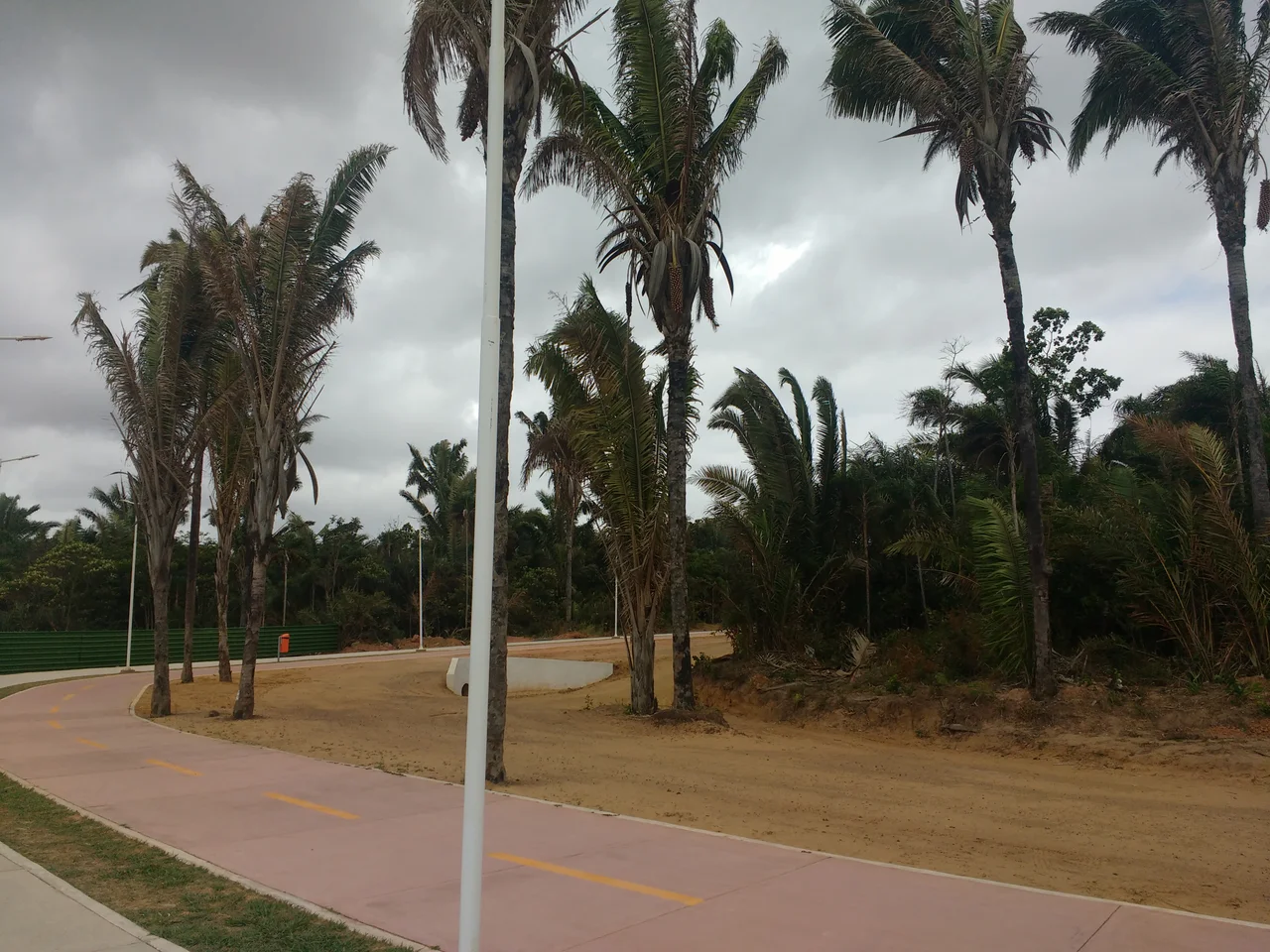
What the Public Got
The new park opened in September 2019 and includes eight squares - named Love, Murici, Ouriços, Tiracambú, Pajeú, and others - each equipped with sports gear and playgrounds. A hiking trail runs through the forest, along with a 3.5-kilometer bike path, a food-truck village, 500 parking spaces, and an Environmental Police station. What the park also still contains is real forest: 120 hectares of pre-Amazon (sometimes called Eastern Amazon) canopy, the original environment of Upaon-açu Island, with palms like babassu, juçara, buriti, tucum, and anajá under a canopy of cashew, jatobá, embaúba, and chestnut trees. The fauna that survives includes capijuba monkeys, capuchin monkeys, anteaters, armadillos, caracaras, hawks, caimans, wattled jacanas, and jandaia parakeets. It is not wilderness. It is a negotiated remnant. Given how the negotiation went, it is more than anyone watching in 2005 had any right to expect.
From the Air
Sítio Rangedor State Park at 2.50°S, 44.27°W, in the Calhau district of São Luís, about 5 km east-northeast of the historic center. From 3,000-6,000 feet the park appears as a distinct forested block surrounded by residential streets, with the Henrique de La Roque Palace, Legislative Assembly, Sebrae Multicenter, and convention center visible on its periphery. Marechal Cunha Machado International Airport (SBSL) is about 8 km south-southeast. The park sits on a slight topographic rise characteristic of São Luís Island's interior. Best viewing in August-November dry season.
Nearby Stories
- Baixada Maranhense Environmental Protection Area 19 km away
- Metal Open Air 33 km away
- Lençóis Maranhenses 53 km away
- Ilha de Santana Lighthouse 55 km away
- Maranhão mangroves 74 km away
- Chapada Limpa Extractive Reserve 126 km away
- Santa Inês 149 km away
- German submarine U-164 (1941) 471 km away