_p029_JEBEL_ABOU_ASSAB.jpg)
Southern Red Sea region
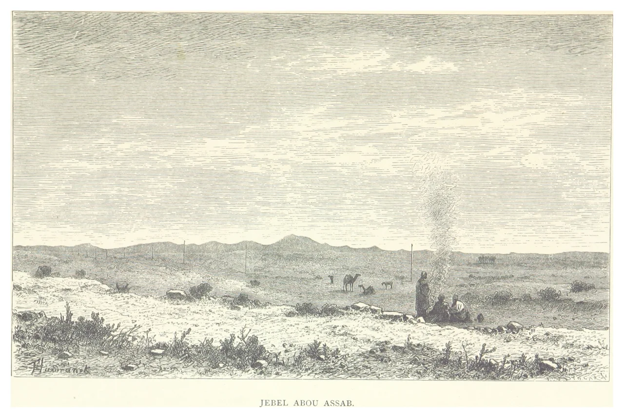
If you measured a place by how hostile its land is to human life, the Southern Red Sea region of Eritrea would rank near the top. The population is 83,500 across 27,600 square kilometers - about three people per square kilometer. The dominant geography is the Danakil Desert, a salt-crusted volcanic plain that ranks among the hottest places on earth. Rainfall averages 200 millimeters per year. The soil is too salty for agriculture. And yet the region stretches 500 kilometers along the Red Sea, bounded by Mount Ramlu at 2,248 meters, containing the coastal city of Assab and a handful of small towns whose names - Beilul, Rahaita, T'i'o - appear on maps rarely and in guidebooks less often.
The Danakil
The Southern Red Sea region forms the major part of the Danakil Desert, the geological depression where the African, Arabian, and Somali tectonic plates are slowly pulling apart. In other places, this kind of geology produces volcanoes and ocean floors. Here it has produced a landscape of salt flats, sulfur pools, cinder cones, and lava fields so foreign to ordinary experience that Apollo astronauts trained here before going to the moon. Temperatures in May can push past 30 degrees Celsius in the lowlands, which is actually cooler than the Danakil Depression proper, which regularly exceeds 48. In December through February, the high ground can freeze at night. This is the kind of place where weather is not a nuisance but a hazard, and where visitors plan water supply with the seriousness of military logistics.
The Port of Assab
Assab is the largest town in the region and the country's principal southern port. Newly unified Italy bought Assab from a local sultan in 1869, the same year the Suez Canal opened, and the acquisition eventually became the foundation of the colony of Eritrea in 1890. The port has changed hands, purposes, and priorities since. During the Ethiopian-Eritrean federation of 1952 to 1962 and the subsequent Ethiopian occupation, Assab served as landlocked Ethiopia's primary maritime outlet. After Eritrean independence in 1993, the port was meant to serve Ethiopian trade still - but the 1998 to 2000 border war between the two countries closed that arrangement, and Assab has operated below capacity ever since. Ships still call. The infrastructure still exists. What is missing is the transit volume that a working relationship with Addis Ababa would provide.
The Wildlife That Remains
Despite the harshness, the region supports a surprising range of animals - hamadryas baboons, Soemmerring's gazelle, dorcas gazelle, warthog, black-backed jackal, Ruppell's fox, dikdik, African golden wolf, striped hyena, Abyssinian hare, African wild ass, and ostriches. The African wild dog was once present, but its current status is unknown and most likely extinct in Eritrea. Cheetah reports persist without evidence. In a landscape this dry, water sources become gathering points - animals, nomadic pastoralists, and the very occasional visitor all converge on the same few wells and seasonal pools. The Afar herders who have lived here for centuries manage their camels, goats, and cattle in wide-ranging circuits that track the sparse grazing across the region's enormous distances.
The Afar People
Most of the region's residents are Afar, an ethnic group whose traditional homeland straddles Eritrea, Djibouti, and Ethiopia. Afar society has traditionally been organized into loose confederations under sultans, with the Sultanate of Aussa historically the most prominent. The Afar are widely respected for their ability to thrive in an environment that kills outsiders quickly - mastery of camel husbandry, intricate knowledge of where water surfaces for which seasons, and a political tradition that has preserved substantial autonomy even under successive colonial and national governments. The region's three administrative districts - Are'eta, Central Denkalya, and Southern Denkalya - map roughly onto Afar population distribution. Under Eritrea's one-party state, local administration operates on a restricted political framework, and since independence all elections have been run by the People's Front for Democracy and Justice.
Demography of a Hard Country
As of 2005, the region had 83,500 people, up from 73,700 in 2001 - a net growth rate of 11.74 percent. The total fertility rate was 3.9 children per woman. Infant mortality ran at 122 deaths per 1,000 live births, a figure that reflects both the environmental pressures and the gaps in health infrastructure across vast sparsely populated distances. Literacy in 2002 was 60 percent for men and 41.6 percent for women. Agriculture remained the largest employer at 34.6 percent of the workforce despite the unforgiving conditions. These numbers describe a society that has adapted to extreme scarcity over generations - not comfortably, not without cost, but successfully enough that the region continues to exist, with its own languages, traditions, and settlement patterns intact.
Aerial View
From altitude the Southern Red Sea region appears almost like an extraterrestrial landscape - salt flats glittering in the sun, dark volcanic fields, the sinuous coastline with its scatter of small islands, the thin green strips where seasonal wadis have briefly supported vegetation. Mount Ramlu rises above the coastal plain as one of few substantial landmarks. The Bab-el-Mandeb narrows to the south where the Red Sea opens into the Gulf of Aden. Across the water, the mountains of Yemen are visible on clear days. The port of Assab appears as a small geometric puzzle against all this desolation, the last outpost of industrial civilization before the plates of the earth really start to pull apart.
From the Air
Located at 13.75°N, 41.50°E along Eritrea's southern Red Sea coast. Assab International Airport (HHSB) provides the main aviation facility. Recommended viewing altitude FL300-390 for overview of the Danakil region. Extremely hot surface temperatures year-round; significant thermal turbulence during daytime hours. The dramatic geology of the Danakil Depression is clearly visible from altitude - salt flats, volcanic fields, and the active spreading center. Expect limited navigation aids and restricted airspace related to Eritrea's military.
Nearby Stories
- Assab 84 km away
- Dallol (hydrothermal system) 92 km away
- Danakil Depression 103 km away
- Attacks on the Sounion 103 km away
- Battle of Al Hudaydah 116 km away
- Yemen Eyalet 127 km away
- Mokha 174 km away
- Battle of Amba Aradam 176 km away