.jpg)
Spiekeroog
Inside the small wooden Alte Inselkirche on Spiekeroog hangs a portrait of the Virgin Mary that, by long island tradition, washed ashore from a wreck of the Spanish Armada in 1588. The church itself was built in 1696, the oldest on the East Frisian Islands. A Catholic relic in a Protestant church on a sandy German island, salvaged from a Spanish naval catastrophe four hundred years ago, is the kind of detail that ought to be apocryphal but probably is not. Spiekeroog has a habit of holding on to things the sea brings in.
Storage Island
The name Spiekeroog is disputed but the locals tend to accept that it means storage island, an old reference either to grain kept here or to the island's tendency to accumulate things. It first appears in records in 1398, then named Spiekeroch, and was at the time a hiding place for pirates. The islanders, by all accounts, did business with the pirates and were occasionally robbed by them in return - a complicated relationship, balanced by remoteness and necessity. By 1625 thirteen families lived here, making a living from fishing, farming, and burning muschelkalk, a shell-rich limestone, into lime. Whaling and shipping followed. During Napoleon's continental blockade, with shipping shut down, the island survived almost entirely on smuggled goods running between Spiekeroog and English-held Heligoland out in the open North Sea.
No Cars, No Bikes
Spiekeroog is one of the most stringently low-traffic islands in Germany. Visitors leave cars in Neuharlingersiel and ride the ferry across the Harle gat. On the island itself there are no private vehicles. Even bicycles are discouraged - the village is small, the distances are short, and the dunes are no place for tires. Walking is the default. Electric mini-cars handle the few logistical tasks that cannot be done on foot. Fire and rescue have their own vehicles. Everyone else walks, or pulls a small wooden wagon, or rides the horse-drawn tram. That tram, the Museums-Pferdebahn, was originally built in 1885 to run between the village and the western beach and was the last working horse-drawn railway in Germany when diesel locomotives replaced it in 1949. In 1981, with admirable obstinacy, the islanders put the horses back on the rails for tourists, and the Pferdebahn has been running ever since.
The Cemetery of the Homeless
On a remote part of the island sits a small graveyard with the bleak name Drinkeldodenkarkhof - the cemetery of the drowned. It is also called the cemetery of the homeless, because in earlier centuries any unidentified body washed ashore was considered to have no home. Eighty-four victims of the sinking of the ship Johanne in 1854 are buried here, side by side in the dunes. Spiekeroog has saved many shipwreck survivors over the centuries. The cemetery is a quiet reminder of the ones the island could not save in time. A bronze figure called De Utkieker - the Lookout, three and a half meters tall, sculpted by Hannes Helmke - stands on a dune watching the sea, installed in 2007 as a symbol for keeping the island wild.
Quiet by Policy
Spiekeroog has long been a hideout for German politicians and intellectuals. Three former Federal Presidents - Gustav Heinemann, Richard von Weizsaecker, and Johannes Rau - spent holidays here. Rau got married on the island. The reasons are obvious if you arrive in the off-season: there is essentially nothing to do at a high volume. The Old Island Church seats around a hundred people. The Island Museum is small. The Shell Museum displays roughly 2,000 shells in a quiet old building called the Kogge House. The National Park Center Wittbuelten, two kilometers east of the village, holds a sperm whale skeleton and explains the ecology of the Wadden Sea in patient, child-friendly detail. The current highest natural point in East Frisia, the White Dune, is here - having quietly inherited the title from a more famous dune on neighboring Langeoog that was loved into collapse. Spiekeroog seems determined not to repeat that mistake.
From the Air
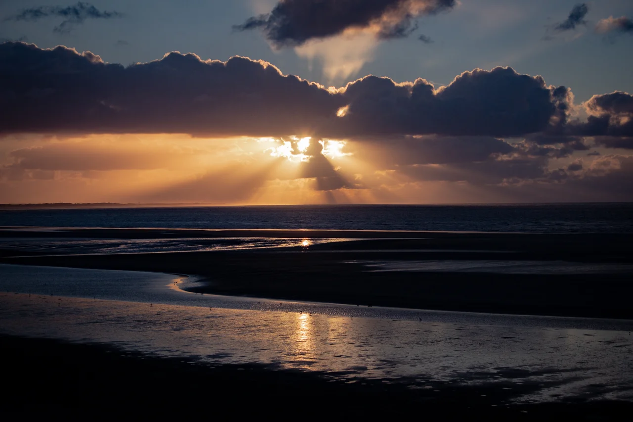
Spiekeroog lies at 53.77 N, 7.70 E, an island of 18.25 sq km tucked between Langeoog to the west and Wangerooge to the east, separated from Wangerooge by the Harle tidal gat. There is no airstrip on Spiekeroog itself - the only inhabited East Frisian Island without one. Nearest landing options are Wangerooge (EDWG) directly east or Langeoog (EDWL) directly west, with the larger Wittmundhafen (ETNT) on the mainland. The harbor on the southwest corner connects to Neuharlingersiel; the village sits just inland from the harbor. From above, the island's east and west ends are distinctly different - the eastern half is the wilder one, all unbroken dune fields and salt marsh under national park protection.
Nearby Stories
- Juist 3.5 km away
- Varel 5.6 km away
- Wilhelmshaven LNG Terminal 6.8 km away
- HVDC DolWin2 7.2 km away
- Vossbarg 10 km away
- Heligoland Bight 10 km away
- Tiefwasserreede 13 km away
- Delfzijl 14 km away