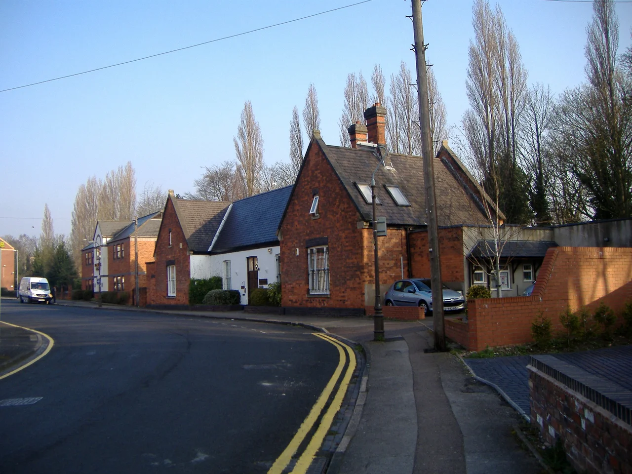

Sutton Coldfield
There is a stretch of woodland inside the city of Birmingham that the city has been trying, without quite admitting it, to lose for a century. Sutton Park covers 2,224 acres of heath, oakwood, gorse, and pools, a national nature reserve sitting inside the eighth-largest city in the United Kingdom. It survived because Henry VIII, prompted by a Lichfield-born bishop named John Vesey, granted Sutton Coldfield a charter in 1528 that turned the manor into the Royal Town of Sutton Coldfield and gave its inhabitants the right to hunt and fish freely on the land. The charter survives in fragments. The park survives whole. Drive north out of central Birmingham for seven miles and you arrive in a place that calls itself a town, has its own parish council, has its own mayor, and is technically a district of Britain's second city.
Charcoal Town
The etymology is straightforward. Sutton is south town, south of Tamworth and Lichfield. Coldfield is more interesting. The col is charcoal. The men who worked these woods burned the trees into charcoal for the West Midlands ironworks, and the field they worked was the col-field. Long before the charcoal-burners, the land was occupied. The M6 Toll, cut through the eastern edge of the town in the early 2000s, exposed Bronze Age burnt mounds at Langley Brook and an Iron Age circular house surrounded by ditches. Sutton Park itself preserves a mile and a half of Icknield Street, a Roman road that ran from Gloucestershire up to South Yorkshire, the gravel surface still raised eight metres wide beneath the heather. The deer park that fed the Roman farmstead at Langley Brook can still be traced in the bank and ditch that runs through Holly Hurst.
Bishop Vesey's Town
By 1500 Sutton Coldfield had decayed. The Wars of the Roses had emptied the markets. The manor house was falling down. In 1510 the king's officer sold its timbers to the Marquess of Dorset, who carried them off to Leicestershire to build Bradgate House. The man who saved the town was John Harman, born here, who went to Magdalen College Oxford, became friends with Cardinal Wolsey, became chaplain to Henry VIII, and on becoming Bishop of Exeter in 1519 changed his surname to Vesey. He came home in 1524 for his mother's funeral and was horrified by what he saw. He persuaded Henry VIII to grant the charter of 1528. He founded a grammar school in the parish churchyard. He built a new house for himself called Moor Hall. The school he founded still exists, now split into Bishop Vesey's Grammar School. The royal charter still gets cited in council meetings.
Ashford v Thornton
In May 1817 a young woman named Mary Ashford walked out of a party in Erdington with a man named Abraham Thornton and was never seen alive again. Her body was pulled the following morning from a water-filled pit by Penns Lane. Thornton was tried for her murder and rape. He produced an alibi the jury accepted, and walked free. The public response was outrage. Mary's brother William filed a private appeal, the old common-law remedy that allowed the family of a murder victim to challenge an acquittal. Thornton was hauled to London for retrial. When asked his plea, he answered, Not guilty; and I am ready to defend the same with my body. He pulled on a leather gauntlet and threw the other at William Ashford's feet, demanding trial by combat. Ashford refused to pick it up. By the rules of the procedure, this freed Thornton. The case so shocked Parliament that in 1819 it abolished both private appeals and trial by combat. Sutton Coldfield had quietly ended a tradition that stretched back to the Norman Conquest.
Inside the City
Sutton joined Birmingham in 1974, swallowed up by the Local Government Act and the creation of the West Midlands metropolitan county. The townspeople have not entirely forgiven it. In 2014 a long local campaign won official confirmation from a government minister in the House of Commons that the historic title Royal Town remained permissible. In 2016 the first election to a new Sutton Coldfield Town Council was held, devolving some powers back from Birmingham City Council. The shopping centres are modern, the Gracechurch and the Red Rose, both built on what used to be medieval streets that John Betjeman in 1959 said could become one of the most attractive streets in England if anyone bothered to restore them. Nobody did. They were demolished. The park, the charter, and the woodland survive instead, and 250,000 visitors a year still cross Sutton Park to walk the Icknield Street that the Romans laid.
From the Air
Sutton Coldfield town centre lies at approximately 52.566°N, 1.823°W, about 7 miles northeast of Birmingham city centre. From cruising altitude the most striking feature is Sutton Park, a large dark green rectangle of 2,224 acres on the western edge of the town. The Cross-City rail line runs north through the town toward Lichfield. Birmingham Airport (EGBB) sits 9 nm to the southeast. East Midlands (EGNX) is 22 nm to the east-northeast. Wolverhampton Halfpenny Green (EGBO) is 14 nm west. Barr Beacon, the high point west of the town, makes a useful navigation reference. Recommended viewing altitude 3,000-5,000 ft AGL in clear visibility.
Nearby Stories
- Coalbrookdale 2.3 km away
- Market Bosworth 2.5 km away
- Croxden Abbey 5.3 km away
- Bordesley Abbey 7.4 km away
- Nottingham Canal 9.9 km away
- Combermere Abbey 14 km away
- Ludlow 18 km away
- Althorp 30 km away