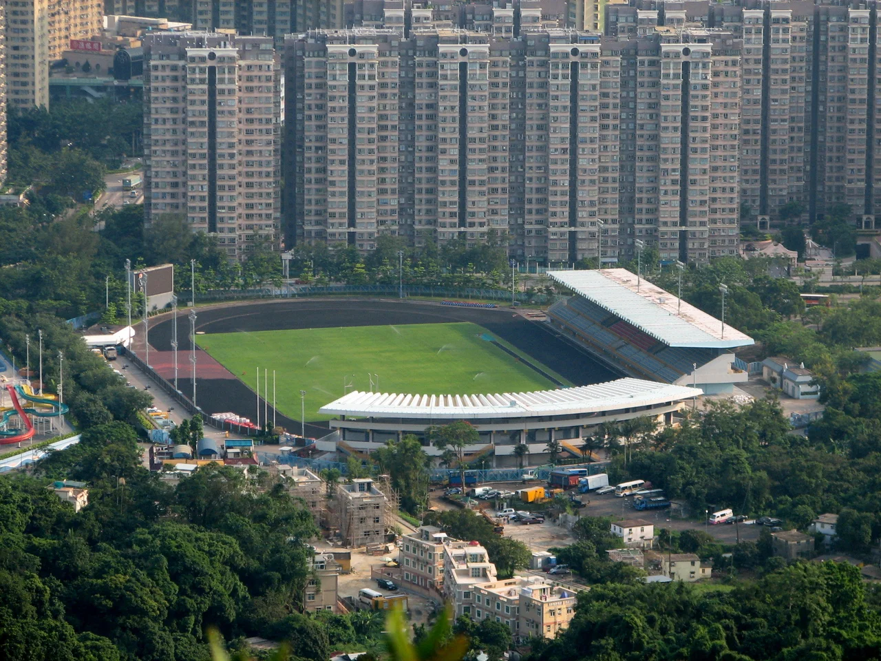

Tai Wo
Few place names in Hong Kong have drifted so far from where they started. Tai Wo — "Great Peace" — was once the market district at the heart of Tai Po, the lively cluster of stalls and shops along the southern shore of the Lam Tsuen River. Today it names a residential area and an MTR station two kilometres away from those original streets. To understand how that happened is to trace a century-long contest between clan power and collective defiance in the New Territories.
A Market Founded in Rivalry
For generations, the Tang clans of Lung Yeuk Tau and Tai Po Tau controlled the main Tai Po market on the northern shore of the Lam Tsuen River — known in Cantonese as Tai Po Tau Hui, later as Tai Po Old Market. It was a monopoly, and in 1892, an inter-village alliance called the Tai Po Tsat Yeuk set out to break it. The Tsat Yeuk — seven villages whose members were notably not from the Tang clan — established a new market on the southern shore. They called it Tai Wo Market, or Tai Po New Market, centred on what is now Fu Shin Street. To link their new market town to the existing one, the Tsat Yeuk built the Kwong Fuk Bridge across the Lam Tsuen River. They also constructed Tai Po's Man Mo Temple, positioned at the centre of Fu Shin Street, signalling both religious authority and commercial ambition.
When the Name Migrated
The Tsat Yeuk's Tai Wo Market thrived and eventually became the dominant commercial centre of Tai Po. Over time, the area around Fu Shin Street shed the name Tai Wo and became known simply as Tai Po Market — which is how it appears today, and where the Tai Po Market MTR station now stands. The old Tai Po Market of the Tang clans became Tai Po Old Market. The name Tai Wo, without a fixed anchor, floated northward. When the government developed a new residential estate in the area in the late 1980s, it was called Tai Wo Estate. Tai Wo Estate and its companion Po Nga Court were completed in 1989. The new Tai Wo station of the East Rail line was built nearby. The name had found a new home, two kilometres from its origin.
Farmland, Industrial Plans, and a Change of Heart
The land under Tai Wo Estate had a complicated past before the housing blocks arrived. According to an elder of the Tang clan of Tai Po Tau — the same Tang clan whose market monopoly the Tsat Yeuk had challenged a century earlier — some of the land originally belonged to the Tang clan under long-term government lease. The government bought it back as part of the Tai Po New Town development. There was further irony in store: the site had originally been designated for industrial use. But in 1983, those industrial plans were scrapped, and the area was instead developed for housing. The land that was once farmland, then slated for factories, became one of the New Territories' public housing estates instead.
Lines Drawn, Names Contested
Even after the estate was built, the boundaries of Tai Wo continued to shift and be disputed — this time in the more prosaic arena of electoral constituency drawing. By the 2015 Hong Kong District Council elections, the Tai Wo Estate was divided between three constituencies: "Tai Wo," which covered most of the estate; "Po Nga," which covered Po Nga Court and another part of the estate; and "Tai Po Hui," which covered the historic Tai Wo Market area on Fu Shin Street. The Tai Wo MTR station was positioned precisely on the boundary between the Tai Wo and Po Nga constituencies — a configuration that drew accusations of gerrymandering. A place named for peace had become an ongoing argument about lines.
From the Air
Tai Wo sits at approximately 22.451°N, 114.161°E in the Tai Po District, northeast of Tai Wai and Sha Tin. The area lies in the broad valley north of the Sha Tin hills, with Tolo Harbour visible to the east on clear days. The Lam Tsuen River runs through the valley below. Hong Kong International Airport (VHHH) is approximately 35 km to the southwest on Lantau Island. From the air at around 3,000 feet, the grid of Tai Wo Estate's tower blocks is visible against the surrounding hills. The East Rail line viaduct threading through the valley is a clear navigation landmark. Plover Cove Reservoir sits to the northeast.
Nearby Stories
- Chapel of St. Francis Xavier 3.5 km away
- Cuiheng 4.1 km away
- 2015 Shenzhen Landslide 16 km away
- Shunde 31 km away
- Wanshan Archipelago 37 km away
- Nanxiong Formation 96 km away
- Heyuan 149 km away
- Checheng Fu'an Temple 629 km away