
Templin
In 1735 Templin burned down in under four hours. When the smoke cleared, almost nothing was left inside the fortifications - a chapel, a few houses - but the fortifications themselves stood untouched, along with all three gates and the powder tower. That accident of fire is why Templin still has one of the most complete medieval town walls in northern Germany: 1,735 metres of fieldstone, up to seven metres high, with fifty of the original fifty-four wall houses surviving. The length in metres happens to match the year the town inside it burned. What you walk through today is an eighteenth-century town on deliberately widened streets, wrapped in a fourteenth-century ring.
The Ring and the Gates
The wall took roughly a century to build, from about 1300 to about 1400, and it was built the way everything in the Uckermark was built - out of the granite boulders the ice age left lying in the fields, split and stacked. Three gate towers still carry traffic: the Berliner Tor, the Prenzlauer Tor and the Muehlentor, each a brick tower over a passage narrow enough to remind you what it was for. The Pulverturm, the old powder tower, sits in the wall itself. In between, the Wiekhaeuser - open-backed turrets built into the inner face so defenders could shoot along the wall - survive in numbers that almost no other German town can match, because Templin was too poor and too far from anywhere to bother demolishing them when demolishing walls became fashionable.
Treaty Town
Templin first appears in writing in 1270, as Templyn, in a deed of the Bishop of Brandenburg, and it was being called a town by 1314 under Margrave Waldemar. Three years later it gave its name to a peace. The Treaty of Templin, concluded on 25 November 1317, ended the long and expensive wars Brandenburg had been fighting against Denmark, Mecklenburg and Pomerania - the kind of settlement that gets signed in a small market town precisely because the small market town is nobody's capital and everyone can reach it. The Thirty Years' War went badly here; Danish troops wrecked the place. From 1816 Templin sat in the Prussian province of Brandenburg, a country town on the road north.
The Soldier Buried at St George's
In the spring of 1813, a twenty-three-year-old woman from Friedland enlisted in the Prussian 9th Infantry Regiment under the name August Luebeck. Friederike Krueger fought at Grossbeeren that August and at Dennewitz on 6 September, where shrapnel tore into her and she was promoted to non-commissioned officer. She went through something like seventeen engagements against Napoleon's armies and came out with the Iron Cross second class, the Prussian war medal and the Russian Order of St George. She married Carl Koehler in 1816, drew a royal pension of seventy-two thalers a year, lived first at Lychen, and moved to Templin in 1841. She died there on 31 May 1848 and was buried with honours at the St George cemetery, where her grave is still there to be found.
The Pastor's Daughter
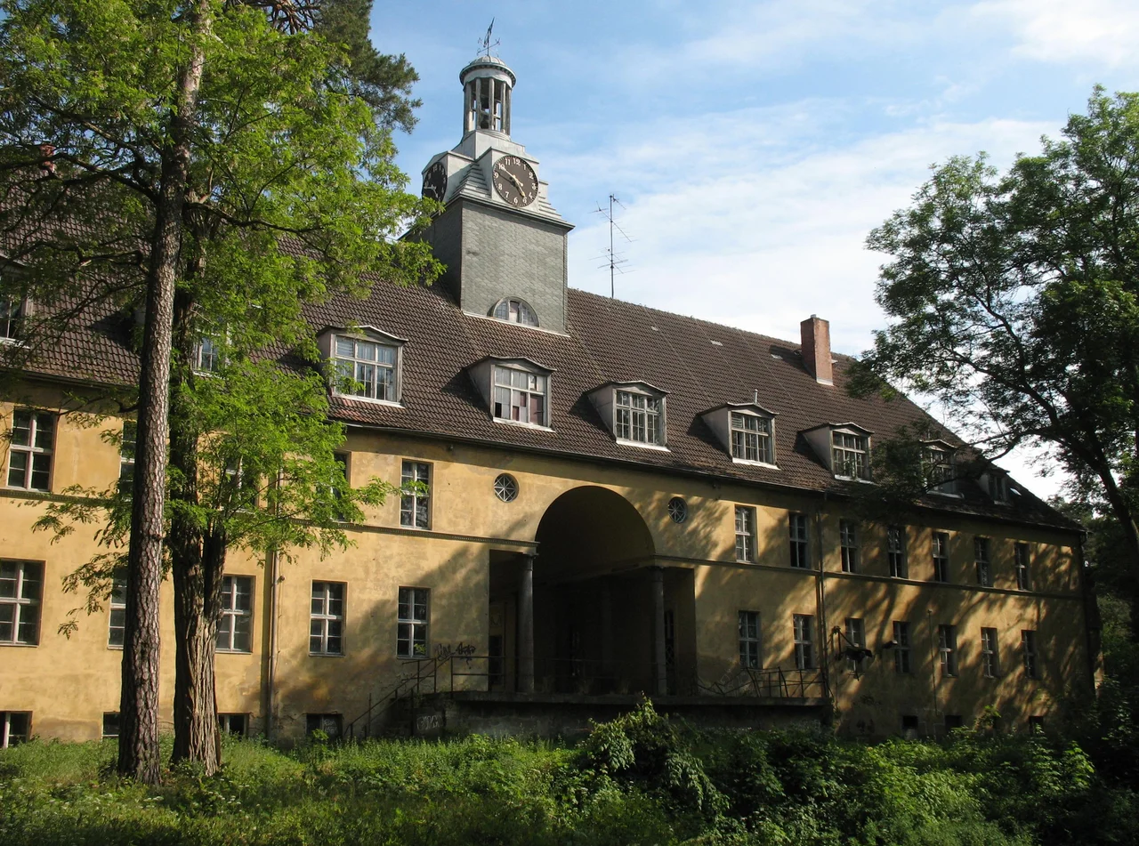
Horst Kasner, a Protestant pastor who had already left Hamburg for East Germany in 1954, moved his family to Templin in 1957 to run a pastoral college at the Waldhof, on the edge of town. His daughter Angela, then three, grew up here, went to school here, and left for Leipzig to read physics. Nearly fifty years later, in 2005, she became chancellor of Germany, and the town later made her an honorary citizen. Her mother Herlind Kasner, a teacher, lived in Templin until her death in 2019. Other lives ran through the place: the actress Angela Winkler was born here in 1944, and the Olympic athlete Manfred Kokot in 1948. Templin also has a boarding-school ghost - the Joachimsthalsches Gymnasium, founded in Joachimsthal in 1607, later relocated to Berlin, moved out to Templin in 1912 and dissolved in 1956. Its park survives, and in 1988 the Lehmann-Garten botanical garden was recreated inside it.
Brine, Pines and a Soviet Runway
Templin covers 379 square kilometres, which makes it the second-largest town in Brandenburg by area and one of the largest in Germany, and about 15,500 people live in it. The arithmetic of that is mostly forest and water: lakes left by the ice, pine and beech running south into the Schorfheide, and day-trippers out from Berlin. In 2000 the town opened a thermal brine spa, which is now a good part of its economy. The twentieth century left heavier marks nearby. Hermann Goering built his estate Carinhall in the forest to the south, and Luftwaffe personnel blew it up in April 1945 days before the Red Army arrived. North of Gross Doelln the Soviet air force laid out an airfield between 1952 and 1956 that was described at the time as the largest military airbase in Europe; villagers lived with the noise and the crashes for four decades. Walter Ulbricht, who ran East Germany, kept a country retreat out there and died at Gross Doelln on 1 August 1973.
From the Air
Templin lies at 53.122 N, 13.508 E in the southern Uckermark, about 80 km north of Berlin. From 2,000-3,500 ft AGL the old town is unmistakable - a compact oval of roofs ringed by an unbroken wall, sitting between the Templiner Stadtsee and the Roeddelinsee, with the lake chain running southwest. The single best navigational feature in the area is the enormous concrete runway at Gross Doelln, roughly 10 km south-southwest, still legible from altitude as a pale scar in continuous forest. The Schorfheide woodland fills the southern horizon. Eberswalde-Finow (EDAV) is about 35 km south-southeast, Rechlin-Larz (EDAX) about 55 km west-northwest, and Berlin Brandenburg (EDDB) about 85 km south. Flat terrain with almost no relief; haze over the lakes is routine in summer afternoons and autumn mornings.
Nearby Stories
- Rheinsberg Nuclear Power Plant 3.2 km away
- Eberswalde Hoard 15 km away
- Battle of Fehrbellin 20 km away
- Oderbruch 27 km away
- Battle of Cedynia 29 km away
- Historical Technical Museum, Peenemünde 79 km away
- Lilleø 191 km away
- Stutthof Concentration Camp 348 km away