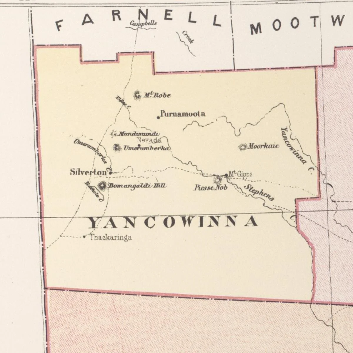

Thackaringa
A man digging for water in the parched country west of Broken Hill struck silver instead. The year was 1875, the digger was Julius Nickel, and the ground he was working belonged to a grazing run called Thackaringa Station. He had been sinking a well into hard, indifferent earth, the way settlers always did out here, where water mattered more than any metal. What he turned up instead was the first recorded silver ore in the Barrier Ranges, a discovery that would help pull tens of thousands of fortune-seekers into one of the most desolate corners of New South Wales. Today almost nothing remains. Thackaringa is a parish, a name on a map, a vanished railway stop on the long red line toward the South Australian border.
Where the Rush Began
Thackaringa sits roughly 490 kilometres from Sydney by rail, hard against the country that bleeds into South Australia near the border town of Cockburn. The land is desert in the technical sense and the lived one. It belongs to the arid heart of the continent, sparsely settled, scoured by dust and heat, with grazing and a little mining holding on where they can. Yet this unpromising ground was where the Barrier Ranges silver story opened. Nickel's 1875 find at the station was the first of its kind in the district. Within a few years, prospectors were combing the ranges in earnest, and discoveries rippled outward. The silver rush proper gathered force around 1880, giving rise to the boom town of Silverton to the north-east. Thackaringa, older than the rush it helped trigger, became one of its earliest outposts.
Two Hundred Souls in the Scrub
By 1888, somewhere between 200 and 300 people lived at Thackaringa, drawn by the promise of silver, lead, and a wage in country that offered little else. Picture what that meant: families in tents and iron-clad huts, the nearest real town a hard ride away, the closest neighbour often the dust itself. This was the parish country of the Wiljali people long before any of it, traditional land that Europeans entered only when minerals gave them a reason. The settlers who came chasing ore lived rough and briefly. The deposits here were never the colossus that lay buried beneath Broken Hill, and as that greater lode revealed itself in the 1880s, Thackaringa's moment passed. The people drifted away, and the township faded into the category of places that exist now mainly as history and a handful of mineral leases.
The Line Through Nothing
For eighty-one years a train stopped here. Thackaringa railway station opened on 2 January 1889 as a stop on the Silverton Tramway, the private line that linked the silver fields to the South Australian railhead at Cockburn and carried ore out toward the smelters and the sea. It was one of six stations on the tramway, a string of names along an iron thread drawn across the saltbush. The station closed on 12 January 1970, its purpose long since spent. The Silverton Tramway itself, once a vital artery of the mining economy, is now a piece of railway history. Standing where the platform was, you would hear only wind. The line that once carried fortunes runs nowhere now.
What the Rocks Still Hold
The geology that drew Nickel and the prospectors has not gone anywhere. The northern part of the district is cut by a large retrograde shear zone studded with garnets and refractory minerals, and quartz veins thread the granite where mineral deposits crystallised over deep geological time. The Thackaringa davidite belt and pods of rutile crystals are part of the district's catalogue, and silver, lead, feldspar, and beryl are still extracted from the ground today. In the twenty-first century, the name has surfaced again in a new context, as a proposed cobalt project eyes the same stubborn earth. The metals that made Thackaringa briefly matter remain locked in the rock, waiting on the next reason for people to return to a place the desert has very nearly reclaimed.
From the Air
Thackaringa lies at roughly 31.96 degrees south, 141.11 degrees east, in far western New South Wales near the South Australian border, around 30 kilometres west of Broken Hill and just east of Cockburn. The terrain is flat to gently undulating arid scrub at about 200 metres elevation, with the disused Silverton Tramway corridor running roughly east-west toward Cockburn as the clearest linear feature from the air. Broken Hill Airport (ICAO YBHI, elevation 959 ft) lies about 30 kilometres east and is the nearest aerodrome with services; the Royal Flying Doctor Service bases operations there. Visibility in this desert country is frequently excellent, though dust storms can reduce it sharply with little warning. Recommended viewing altitude 2,000 to 4,000 ft AGL for the old township and tramway alignment.
Nearby Stories
- Mount Gipps Station 38 km away
- Radium Hill 48 km away
- Kinchega Woolshed 71 km away
- Mutawintji National Park 86 km away
- Menindee, New South Wales 88 km away
- Mount Chambers Gorge 148 km away
- Wilpena Pound 198 km away
- Redruth Gaol 229 km away