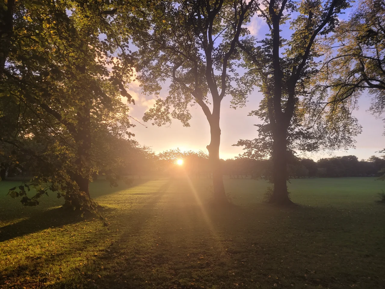

The Meadows, Edinburgh
On Christmas Day 1875, two football teams played their first ever match against each other on what had recently been a marshy stretch south of Edinburgh. The Heart of Midlothian beat Hibernian. They were both new clubs in a young sport, and they would go on to become the city's two pre-eminent sides; their derby is still one of the oldest rivalries in football. The match was played here because The Meadows, as the park is called, was where Edinburgh's earliest football took place. Before that it was a loch. Before that it was a marsh. Before that, presumably, no one walked here at all.
The South Loch
The Meadows began as a body of water known as the burgh loch, or later the South Loch. It covered 63 acres bounded by Hope Park Terrace to the east, Brougham Street to the west, and the site of what would become the Old Royal Infirmary to the north. Water drained westwards through a burn called the Loch-rin, fitted with a sluice gate to keep the level high. That burn gave Tollcross its Lochrin Buildings and Lochrin Place. Until Edinburgh's first piped water from Comiston arrived in 1621, the loch provided much of the town's drinking water. It was partially drained in the mid-seventeenth century and renamed Straiton's Loch or Straiton's Park, after the burgess who tried to improve the area. In 1722 Sir Thomas Hope, 8th Baronet, an agricultural improver and politician, ordered more drainage, hedges, lime tree avenues, drainage canals, and a summer house. For decades maps simply labelled the place The Meadows or Hope Park.
Whalebones and an Exhibition
In 1886 the city allowed an exception to the 1827 Act of Parliament that protected the Meadows from being built upon: a temporary glass pavilion went up for the International Exhibition of Industry, Science and Art. It covered a high percentage of the park for that summer. A relic of the exhibition survived for more than a century. Two whales' jawbones formed an arch over a path called Jawbone Walk. They had originally been the display stand of the Zetland and Fair Isle Knitters Association, who came down from Shetland to show their work, and were left behind when the exhibition ended. They stood for 128 years. Weathering took its toll. The Arch was removed in 2014 for restoration, and in early 2022 it was announced that the jawbones were too badly damaged to be replaced. A bronze replica was proposed.
The First Derby
In the 1870s, before football was the international sport it is now, fledgling Edinburgh clubs used The Meadows as their grounds. Heart of Midlothian and Hibernian were both new. They were small. They played teams of all kinds on the open ground. On 25 December 1875 they met for the first time. A modern plaque near the Whalebone Arch marks the event, although the actual pitch was on the eastern fringe of the park, running east to west alongside the Boroughloch Brewery. The Edinburgh derby is now one of the longest-running fixtures in world football. It started on a converted bog.
Wartime Allotments and the Defeated Flyover
During the Second World War, more than 500 allotments were distributed across the Meadows as part of the Victory Garden programme to grow food. They lasted into the 1960s. The park's flat openness has always been useful. In the late 1960s, planners proposed a flyover, a trunk road raised above the park to carry traffic through the heart of the south side. The plan was defeated by local opposition. The Meadows remained green. If the flyover had been built, central Edinburgh would look enormously different today. Quartermile, the development on the old Royal Infirmary site to the north, would have looked out over a motorway instead of grass.
The Elms
The Meadows is best known among botanists for its mature elms, although Dutch elm disease has thinned their ranks across decades. The fungal blight, spread by bark beetles, swept through northern European elms from the 1960s onward and killed most of them. The survivors here are mainly wych elm, Huntingdon elm, and variable field elm. Some replanting has begun with disease-resistant hybrids such as Ulmus Regal and Ulmus Columella. The mature canopies arch over the central tree-lined paths, Middle Meadow Walk especially, in a way that the city has lost almost everywhere else. To walk under them in summer is to walk under one of the last cathedrals of a tree species that defined British landscapes for centuries.
Festivals and Marches
Each March, nearly a thousand runners take part in the Meadows Marathon, a charity half-marathon and 5K (with a full marathon added in 2013). The Meadows Festival has run on the first weekend in June since the mid-1970s, with a hiatus from 2005 to 2008. The Meadows is one of the host venues for the Edinburgh Festival, including the annual Fringe Sunday. It is also the starting and finishing point for the Edinburgh MoonWalk, which draws around 12,000 walkers raising money for breast cancer research and treatment. Being one of the few flat stretches of open land in the city centre, it sees public rallies as well. On 2 July 2005, around 225,000 people gathered here for the Make Poverty History march, the largest demonstration in Edinburgh's modern history. The loch is long gone. The crowds are not.
From the Air
The Meadows sits at 55.94 deg N, 3.19 deg W, immediately south of central Edinburgh, just south of the University of Edinburgh's George Square campus. From the air, look for the tree-lined paths cutting across the rectangular green space and the larger Bruntsfield Links to the southwest. Edinburgh Castle is roughly half a mile northwest, Arthur's Seat about a mile east. Edinburgh Airport (EGPH) is six miles west. Best viewed from 2,000 to 4,000 feet, with the castle rock, Salisbury Crags, and the Firth of Forth as orientation points.
Nearby Stories
- Ardoch Roman Fort 2.2 km away
- Craignethan Castle 3.1 km away
- Haddington 3.8 km away
- Balvaird Castle 4.3 km away
- Battle of Kilsyth 9.4 km away
- Siege of St Andrews Castle 9.9 km away
- Neidpath Castle 11 km away
- Melrose Abbey 15 km away