Tianguá
The road from the Piauí lowlands climbs, switchbacks through the Pavão and Morro do Sombrinho bends, and deposits the traveler at 600 meters on the tableland of the Serra da Ibiapaba, under the arms of a 16-meter statue of the Risen Christ. This is Tianguá - about 76,000 people as of the 2019 estimate, set at the top of the escarpment that separates the Ceará interior from the Piauí sertão. The geography rewards the climb. It is cooler up here than at the foot of the serra; rainfall is higher; the gardens grow things the caatinga below cannot. On the neat lots around town, farmers plant sugar cane next to sweet potato next to strawberry, cashew next to tomato next to pepper. That strawberry crop is not a typo. It is the serra.
The Road Halfway
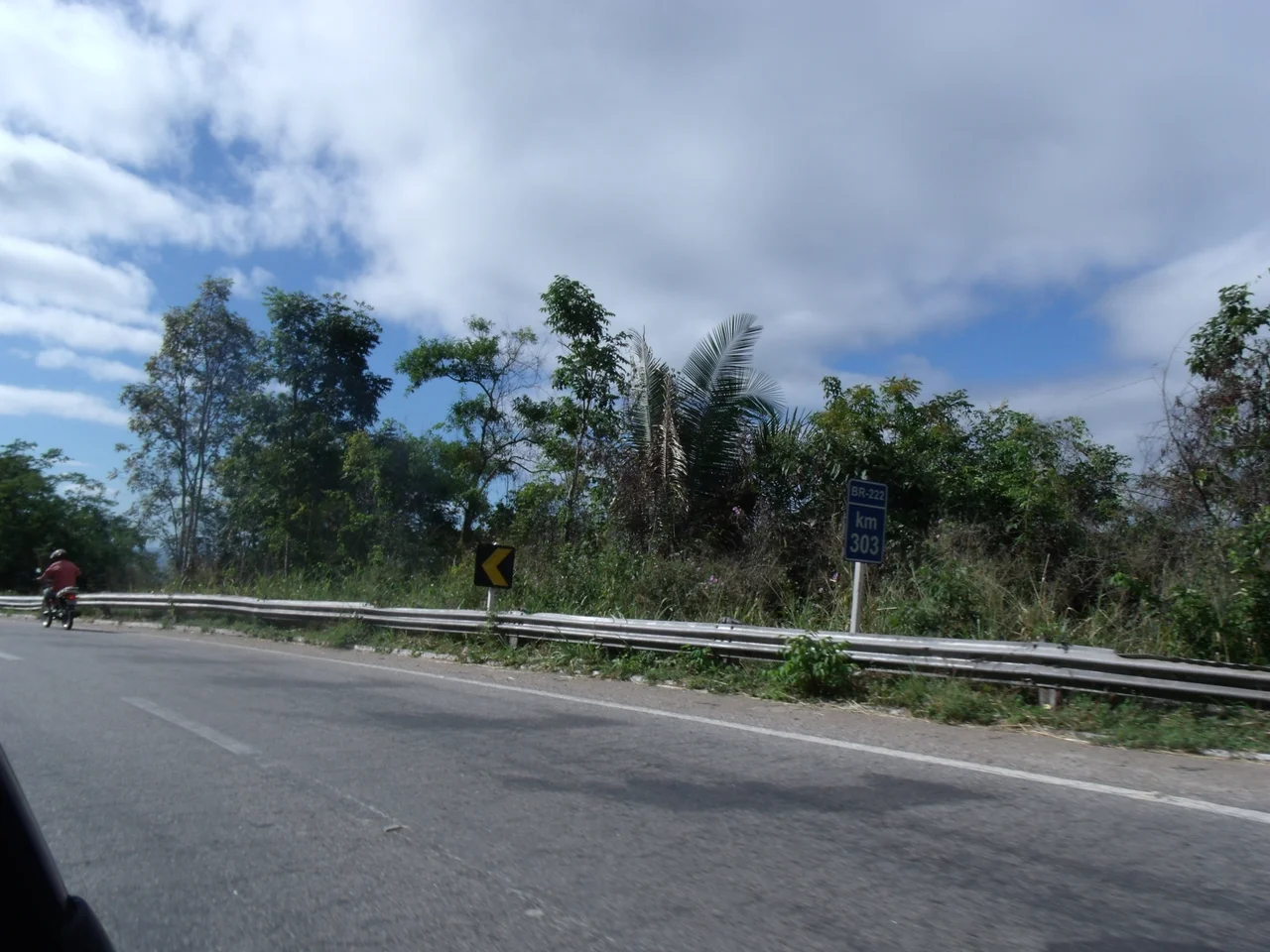
On the map, Tianguá is a way station. The BR-222 comes in from the east across flat Ceará country, climbs the escarpment at the edge of town, and continues west over the Ibiapaba plateau into Piauí, aiming for Teresina 300-odd kilometers away. Fortaleza sits roughly the same distance back the other way. Most travelers who pass through Tianguá are moving between those two capitals, often with a side-trip planned for Ubajara National Park to the east where a cableway drops into a cave system through Atlantic Forest canopy. Tianguá is the fueling-up town, the stop for coffee and a bathroom, the last chance to sleep before Teresina or Fortaleza in either direction. But the town also has its own things worth the stop, and most of them involve the escarpment itself.
Saints and Stone
The Parroquia de Senhora Santana Cathedral, inaugurated in 1882, gives the town its religious center. The São José Seminar Convent - built by Franciscans in the first half of the 20th century as the first seminary in the region - survives as a quiet stone-faced mansion with an internal courtyard, tended gardens, and a chapel; it long functioned as a boarding school for boys. Nine kilometers out on the Cajueiro road, the Casarão do Sítio Cajueiro stands as the oldest architectural heritage in Tianguá, built in 1880 and still reading as a piece of 19th-century rural Ceará. And perched on the Morro da Resurreição above the city, the Monument to the Risen Christ - 16 meters of concrete figure on a four-meter base, visible from the plains below - has become Tianguá's silhouette against the horizon. It is one of the larger religious statues in northern Ceará, six kilometers along BR-222 from the town center.
Waterfalls in a Dry State
Ceará is mostly a dry state. Tianguá is not, because the escarpment catches moist Atlantic air and wrings it out, feeding a whole network of waterfalls that drop off the plateau's edge. The Cachoeira Cana Verde falls 30 meters and hides a gazebo looking out across the lowland sertão, 16 kilometers from town along BR-222. The Cachoeira São Gonçalo - Sete Quedas complex stacks several falls three kilometers from town. Paredões do Janeiro runs a corridor of rock formations, waterfalls, and natural springs five kilometers out, with rainforest-like vegetation that feels entirely unlike the caatinga just below. The Cachoeira da Mangabeira trail leads to a lookout called Espelho da Vida - Mirror of Life - where two waterfalls drop between narrow rock walls, and the canopy hides wild cats, capuchin monkeys, canaries, and bem-te-vis. The Cachoeira da Floresta Ecological Reserve, privately owned by the Serra Grande hotel, protects 250 hectares with six trails, a "catch-don't-pay" fishing pond, rappelling, and ziplining.
Dams, Views, and the Trail of Transhumance
Twenty kilometers out, the Jaburu Dam creates a small impounded beach where families drive on weekends to fish tucunaré, swim, and picnic. Twelve kilometers out, Cabeça da Nega is a rock formation riddled with water holes, topped by a lookout that sees all the way to Viçosa do Ceará; mills, flour houses, and a small chapel mark the approach. The Trail of Transhumance - Trilha da Transumância - follows the old route between the plateau and the hinterland that the region's first settlers used, laid with stones and passing the Pinga waterfall along the way. These landscapes are the commercial backbone of a low-key ecotourism sector. The town's festivals - Santana's feast from July 16 to 26, the June/July Quadrilhas Juninas, the city's July 31 anniversary, the Passion of Christ in the lead-up to Easter - round out a year that quietly refuses to conform to the stereotype of a bleached Ceará interior.
From the Air
Tianguá at 3.73°S, 40.99°W, on the edge of the Serra da Ibiapaba plateau in northwestern Ceará, at roughly 600 meters elevation. Cruise at 6,000-10,000 feet to trace the BR-222 climbing the escarpment from the lowland caatinga on the west to the greener plateau on the east. The 16-meter Monument to the Risen Christ sits visible on Morro da Resurreição above town. Nearest significant airports are Teresina (SBTE) about 300 km west-southwest and Fortaleza (SBFZ) about 310 km east. Ubajara National Park lies 30-40 km southeast, with its cliff-edge canopy. The Jaburu Dam reservoir shows up as open water 20 km north. Clearer visibility generally in the July-December dry season; orographic rain common when moist Atlantic air hits the escarpment.
Nearby Stories
- Serra da Ibiapaba Environmental Protection Area 48 km away
- Parnaíba 75 km away
- Jericoacoara Beach 94 km away
- Emboaca 129 km away
- Guajiru 145 km away
- Ceará 180 km away
- Teresina 188 km away