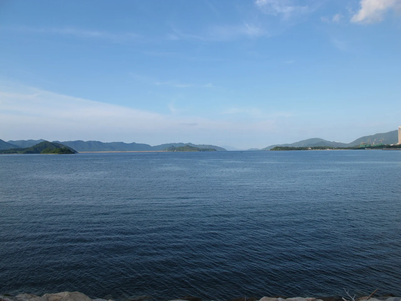

Tolo Harbour
Pearl hunters died in Tolo Harbour. That fact sits at the centre of this sheltered bay's history, a reminder that what looks today like a tranquil stretch of water between the New Territories hills was once an industrial extraction site that attracted the attention of kings. From the Han dynasty onward, the harbour's Chinese name — Tai Po Hoi — was synonymous with pearl production. Then, in the Five Dynasties and Ten Kingdoms period, the king of Southern Han renamed the bay Mei Chuen To and ordered an intensified cultivation drive. The pearl hunters who died in that push were not recorded by name. The oysters that disappeared by the Ming dynasty were not mourned in official documents. What remains is the harbour itself: sheltered, still, and substantially changed.
The Pearl Coast That Was
Pearl diving in Tolo Harbour was not a seasonal sideline. From the Han dynasty onwards it was a primary industry for Tai Po, the market town at the harbour's head, and the oysters that produced those pearls were abundant enough to sustain generations of divers. The work was dangerous — breath-hold diving in tidal waters, with currents and depth and the physical limits of human lungs — but the returns were significant enough to attract royal attention. When the king of Southern Han ordered intensified production during the Five Dynasties and Ten Kingdoms period, likely in the tenth century, the fatalities among pearl hunters climbed. The drive continued until the Ming dynasty, when the pearl oysters of Tolo Harbour were, by historical account, nearly extinct. It is one of the region's earliest documented cases of marine resource exhaustion — a story that the water tells without words.
Shape of the Harbour
Tolo Harbour opens to the northeast, sheltered from the South China Sea's full force by the hills of the Sai Kung Peninsula and the curving arms of its own geography. To the south, Tide Cove — also called Sha Tin Hoi — feeds into the harbour through the mouth of the Shing Mun River. To the east, Plover Cove, Three Fathoms Cove, and the Tolo Channel extend the water system further into the New Territories. Several islands break the harbour's surface: Ma Shi Chau, Centre Island, Yeung Chau, and Yim Tin Tsai are the main ones. Yuen Chau Tsai, once an island, is now attached to the mainland by a causeway — a small but concrete example of Hong Kong's long tradition of land reclamation reshaping coastal geography. The overall effect is of a bay that feels enclosed and protected, its hills reflected in water that moves slowly with the tide.
Rail, Road, and the Rhythm of the Shore
Tolo Harbour's western shore has carried two generations of infrastructure. The Kowloon–Canton Railway arrived in the 1910s, threading along the waterfront to connect the colony with the Chinese mainland at Lo Wu. Decades later, in the 1980s, the Tolo Highway was built parallel to the railway line, carrying motor traffic north from the urban sprawl of Sha Tin into the New Territories. Together these corridors turned the harbour's shore from a quiet transit route into one of Hong Kong's busiest arteries. The water itself, however, retained a different pace. Kaito ferries — the small, wooden-hulled vessels that have served Hong Kong's outlying islands and coastal villages for generations — still cross Tolo Harbour on several routes, connecting Ma Liu Shui to Tap Mun, Tung Ping Chau, Kat O, and Lai Chi Wo. For the villages they serve, the kaito is not nostalgia. It is still the most practical way to get home.
Water That Changed Everything
The development of Sha Tin New Town from the 1970s onwards transformed the southern end of the Tolo Harbour system more dramatically than any previous change. Land was reclaimed from Tide Cove — the shallow southern extension of the harbour — to provide the platform for what became one of Hong Kong's largest new towns. The Shing Mun River, which had meandered naturally into the bay, was channelised into a concrete corridor. What had been tidal mudflat became urban district. The harbour itself narrowed as its southern margins disappeared under fill. And yet the core of Tolo Harbour — the broad, hill-framed bay with its scatter of islands and its kaito routes — survived the transformation intact. Standing at the water's edge near Tai Mei Tuk or Ma Liu Shui today, the view across the harbour carries more continuity with the pearl-diving past than the skyline behind you might suggest.
From the Air
Tolo Harbour lies at approximately 22.447°N, 114.188°E in the northeast New Territories of Hong Kong. From the air at 2,000–4,000 feet, the harbour is unmistakable: a broad, roughly oval body of water enclosed by hills on three sides, with the narrower Tolo Channel extending northeast toward Tap Mun and the open sea. The Chinese University of Hong Kong campus sits prominently on the western shore near Ma Liu Shui. Sha Tin's dense urban grid is visible at the southern end where Tide Cove was reclaimed. Plover Cove Reservoir — the world's first offshore freshwater reservoir, and one of Hong Kong's largest — is visible to the northeast beyond the hills. The nearest airport is Hong Kong International Airport (VHHH), approximately 28 nautical miles to the southwest on Lantau Island.
Nearby Stories
- Chapel of St. Francis Xavier 3.5 km away
- Cuiheng 4.1 km away
- 2015 Shenzhen Landslide 16 km away
- Shunde 31 km away
- Wanshan Archipelago 37 km away
- Nanxiong Formation 96 km away
- Heyuan 149 km away
- Checheng Fu'an Temple 629 km away