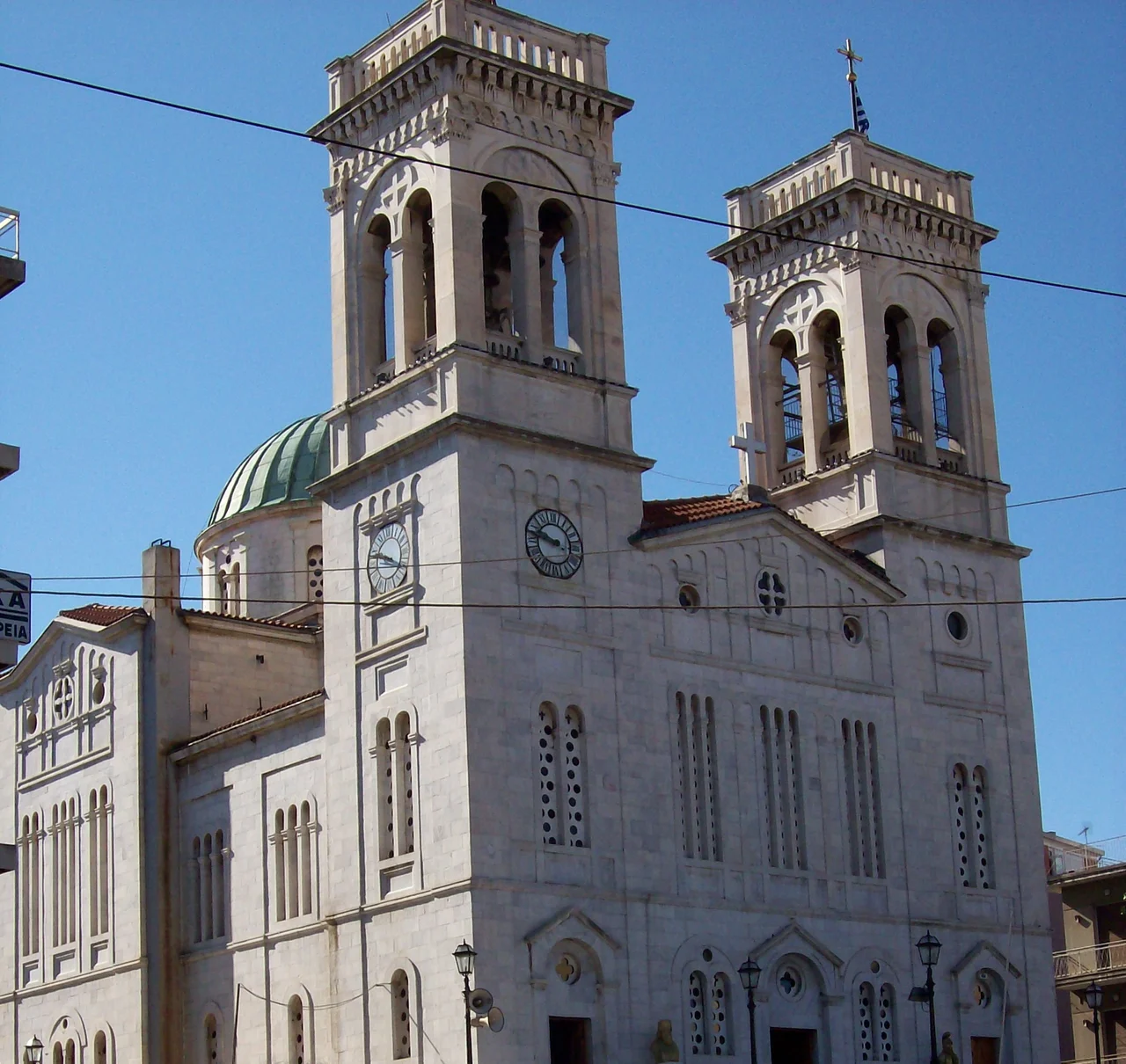

Tripoli (Greece)
Snow falls on Tripoli in winter — sometimes heavily, sometimes in thin skiffs that dust the olive-colored Mainalo range to the west and vanish by afternoon. It is not what most visitors expect from Greece, but Tripoli is an inland city, set on a plateau at roughly 650 meters above sea level, and that elevation gives it a climate that is decidedly its own: baking in summer, genuinely cold in winter, and brilliantly lit for most of the year. The surprise is part of what makes this place worth knowing.
Squares at the Center of Everything
Tripoli organizes itself around its central squares, and the squares organize the life of the wider region. The main streets running north through the city align with two large plazas — one named Kennedy, one named Georgiou B' (George II) — and the southern district runs along a street called Washington. The names are an artifact of postwar Greek politics, when such gestures toward the Western alliance were common. The squares themselves are older in spirit: wide, tree-lined, built for the kind of afternoon life where people sit outside for hours over a coffee and the city's news gets done face-to-face.
The courthouse on Areos Square, designed by the German-born architect Ernst Ziller in the neoclassical style that dominated official Greek building in the nineteenth century, still presides over the square with considerable authority. Ziller designed buildings across Greece during the period of the new Kingdom, and his Tripoli courthouse is one of his regional commissions — solid, columned, and self-consciously European. The archaeological museum nearby, also housed in a Ziller-designed neoclassical building, pulls in a different direction: inward, toward Arcadia's own deep past.
The Museum and What It Holds
The Archaeological Museum of Tripoli is the repository for finds from across the regional unit of Arcadia, and its collection spans an almost daunting chronological range. Neolithic and Early Helladic objects sit alongside Late Mycenaean material from Paleokastro of Gortyna; Geometric-period pottery from the cemeteries of Mantineia shares cases with Roman-era sculpture and reliefs. A collection of Early Helladic cult figurines from Sakovouni is noted as the only one of its kind in Greece — small fired clay figures that speak of religious practice before the Olympian gods were fully formed.
Also on display are findings from the fifteen-year excavation at the Villa of Herodes Atticus in Loukos Kynourias, the lavish country estate of the second-century Athenian magnate who was one of antiquity's great patrons of architecture. Arcadia, it turns out, was also his countryside.
For visitors with an interest in the Greek War of Independence, the War Museum on the central square of Agios Vassilios fills in the more recent past. Founded in February 2000, it holds weapons, swords, busts, and documents from 1821, including material associated with Theodoros Kolokotronis, the general who was born near Tripoli and whose bronze statue stands in the city.
Hub of the Peloponnese
Tripoli's position at the geographic center of the Peloponnese is not metaphorical — roads radiate from it to every corner of the peninsula. Corinth lies 75 km to the northeast. Kalamata is 65 km to the southwest. Sparti is 60 km to the south. The Moreas Motorway (A7) connects Athens through Corinth to Tripoli and then continues to Kalamata; the city is effectively the interchange where Peloponnesian travel converges.
This centrality is old. Under Ottoman administration, Tripoli — then known as Tripoliçe or Tripolitsa — served as the administrative capital of the Morea province, precisely because of its position in the middle of the peninsula. When the Greek state rebuilt the city in the nineteenth century, its function as a hub did not change; only the flags above the public buildings did. Today Tripoli is also home to the flagship campus of the University of the Peloponnese, established in 2000, which gives the city a younger, more varied population than its size might suggest.
Seasons and the Surrounding Land
The basin Tripoli sits in is a karst landscape — the Arcadian plateau drains not through rivers but through underground passages called ponors, and after heavy winter rains the low-lying areas to the southwest can flood into a temporary lake, Lake Taka, that appears and recedes with the season. The wider municipality, formed in 2011 from eight smaller units, includes the ancient plain of Mantineia, the highland village of Valtetsi, and the municipality of Tegea — a sweep of Arcadia that carries inside it most of the region's defining stories.
Asteras Tripoli, the local football club, plays in the Superleague — Greece's top tier — at the Theodoros Kolokotronis Stadium one kilometer southeast of the city center. On match days, the squares empty toward the ground. On ordinary days, the squares fill back up. This rhythm of dispersal and return is Tripoli in miniature: a city that empties outward into the Arcadian landscape and gathers itself back, regularly, around its coffee tables and its courts.
From the Air
Tripoli sits at 37.517°N, 22.383°E on the broad Arcadian plateau at approximately 650 meters elevation, clearly visible from the air as the largest urban area in the central Peloponnese. The flat polje basin makes the city easy to identify from altitude — a grid of streets surrounded by agricultural land, with the wooded Mainalo massif rising immediately to the northwest. Nearest major airport is LGKL (Kalamata International Airport), approximately 65 km to the southwest. From Kalamata, follow the valley northeast; Tripoli appears at the center of the plateau. The Moreas Motorway (A7) is a clear navigational reference running southwest to northeast across the basin.
Nearby Stories
- Araklovon Castle 4.8 km away
- Pellana 6.6 km away
- Arkadiko Bridge 10 km away
- Siege of Corinth (1463) 11 km away
- Leonidio 11 km away
- Kyparissia 11 km away
- Pheneus 14 km away
- Santameri Castle 29 km away