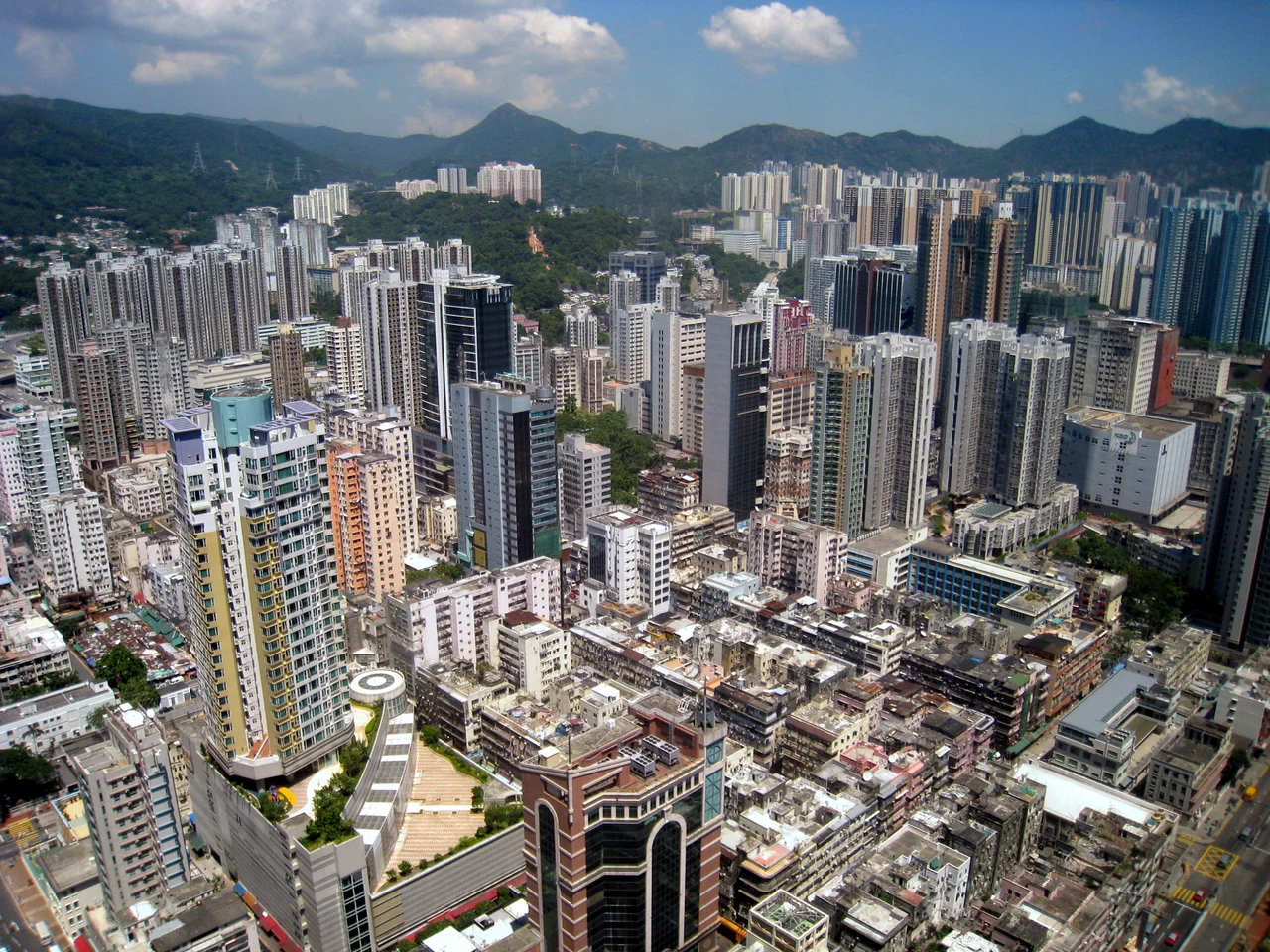

Tsuen Wan District
In the 18th century, farmers in the Shing Mun Valley fought pitched battles over pineapples. The tax levied on sales at the market downstream was the kind of grievance that could turn neighbours into enemies, and Tsuen Wan residents and valley dwellers clashed over it for years. That detail — stubborn, agricultural, specific — tells you something about the district. Tsuen Wan has never been simply a backdrop. Carved out as a formal administrative unit in 1982 and reshaped again when Kwai Chung and Tsing Yi split off in the mid-1980s to form Kwai Tsing District, it has always been a place with its own history and its own arguments.
An Unlikely Shape
Tsuen Wan District covers 62.61 square kilometres, but the map is deceptive. The main population lives in Tsuen Wan Town, squeezed between Pearl River-facing water and the green shoulders of Shing Mun Country Park. Yet the district also claims an exclave: the island of Ma Wan, the northeastern fringe of Lantau Island, and small outcrops including Tang Lung Chau. Then there is the matter of Hong Kong Disneyland Resort — technically within Tsuen Wan District's boundaries, though it spills into the neighbouring Islands District as well. The district's residents, concentrated in Tsuen Wan Town, report the highest household incomes in the New Territories, a prosperity built on decades of textile manufacturing and the long-term anchor of the Tsuen Wan line — one of the MTR's original rail corridors, with Tsuen Wan station at its western terminus.
Behind the Dam
Climb the ridge behind Tsuen Wan Town and the noise of the city drops away. The Shing Mun Reservoir fills a valley that was home to eight villages before the dam was built; the reservoir is held by the Po Lo Pa dam, whose name translates literally as Pineapple Dam — a quiet nod to the pineapple growers who once dominated the slopes. Trails in Shing Mun Country Park now wind past the ghosts of those settlements. Further up the same ridgeline, Tai Mo Shan rises to 957 metres, Hong Kong's highest point. On clear mornings, the view from the summit takes in the Pearl River estuary to the west and the South China Sea to the south. A disused lead mine sits on the valley floor below, where Tsuen Wan residents once worked — another layer in a landscape that reads differently the deeper you look.
The Village That Survived
In Tsuen Wan Town itself, the Sam Tung Uk Museum preserves a rare thing: a Hakka walled village that was not demolished during Hong Kong's postwar building surge. The village is approximately 200 years old. When MTR construction began in the area, the village was carefully restored rather than razed; it opened to the public in 1987. Inside, exhibits reconstruct traditional village life — the clan hall, the residential rows, the shared spaces that defined Hakka communal living. The contrast with the residential towers pressing in on every side is sharp. The museum does not pretend the tension isn't there. It is precisely that tension, between a preserved past and an expanding city, that gives the place its power.
Moving Through the District
Three MTR lines serve the district: the Tsuen Wan line, the Tuen Ma line (with its Tsuen Wan West station near the waterfront), and the Disneyland Resort line threading through northern Lantau. Dozens of bus routes supplement the rail network, operated mostly by Kowloon Motor Bus. Ferry services connect Ma Wan's Park Island to both Tsuen Wan Pier and Central. The geography of the district — a mainland town, an island exclave, an international theme park, and a mountain summit — demands exactly this kind of layered transport web. Each connection is a small acknowledgment that Tsuen Wan District is bigger and stranger than it first appears.
From the Air
Tsuen Wan District lies at approximately 22.36°N, 114.13°E on Hong Kong's western New Territories coast, directly northwest of Kowloon. At 3,000 feet, the flat industrial waterfront and the MTR depot at Tsuen Wan West are clearly visible against the harbour. The green spine of Shing Mun Country Park rises immediately inland. Tai Mo Shan (22.41°N, 114.12°E) is the dominant topographic feature — Hong Kong's highest point at 957 metres — and makes a reliable visual fix. The nearest major airport is Hong Kong International Airport (VHHH) on Lantau Island, roughly 12 nautical miles southwest. Ma Wan island and the Tsing Ma Bridge are visible landmarks connecting the district's exclave territory to the main land mass.
Nearby Stories
- Chapel of St. Francis Xavier 3.5 km away
- Cuiheng 4.1 km away
- 2015 Shenzhen Landslide 16 km away
- Shunde 31 km away
- Wanshan Archipelago 37 km away
- Nanxiong Formation 96 km away
- Heyuan 149 km away
- Checheng Fu'an Temple 629 km away