Urdesa
The streets of central Urdesa are named alphabetically after trees: Acacia, Balsamos, Cedros, Datiles, Ebano, Ficus, Guayacan, Higueras, Ilanes, Jiguas, Laureles, Mirtos. Twelve avenues, twelve species, laid out in 1956 when Guayaquil's city planners tried to build something the rest of Ecuador's tropical commercial capital did not yet have - a garden suburb on the Salado estuary, where the middle and upper classes could live among palm fronds and mango trees without fences hemming in their lawns. Walk those streets today and you'll find banks, shawarma counters, Iranian hookah bars, and a Lebanese population whose oldest families arrived before most of the houses did. Urdesa absorbed the world, one storefront at a time.
Neighborhood by the Estuary
The name is an acronym: Urbanizacion del Salado, the development by the Salado. The Salado is a tidal estuary branching off the Guayas River system that drains the whole south-central Ecuadorean Pacific coast through Guayaquil. In the 1950s the bank of the Salado was the northern edge of the city, open land at the city's outskirts, an address aspirational enough that developers could promise mansions with beautiful gardens and no fences at all. Residents took them up on it. The first villas went up quickly, and in 1958 the German School Guayaquil opened as the neighborhood's first school. It stayed for only a decade before moving further north to Los Ceibos as the city grew past Urdesa, but by then other institutions had already settled in.
The Disappearing Garden
Cities do not hold suburbs still. By the 1980s, Guayaquil was pushing so far north that Urdesa was no longer the edge but the center of gravity on the north side of town. Smaller middle-class houses filled in beside the original mansions. A new subdivision, North Urdesa, opened to the north with tighter lots and more modest homes. The old high-society status faded. In the 1990s, rising crime pushed families to build fences around the gardens that had once been fenceless, and the wealthier households began moving further out - to Samborondon across the river for the truly well-off, to Los Ceibos for the still-prosperous. The original urbanism experiment had worked, then outgrown itself.
Fences on the Sidewalk
By 1997 an unusual problem had emerged. Homeowners had extended their walls, garages, and fences farther and farther into the public right-of-way. Sidewalks in some blocks had been reduced to a few centimeters - too narrow to walk on. That year Mayor Leon Febres-Cordero, a former Ecuadorean president who had taken over Guayaquil's city hall, decided to fix it. He told the property owners they could move their fences back themselves, or his crews would do it for them. Most complied. The sidewalks returned to walkable width. The city then cobblestoned the main commercial avenues and planted the sidewalks with trees and flowers. On the side streets, visual clutter - large banners, garish signage - was banned outright. The compromise held: commerce on the main streets, residential quiet on the side ones.
The Avenue That Became Everything
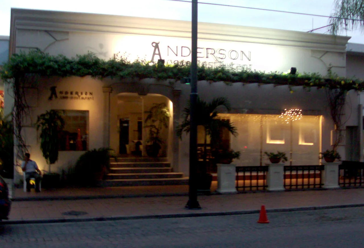
Victor Emilio Estrada Avenue is the spine of Urdesa and, in a way, of north Guayaquil. Banks, restaurants, pharmacies, car dealerships, retail chains, liquor stores, office buildings - the avenue carries everything, and the traffic that comes with it. For anyone traveling between Los Ceibos and downtown, or between the western neighborhoods and Samborondon, Urdesa is the route. The neighborhood has become, improbably, one of the most heavily trafficked districts in Ecuador's largest city. Old residents who remember the 1960s describe a garden; today's residents describe a commercial strip. Both descriptions are accurate for different parts of the same grid.
A Patchwork of Elsewhere
The most distinctive thing about Urdesa is who has ended up living there. Since the 1950s it has drawn immigrants - Lebanese, Turkish, German, and Italian merchants and businesspeople in the early decades, many of them upper-middle-class families who bought the original mansions. In the 1980s, Lebanese refugees from their country's civil war arrived and settled permanently. Today the neighborhood is home to Lebanese, Turkish, Indian, Chinese, Iranian, Russian, Afghan, Pakistani, Romanian, Iraqi, and Syrian families, many of the Syrians arrivals from the civil war that began in 2011. The commercial landscape reflects all of this: halal butchers, shawarma grills, Chinese supermarkets, Iranian hookah lounges, Indian spice shops. Walk six blocks on Estrada Avenue and you can eat in four cuisines without crossing the same door twice. Urdesa in 2026 is not the garden its planners drew. It's something stranger and, in many ways, more alive.
From the Air
Coordinates 2.17 S, 79.91 W, near sea level, in the northern center of Guayaquil, Ecuador's largest city. Urdesa sits along the Salado estuary, with the tree-named street grid running between Victor Emilio Estrada Avenue and Juan Tanca Marengo. From 3,000-5,000 feet the estuary channels are a distinctive brown-and-green feature cutting through the urban grid. Nearest airport is Jose Joaquin de Olmedo International (SEGU/GYE) a few kilometers south. Hot, humid tropical climate with a wet season December-May; visibility generally good but afternoon thunderstorms common.
Nearby Stories
- Guayas Province 20 km away
- Montañita 29 km away
- Santa Elena, Ecuador 39 km away
- 2023 Guayas earthquake 48 km away
- El Cajas National Park 50 km away
- Santiago de Bolivar 57 km away
- Alausí Canton 67 km away
- Department of Tumbes 158 km away