Alausí Canton
A canton, in Ecuadorian administrative geography, is the level between province and parish - the county-equivalent where ten small communities share a single mayor and a common identity. Alausí Canton spans 1,288 square kilometers of the central Ecuadorian Andes in Chimborazo Province, and within that space the elevation swings 2,100 meters. The lowest point, in the parish of Huigra, sits at 1,225 meters above sea level. The highest, in Achupallas, climbs to 3,340 meters. In between you find everything the Andes can offer in a single jurisdiction: cloud forest, farm terraces, páramo grassland, glacier-fed lakes, an Inca road, and a railway that descends a mountain so steep it took European engineers twelve kilometers to lose 500 meters of altitude.
Ten Parishes on the Backbone
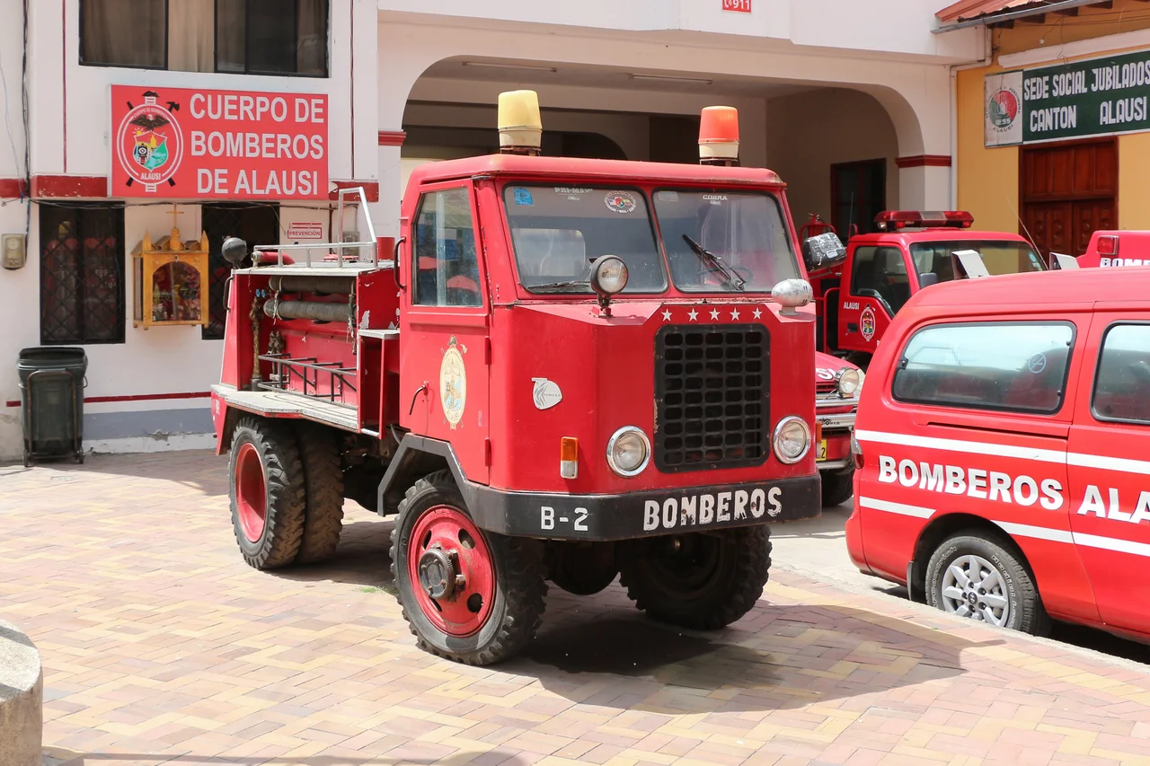
Alausí - officially San Pedro de Alausí - serves as the canton's urban seat, located 97 kilometers south of Riobamba at the foot of Cerro Gampala in the valley that holds the Chanchán River. Nine rural parishes surround it: Achupallas climbing toward the páramo, Guasuntos and Pumallacta in the middle elevations, Tixán and Sibambe along the railway line, Pistishi and Sevilla across the ridges, Huigra in the warmer lowlands where sugar cane replaces potatoes, and Multitud somewhere on the western edge. Together they hold about 37,000 people as of the 2022 census - a figure that has declined from roughly 64,000 at earlier counts, reflecting both outmigration and census methodology changes. Most residents live in small farming communities scattered through the rural parishes rather than in the urban seat. The growth rate through the 1990s was slow, around 0.8% annually, and many residents live in the rural valleys their families farmed long before the canton's boundaries were drawn.
The Chanchán and Its Tributaries
The main river of the canton, the Chanchán, rises in the moors of Atapo and gathers water from the Sibambe, the Lauma, the Blanco, and the Angas as it flows west. Eventually it joins the Chimbo to form the Yahuachi, which feeds into the Guayas and reaches the Pacific Ocean through the Gulf of Guayaquil. This is the plumbing of the region - and it explains why the canton's administrative shape looks the way it does. To the north rises the Nudo de Tío Cajas, a mountain knot separating Alausí from Riobamba's cantons. To the south, the Nudo del Azuay divides Chimborazo Province from Cañar. Eastward lies Macas and Sevilla de Oro. Westward, the land eventually drops to the coastal plains of Guayas Province. The canton sits, then, at a hydrographic hinge - the place where water decides whether to flow toward the Pacific directly through the coastal plains or carry onward via the Amazon-bound highlands.
The Ozogoche Lakes
High above Achupallas, in the páramo where the air thins and the grass turns silver, the Ozogoche lake system spreads across the mountains - more than thirty lagoons at around 3,800 meters elevation. The two largest are Magtayan, covering 2.19 square kilometers, and Ozogoche itself - also called Cubillina - at 5.25 square kilometers. These are not tourist lakes in the ordinary sense. The wind comes hard across their surfaces; the temperature stays cold year-round; the water holds the particular clarity that high-altitude glacial origin produces. Every September, during the Cuvivi phenomenon, thousands of migrating American golden plovers gather at the lakes. They fly in from North America, dive into the cold water, and many die there. Local communities have performed ceremonies around this mystery for centuries. No one has fully explained it. The park around Ozogoche has become one of Chimborazo's quieter natural attractions, far less visited than the canton's railway but perhaps stranger.
Huigra, the Railway Town
Drop down the mountain from Alausí and you reach Huigra, a parish at 1,225 meters where the climate softens and the architecture shifts. Here the Ecuadorian Railway's General Management once had its offices - substantial buildings from the early twentieth century, in the ornamented style that railway corporations favored. A monument to Eloy Alfaro, the president who pushed the railroad through against all engineering advice, was made by the Ecuadorian sculptor Carlos Mayer in Italy in 1929; it includes two effigies of the Harman brothers, Archer and John, the American engineers who oversaw construction. Huigra also contains the Grotto of the Virgin of Lourdes of the Immaculate Conception, where one of only two marble sculptures of the image exists - the other in Turin, Italy. For a small parish tucked in a valley most Ecuadorians have never visited, this is an unusual density of artifact.
A Canton of Paths
A section of the Inca road - the Qhapaq Ñan, the main communication channel of the Inca empire - crosses through the canton. It predates the Spanish conquest by several centuries and predates the railway by about four. Alausí Canton, viewed this way, is less a place than a corridor: the road of the Inca, the railway of the republic, the Pan-American Highway of the modern era - all threading through the same mountain valleys because geography allows only so many crossings. The Ministry of Tourism declared Alausí a Pueblo Mágico in 2019, acknowledging what locals had known for generations. The canton is harder to reach than most of Ecuador's tourist circuit, and that is part of its preservation. Come for the Devil's Nose train ride, but stay for the parishes - the cobbled streets of Guasuntos, the cold lakes above Achupallas, the old railway buildings of Huigra where clocks still keep time by schedules that no longer run.
From the Air
Coordinates: 2.20°S, 78.85°W. Canton spans roughly 1,288 sq km with elevations 1,225-3,340m. Recommended viewing altitude: FL220-FL300. Nearest airports: SERB (Riobamba - Chimborazo), SELT (Cuenca - Mariscal Lamar). Cerro Gampala rises over the urban center of Alausí; the Chanchán River canyon cuts west-southwest toward the coast. Ozogoche lakes visible as mirrored surfaces in the eastern páramo during clear weather. Best morning visibility October-February.
Nearby Stories
- Ingapirca 10 km away
- Sangay National Park 13 km away
- Babahoyo 15 km away
- Battle of Yaguachi 22 km away
- Santiago de Bolivar 27 km away
- Eastern Cordillera Real Montane Forests 43 km away
- 2023 Guayas earthquake 58 km away
- Cueva de los Tayos 69 km away