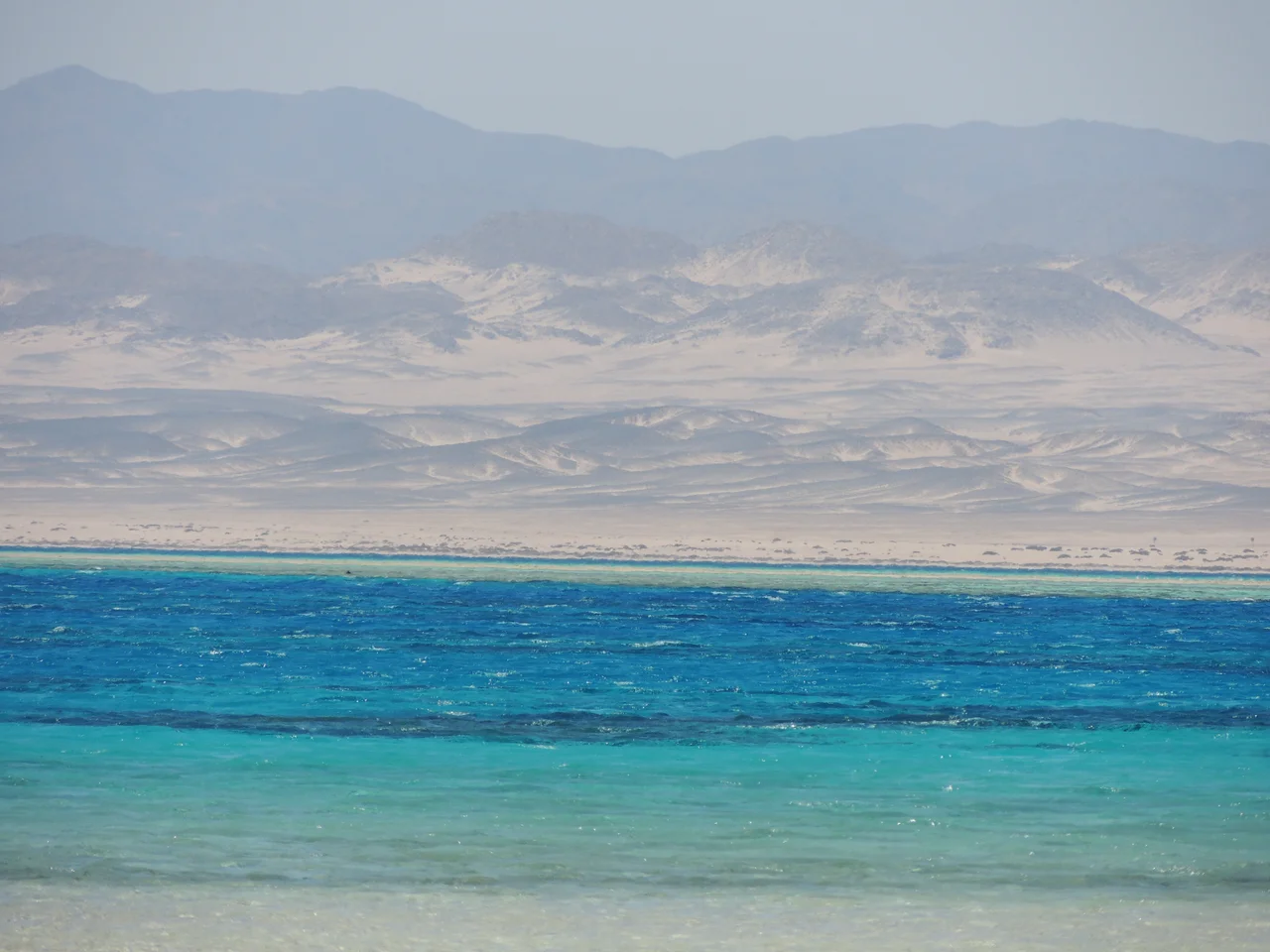

Wadi El Gemal National Park
Its name means the Valley of the Camels, and the camels are real, padding across the gravel plains with the Ababda herders who have read this desert for centuries. But the valley keeps a stranger secret in its mountains. Somewhere up in the rugged granite, the Romans dug for green crystals at a place they called Mons Smaragdus, the Emerald Mountain. For most of recorded history, until Spanish ships reached the New World, these were the only emerald mines anyone knew. Wadi El Gemal protects all of it at once: the mine shafts, the mangroves, the reefs, and the people who still call the desert home.
From the Reef to the Ridge
Declared a national park in 2003, Wadi El Gemal covers more than 7,450 square kilometers of the Red Sea Governorate, joining sea and desert in a single protected sweep. The land is mostly sand and stone, but it rises into the Red Sea Mountains, jagged basalt and granite cut through with sandstone, climbing to Gebel Hangaliya at 1,240 meters in the north and Gebel Hamata in the south. The shoreline tells a gentler story. Sandy and rocky beaches slope into the water, and in several places mangroves crowd the coast, their roots locking the sediment in place. This is the largest mangrove forest on the entire Red Sea, a green tangle in one of the driest landscapes on Earth.
The People of the Desert
The Ababda are one of Egypt's oldest desert peoples, and the park is part of their homeland, not a wilderness emptied of human life. They herd goats and camels and follow the sparse rain across the hills, living a life that remains partly nomadic to this day. Many also work as guides, and for good reason: knowing where water hides, which wadi leads through and which leads nowhere, is knowledge passed down through generations rather than printed on any map. Visitors who cross this desert do so in the company of Ababda drivers and trackers, and the park's existence depends on that partnership. The land and the people who have read it for centuries are protected together. Their long presence is part of what the park preserves, woven into the place as surely as the wadis and the wells.
Emerald Mountain
Hidden in the mountains at Sikait and Gebel Zabara lie the mines the Romans named Mons Smaragdus. Wadi Sikait still holds rock-cut temples and the ruins of miners' settlements carved into the cliffs, the remains of an industry that supplied the green gems prized across the Mediterranean. These were the western world's only known emerald source for well over a thousand years. The mines sat near the ancient Berenike Road, the desert highway that carried goods between the Red Sea port of Berenike and the Nile cities of Koptos and Apollonopolis Magna, modern Qift and Edfu. Watering stations and way-stops once dotted that route, fragile lifelines strung across an unforgiving land. To stand among the rock-cut ruins of Sikait today is to glimpse an industry that ran for centuries on the labor of miners working deep in the desert mountains, far from anywhere.
What Lives Here Now
The park shelters life adapted to scarcity. The endangered Nubian ibex picks across the cliffs, the Egyptian vulture rides the thermals, and the elusive Arabian sand cat and the threatened Egyptian tortoise survive on the margins. Offshore, the seagrass meadows feed two of the Red Sea's most fragile residents: the dugong, the gentle sea cow that grazes the shallows, and green turtles that come to feed and nest. Reaching the interior is no casual outing. The journey usually begins from Marsa Alam, about 80 kilometers from the main gate, and demands four-wheel-drive vehicles, ample fuel and water, spare tires, and a satellite phone. Motorcycles and quads are banned. There are no campsites; travelers sleep in tents or under the open sky, weighting them down against a wind that never quite stops.
From the Air
Wadi El Gemal National Park spans Egypt's southern Red Sea coast and Eastern Desert, centered near 24.35°N, 35.05°E, in the Red Sea Governorate. From the air the park is a study in contrast: jagged mountains (Gebel Hangaliya 1,240 m to the north, Gebel Hamata to the south) inland, gravel and sand plains between, and a coastline fringed with dark mangrove stands and offshore coral islands. The mouth of Wadi El Gemal meets the sea south of Marsa Alam. Nearest airport is Marsa Alam International (HEMA/RMF), about 80 km north of the main park entrance; Hurghada International (HEGN/HRG) lies roughly 400 km north. Recommended viewing altitude 4,000-8,000 ft for the mountain-to-mangrove gradient; clear skies and strong sun are the desert norm, with steady winds along the coast.
Nearby Stories
- Berenice Troglodytica 54 km away
- Zabargad Island 88 km away
- Nubian Museum 159 km away
- Aswan 160 km away
- Edfu 164 km away
- Halaib Triangle 209 km away
- Hierakonpolis 229 km away
- Al-Ula 329 km away