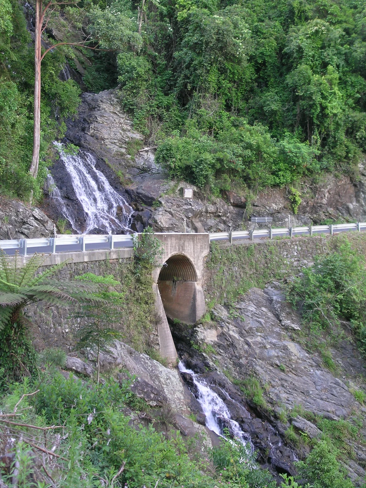

Waterfall Way
Few roads earn their name as plainly as this one. Set out from Armidale on the cool New England tablelands and the country starts to fall away beneath you: first the open granite high country, then the lip of the gorges, then the long, winding descent through rainforest toward the warm coast at Coffs Harbour. Strung along those 185 kilometres are some of the most dramatic waterfalls in New South Wales, plunging off the edge of the escarpment. Voted the number-one tourist drive in the state, Waterfall Way is less a road than a slow-motion fall to the sea.
The Edge of the Tablelands
Begin high and dry. Armidale sits on the New England tablelands, and the first stretch of Waterfall Way runs across open, elevated country where the air is thin and clear. The drama is hidden until you reach it. A short detour off the route leads to Wollomombi Falls in Oxley Wild Rivers National Park, where the river simply disappears over the rim of a vast gorge. The falls drop some 220 metres into the chasm and were once believed to be the highest in Australia, a place where the tableland abruptly reveals how far it has to fall to reach the sea.
Through Gondwana
As the road descends it passes through gorge country and into rainforest that is older than almost anything around it. Seven national parks lie on or near the route, and three of them are World Heritage-listed as part of the Gondwana Rainforests of Australia, surviving fragments of the forests that once covered the southern supercontinent. Near Ebor, the Guy Fawkes River pours over Ebor Falls in two tiers. Cathedral Rock National Park raises its great granite tors beside the road, and at Point Lookout in New England National Park the escarpment falls away in a single breathtaking sweep toward the coast.
The Plateau of Falling Water
The waterfalls that give the road its name cluster around Dorrigo, where a high, rain-soaked plateau sheds its water over the escarpment edge. Dorrigo National Park, another piece of World Heritage Gondwana rainforest, holds cascades like Crystal Shower Falls and Tristania Falls along its walking tracks, and its Skywalk reaches out over the canopy toward the sea. The town of Dorrigo, cool and green and one of the wettest places in the state, makes the natural pause point, the high green heart of the drive before the final descent.
Down to the Coast
West of the village of Thora the road tips into its most demanding section, a steep 14-kilometre run of tight bends as the tablelands give way to the coastal lowlands. Take it slowly. Overtaking is limited on the Dorrigo Range, kangaroos drift onto the road at dusk, and storms have been known to wash sections away entirely. The reward is the change you can feel in the air: cool mountain damp warming into coastal humidity, rainforest opening into riverside farmland around the artsy town of Bellingen, and finally the Pacific at Coffs Harbour. Allow two and a half hours of driving, then ignore that figure entirely, because the whole point is to stop at the falls.
From the Air
Waterfall Way runs roughly east to west between Coffs Harbour on the coast and Armidale on the tablelands; the Dorrigo midpoint sits near 30.39 degrees south, 152.74 degrees east at about 731 metres elevation. From the air the route traces the dramatic transition from high open tableland farmland, across the deep gorges of the escarpment, into the dark green band of Gondwana rainforest national parks, and down to the coastal plain and the Pacific. Recommended viewing altitude is 4,000 to 7,000 feet AGL to take in the full escarpment descent; expect cloud and turbulence over the ranges and frequent mist around Dorrigo, one of the wettest areas in New South Wales. Armidale Airport (YARM) serves the western end, Coffs Harbour Airport (YSCH) the eastern coastal end.
Nearby Stories
- Wollomombi Falls 29 km away
- South West Rocks Pilot Station Complex 43 km away
- Guy Fawkes River National Park 44 km away
- Glen Innes Showground 58 km away
- Angourie, New South Wales 65 km away
- Apsley Falls 68 km away
- Yamba, New South Wales 98 km away
- SS Elingamite: Gold, Fog, and a Captain Wrongly Blamed 1803 km away