Welkait
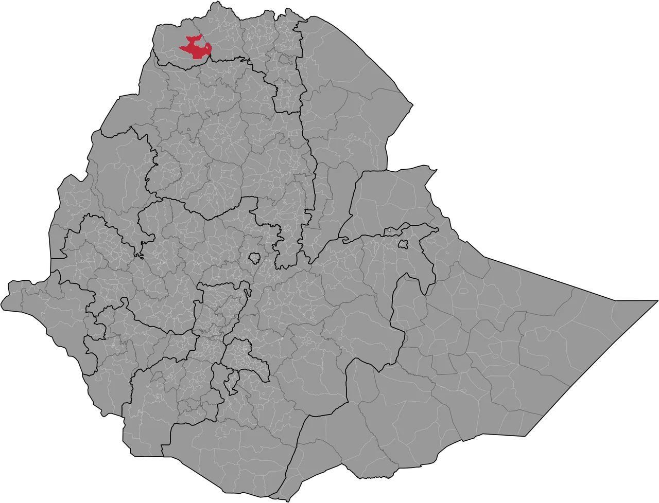
Before November 2020, the town of Addi Remets had shopkeepers whose signs were written in Tigrinya, a language whose script curls and loops across a page like music. Then militias came, and people fled east, and the signs were painted over in a different script, and most of the people whose names had hung above those doorways did not come home. This is the recent history of Welkait, a woreda in the Western Zone of Tigray that produces sugar, sesame, and sorghum on red earth between the Tekezé River and the Sudanese border. It has always been a strategic place. That has rarely been good for the people who live there.
A Contested Name
The toponym Welkait appears only in recent sources, and almost no one agrees on what it should mean or whom it should belong to. Archaeological evidence, including Muslim cemeteries, suggests that this lowland country was once home to non-Semitic speakers, possibly the Shanqella or the Agaw, and that before the fifteenth century it was governed by the Balaw or the Funj from the Nile Valley. In the mid-sixteenth century, according to local tradition, a Muslim queen named Ga'ewa ruled the area. A Belgian research team analyzing 574 place names recorded by the Italian ethnographer Giovanni Ellero in the 1930s found that almost all of them were Tigrinya in origin, with the word 'Addi' (village) appearing 229 times and 'May' (water) appearing 49 times. Ethnicity in Welkait has always been complicated. Its politics have often refused to admit that.
Kings, Exiles, and Rebels
In the seventeenth century, Welkait emerged as its own province under Dejazmach Ayana Egziy, a powerful governor whose friendship with Emperor Iyasu I gave the district a rare period of stability. Ayana Egziy protected three Capuchin friars sent by Emperor Yostos, though in 1716 a less tolerant emperor, Dawit III, had the friars brought to Gondar and stoned to death. The large stone ruins near today's May Gaba, built in the Gondarine architectural style, may be what remains of their mission. Ayana Egziy was himself murdered in 1731 by a rival. For the next two centuries, Welkait was a prize that passed among feuding dejazmaches, emperors, and rebellious local rulers, including the 1860s rebel Téso Gobeze, who was killed in battle by Wagshum Gobeze before Emperor Yohannes IV claimed the district in 1873.
An Administrative Weapon
In 1944, Emperor Haile Selassie transferred Welkait from its traditional place within Tigrayan administrative geography and attached it to Begemder. This was punishment. The Tigrayan peasant uprising known as the first Woyane had challenged his drive to centralize power in Shewa, and redrawing provincial lines was one way to break Tigrayan cohesion. After the Derg fell in 1991 and the TPLF came to power, the district was reincorporated into the Tigray Region on the grounds that it had always been ethnically Tigrayan. The 2007 census recorded a population of 138,926 in Welkait, with Tigrinya spoken as a first language by 97.14 percent of residents. Not everyone accepted that characterization. The question of who had really lived in Welkait before the twentieth-century administrative shuffling remained politically explosive.
November 2020
When the Tigray War began in November 2020, Amhara regional militias and federal forces seized the Western Zone. The Tigrayan inhabitants of Welkait, of the town of Humera, of Addi Remets and Dansha, were pushed out. Human Rights Watch and Amnesty International would later document the campaign as crimes against humanity and ethnic cleansing. French researcher Mehdi Labzaé, who interviewed perpetrators for his study of Amhara nationalism, concluded that 'the intentional targeting of civilians served the purpose of freeing land for occupying Amhara forces.' The Transitional Government of Tigray claimed that more than 700,000 Tigrayans had been displaced; Amhara regional officials disputed the figure as too high. Five years later, the Western Zone remained under Amhara administration. Most of the Tigrayan families who fled had not returned.
What the Ground Remembers
The land itself continues as it did before. The Ethiopian Sugar Corporation is still building its sugar mill on the red plains. In 2020, the old Welkait woreda was subdivided into smaller administrative units, including Welkait proper, Awra, Korarit, and May Gaba town, a reorganization that reflected both growing population and ongoing political contestation. Farmers still work the fields. The Tekezé still cuts its gorge to the east, a natural border that has determined the district's shape for as long as anyone has written its history. The place names Ellero recorded in the 1930s still cling to hills and springs and villages. Whether the people who spoke those names will return to them is a question that the peace agreement did not answer.
From the Air
Coordinates: 13.75°N, 37.33°E. The Tekezé River gorge defines the eastern boundary and provides the most striking terrain feature from altitude. Sudan lies immediately west. Recommended viewing altitude: 8,000-12,000 feet AGL. Nearest airport: Humera Airport (HUEA) to the north. Expect hot, hazy conditions most of the year; visibility improves after the kiremt rains end in September.
Nearby Stories
- Simien National Park 41 km away
- Eritrea-Sudan Border 44 km away
- Dedebit Elementary School airstrike 53 km away
- Simien Mountains 62 km away
- Church of Our Lady Mary of Zion 81 km away
- Ethiopian Empire 103 km away
- Northern front, East Africa, 1940 156 km away
- El-Gadarif 167 km away