Wetsinge
Groot Wetsinge has fewer houses than Klein Wetsinge, which is confusing until you learn that groot here doesn't mean big. It means high. The qualifier refers not to population or footprint but to elevation - and in a province where the elevation of anything is measured in single meters, the distinction matters. Groot Wetsinge sits on a wierde, one of the artificial mounds the early inhabitants of Groningen heaped up to keep their farms above the periodic flooding of the Wadden marshes. Klein Wetsinge sits on the flat ground halfway to the next village over. Two settlements, less than half a kilometer apart, distinguished by a few meters of stacked earth and twenty-three centuries of patience.
Twenty-Three Centuries on the Same Mound
Excavations have dated the first occupation of Groot Wetsinge to the third century BC. People have been living on this mound ever since - through the Roman Empire's brief reach into the Low Countries, through the conversion to Christianity, through the medieval rise and fall of the Frisian chieftains, through the Eighty Years' War, through the Dutch Republic, through Napoleon, through two world wars, through the great mid-twentieth-century agricultural consolidations. The mound itself is part of a cluster of wierden running along the eastern bank of the old Hunze river, each one supporting its own small village, each one originally raised by people who knew the tide was coming back. Among the finds pulled out of Groot Wetsinge's earth was an oil lamp from the first century BC - a small, fired-clay object designed to hold a wick and burn animal fat, lighting a single room two thousand years ago on the same patch of ground where someone is probably watching television tonight.
Onsta Country
Wetsinge belonged to the territory of the Onsta family, the Groningen chieftains - hoofdelingen, in the old Frisian sense - whose power extended across a string of borgs and parishes north of the city of Groningen. The Onstas built the Onstaborg, a fortified manor house, just northeast of Wetsinge. They held court, they collected dues, they made war on the city and were sacked in return. The family pattern repeats across the rural Groningen of the late Middle Ages: small noble houses with Frisian roots, controlling a parish or two, maintaining their independence against the merchant power of the provincial capital until the consolidation of the Dutch Republic finally folded them into a more centralized order. Wetsinge was one of the parishes they kept the longest.
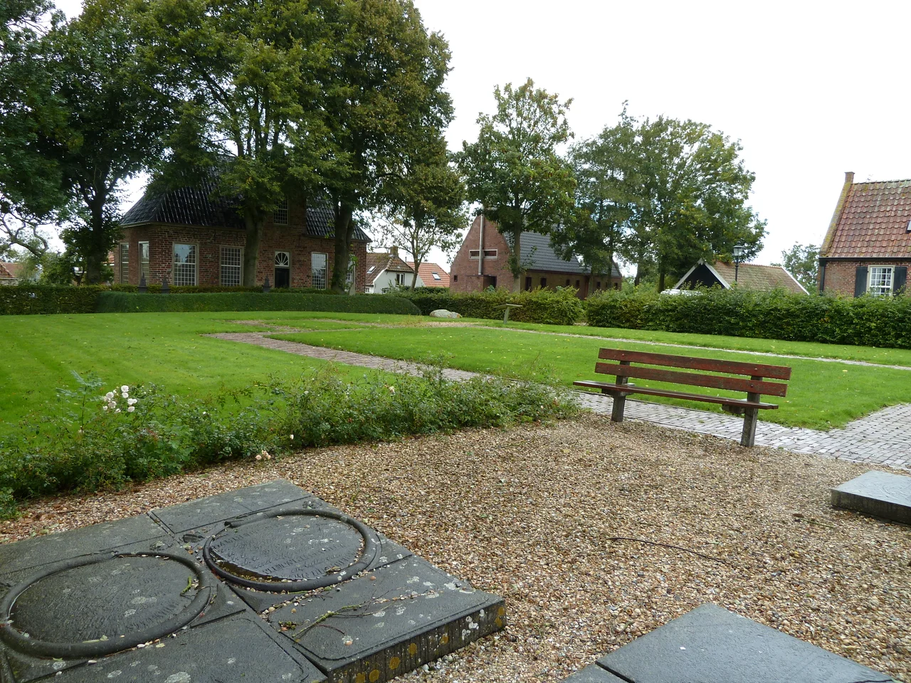
The Vanished Church
The original church of Wetsinge was an aisleless building going back, by some accounts, to the eleventh or twelfth century. By the early nineteenth century it had fallen into serious disrepair. In 1840 it was demolished along with the church of nearby Sauwerd, and the parish replaced both with a single new church built on the flat ground halfway between the two villages. That patch of in-between ground promptly acquired its own name - Klein Wetsinge - because the church gave it one. The new building wears a simple neoclassical facade and inherited its bell, dated 1609, from the older Sauwerd church. The pulpit probably came from the same place. Of the original Wetsinge church on the mound, only the contour in the grass remains. Walk the top of the wierde today and you can read the missing footprint, a faint rectangle of slightly different turf where stone foundations used to be.
A Clock Tower with No Foundation
For about four centuries Groot Wetsinge had a detached gothic clock tower, built southeast of the church sometime in the thirteenth or fourteenth century. It appears clearly on the 1643 or 1644 map of Joannes Baptista Regemortes, a sturdy stand-alone tower in the manner that became briefly fashionable in medieval Groningen. The clay underneath was firm enough that the builders skipped foundations entirely - the tower simply sat on the surface, its weight distributed across the wierde itself. Shortly after 1645 the tower was demolished, and because there were no foundations to mark its outline, no archaeological trace remains. Between 1616 and 1630 a different tower had already been built on the west side of the church to take its place. The freestanding gothic original simply vanished, leaving its image only in the survey map of a Flemish cartographer who passed through and recorded what he saw.
From the Air
Wetsinge sits at 53.30 north, 6.53 east, on the flat polder land between Groningen city and the Wadden Sea coast. The wierde of Groot Wetsinge is a subtle bump from altitude; the church between Wetsinge and Sauwerd is more visible. Nearest airport is Groningen Airport Eelde (EHGG), about 15 km southwest. Recommended viewing altitude 2,000 to 3,500 feet AGL.
Nearby Stories
- Spinnenkop Wedderveer 2.5 km away
- Miedenmolen, Holwerd 3.9 km away
- Tynaarlo 6.4 km away
- Groothusen 9.7 km away
- Prinses Margriet Canal 10 km away
- Norderney 13 km away
- Schule am Meer 31 km away
- Gemini Wind Farm 47 km away