Tynaarlo
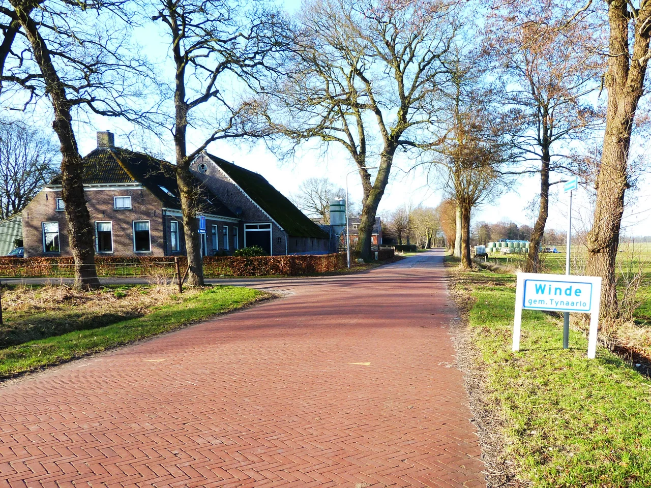
Every village here is built around a green. The Dutch word is brink, an old grazing common where the cattle came in at night and the community came out by day, and Tynaarlo is a municipality full of brinkdorpen - settlements that grew up around these shared spaces over centuries of slow accumulation. Zuidlaren, Eelde-Paterswolde, Vries, and a dozen smaller hamlets all share this template. So does the place that gave the municipality its name, the modest village of Tynaarlo itself, sitting almost forgotten in the middle of a region that quietly contains some of the oldest human monuments in Europe.
Between Two Cities
Tynaarlo is geography's middle child. The provincial capital Assen lies fifteen minutes south. The bustling university city of Groningen sits ten minutes north. The A28 motorway slices through the municipality top to bottom, carrying commuters to one or the other every weekday morning. About 34,000 people live in the territory between, and most of them work somewhere else. This sounds like a recipe for nowhere-ness, but Tynaarlo has dodged that fate. The villages have kept their shape. The countryside has kept its quiet. Even with the city lights of Groningen visible on the horizon at night, you can stand on a brink in Vries and hear nothing but wind and the occasional cyclist's bell.
Older Than Memory
The eastern edge of the municipality bleeds into the Drentsche Aa National Park, one of the last truly wild river valleys in the Netherlands. Hidden in the heath and woodland here are hunebedden - megalithic tombs built by the Funnelbeaker people more than five thousand years ago, when this part of Europe was being shaped by Neolithic farmers who left almost no other trace of themselves. The stones are massive, dragged here from glacial deposits, fitted into chambers without mortar or metal tools. They have outlasted every kingdom that has ever ruled this ground. Children climb on them. Hikers picnic beside them. There is no fence, no admission fee, just the dolmens standing in clearings as they have stood for fifty centuries.
Lakes and the Pieterpad
Tynaarlo touches two of the north's most loved lakes. The Paterswoldsemeer spreads its western shore here; the Zuidlaardermeer dips its southern tip in. Both fill with sailboats and kayaks each summer, lined with swimming spots and small marinas where children learn to handle a tiller. The most famous long-distance walking route in the Netherlands, the Pieterpad, runs straight through the municipality - stage three of the trail ends in Zuidlaren, stage four picks up there and heads south. Walkers passing through tend to remember Tynaarlo for the texture of the path itself: hedgerows, oak avenues, fields edged with old beech, the kind of slow countryside that rewards a five-hundred-kilometer pilgrimage.
A Surprising Airport
Within the municipality, somewhat improbably, sits an international airport. Groningen Airport Eelde is small by any reasonable standard - a single 2,500-metre runway, modest terminal, and a schedule of seasonal and year-round flights to destinations including Gran Canaria and Crete, with summer charters reaching other Mediterranean and Atlantic holiday destinations. It feels like a regional airfield with ambitions, which is exactly what it is. For travelers, it offers something most international airports cannot: a five-minute drive to genuine countryside, where the loudest noise is birdsong and the local cafe still closes for lunch.
The Map and the Memory
Tynaarlo is one of those Dutch places that does not announce itself. There is no famous battle here, no signature dish, no name on the cover of any guidebook. What there is - and what people who live here understand - is a particular kind of arrangement between landscape and habitation that has worked for a very long time. Brinkdorpen and dolmens and brink-grazed cattle and lakeside sails and forest walks: a slow inventory of how a region keeps itself together. The bus from Groningen runs every hour. The cyclists know all the back roads. The municipality, named for its smallest village, holds the whole thing lightly in place.
From the Air
The municipality of Tynaarlo centers around 53.08 N, 6.60 E, between Groningen city to the north and Assen to the south in Drenthe province. Cruise at 1,500-3,000 feet to take in the patchwork of brinkdorpen scattered across farmland and the dark fingers of the Drentsche Aa river valley to the east. Look for the two main lakes - Paterswoldsemeer to the northwest and Zuidlaardermeer to the northeast - both visible as bright surfaces in clear weather. The airport itself, Groningen Airport Eelde (EHGG), sits inside the municipality at 53.12 N, 6.58 E with a single 2,500 m runway oriented 05/23. Class D airspace surrounds the airport; the rest of Tynaarlo is Class G. Watch for inbound traffic on the standard arrival routes from the south and west.
Nearby Stories
- Hoogeveen 3.2 km away
- Onstwedde 4.2 km away
- Wetsinge 4.7 km away
- Abe Lenstra Stadion 5.2 km away
- De Zwaluw, Burdaard 7.4 km away
- Dollart 8.7 km away
- Twist, Germany 11 km away
- IJssel 19 km away