
Willandra National Park
Out here, a tennis court is a statement. So is a croquet lawn, an orchard, and a 26-room weatherboard homestead laid out in a U around a shaded central courtyard. None of it belongs to this country. The plains around Willandra are flat to the horizon in every direction, dry and dusty for most of the year, the kind of place where the only vertical lines are fence posts and the occasional black box tree. And yet here, on the bank of a creek that runs only when the Lachlan floods, somebody built an oasis. They could afford to. In 1931, the shearers at Willandra clipped 96,943 sheep.
The Empire of Wool
Big Willandra was once eight times the size of the national park that bears its name, a holding that stretched from Hillston north to Mossgiel across the Riverina plains. The partnership of Whittingham and Haynes settled it in the 1880s, and in 1886 the Whittingham brothers founded a Merino stud using Tasmanian bloodlines. Under the brothers Arthur and Frank Laird, who managed the property until 1927, Willandra became one of the most celebrated sheep studs in the country, its flock taking prize after prize at shows. At its peak the run covered some 436,000 acres. Wool was money, and Willandra had wool: the record 1931 shearing produced 3,243 bales. The homestead, completed in 1918 to a design by the Victorian firm Laird and Buchan, was the kind of house that profit on that scale could build in the middle of nowhere.
When the Wool Ran Out
Even great stations decline. High wool prices in the 1950s could not reverse what drought and shrinking margins had set in motion after the Second World War. The property changed hands and shrank: the New Zealand and Australian Land Company bought it in 1960, by which point it had fallen to 178,055 acres. Dalgety took it on in 1969 but declined to renew the pastoral leases when they expired in 1971. The New South Wales government resumed the Crown land and gazetted Willandra National Park in 1972. The sheep empire was over. What survived was the homestead, the shearers' quarters, the woolshed, and the strange spectacle of a manicured colonial estate slowly being handed back to the saltbush.
A House Restored
By the late twentieth century the buildings were fading, and a major restoration program in the 1990s brought them back. Today the homestead and outbuildings are heritage-listed, and travellers can sleep in the rooms where a pastoral dynasty once lived: the main house, the men's quarters near the shearing precinct whose quarters and cookhouse date from 1936, the rebuilt woolshed from 1960. To stay here is to occupy a working memory of Australian wool culture, a way of life that built fortunes and broke them on the same dry plains. The croquet lawn is gone to grass now, but the bones of the oasis remain.
The Plains Reclaim Their Own
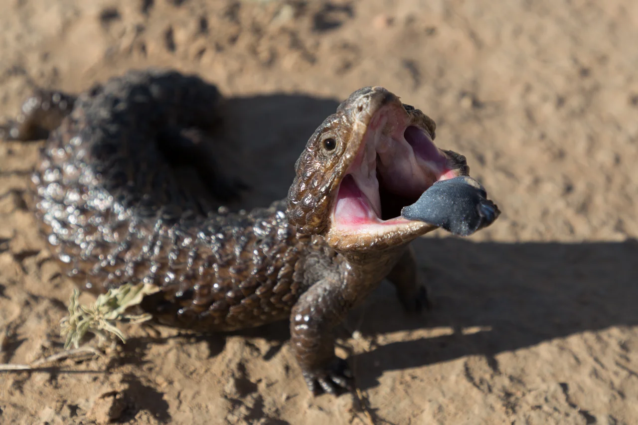
Strip away the homestead and Willandra is grassland, treeless except along the watercourses and around the shallow depressions that fill and dry with the seasons. A century of grazing reshaped the plains; saltbush and native grasses that once dominated have been altered, and the park makes no pretense of being pristine. But it remains vital habitat. Emus stalk the open ground. Red and grey kangaroos graze at dusk. Echidnas shuffle through the leaf litter, and goannas bask on warm earth. Most precious of all is the plains-wanderer, a small, quail-like bird so endangered that this kind of sparse native grassland is among its last refuges. It is a creature easy to overlook and impossible to replace, and the flat country that the wool men once measured in acres of fleece is now measured, in part, by whether it can still keep this bird alive.
From the Air
Willandra National Park sits at approximately 33.50 degrees south, 145.50 degrees east, on the flat Riverina plains roughly 580 km west of Sydney and around 65 km north of Hillston. From the air the park reads as a vast tan-and-olive grassland, threaded by the sinuous, tree-lined channel of Willandra Creek (a Lachlan distributary) and broken by the homestead's cluster of buildings and dark green plantings - an unmistakable green dot in dry country. There are no significant relief features, so the creek line and homestead are the key visual landmarks. The nearest airfield is Hillston Airport (YHLS) to the south; the larger Cobar Airport (YCBA) lies well to the north. Best viewing is mid-morning light at 2,500-4,500 ft, when low sun rakes across the channel and outbuildings; visibility is typically excellent but summer afternoons bring heat haze and dust over the plains.
Nearby Stories
- Mossgiel 41 km away
- Mount Hope, New South Wales 52 km away
- Ivanhoe 62 km away
- Warangesda Aboriginal Mission 95 km away
- Nymagee 140 km away
- Echuca 265 km away
- Glenrowan, Victoria 311 km away
- Beechworth 328 km away