Wilrijk
The people of Wilrijk took the insult and made it into a parade. In 1895, after a contested town council election, the liberal party called the Catholic-voting villagers Geitekoppen - Goat Heads - because everyone in Wilrijk kept a goat behind the house for milk and meat. It was meant to wound. Within a generation it had become a title of honour. By 1965, when Wilrijk celebrated its 1,200th anniversary, the town organised a full Goat Parade with decorated carts, costumes, dancers, and goats as actual goats. It still happens every five years. The most recent edition, in 2025, ran with 1,500 costumed participants. Few places have turned a class slur into a public festival quite so completely.
Deep Time on the Bist
Long before there were goats, there were Celts. Excavations in Wilrijk uncovered a Celtic burial site dated to around 600 BCE - the oldest evidence of human settlement found anywhere in the Antwerp region. The triangular central square of Wilrijk, the Bist, traces the layout of a Frankish village from around 743 CE, the date a community here was first mentioned in writing. The name itself probably comes from the Gallo-Roman Villariacum, meaning 'part of the domain of a Roman villa' - evidence of which has been found in nearby Kontich. Most Antwerp districts can only claim a thousand years of recorded history. Wilrijk has rather more, layered into the soil of a single farming village that became, in slow stages, a suburb of a great port.
Little Castles of the Antwerp Rich
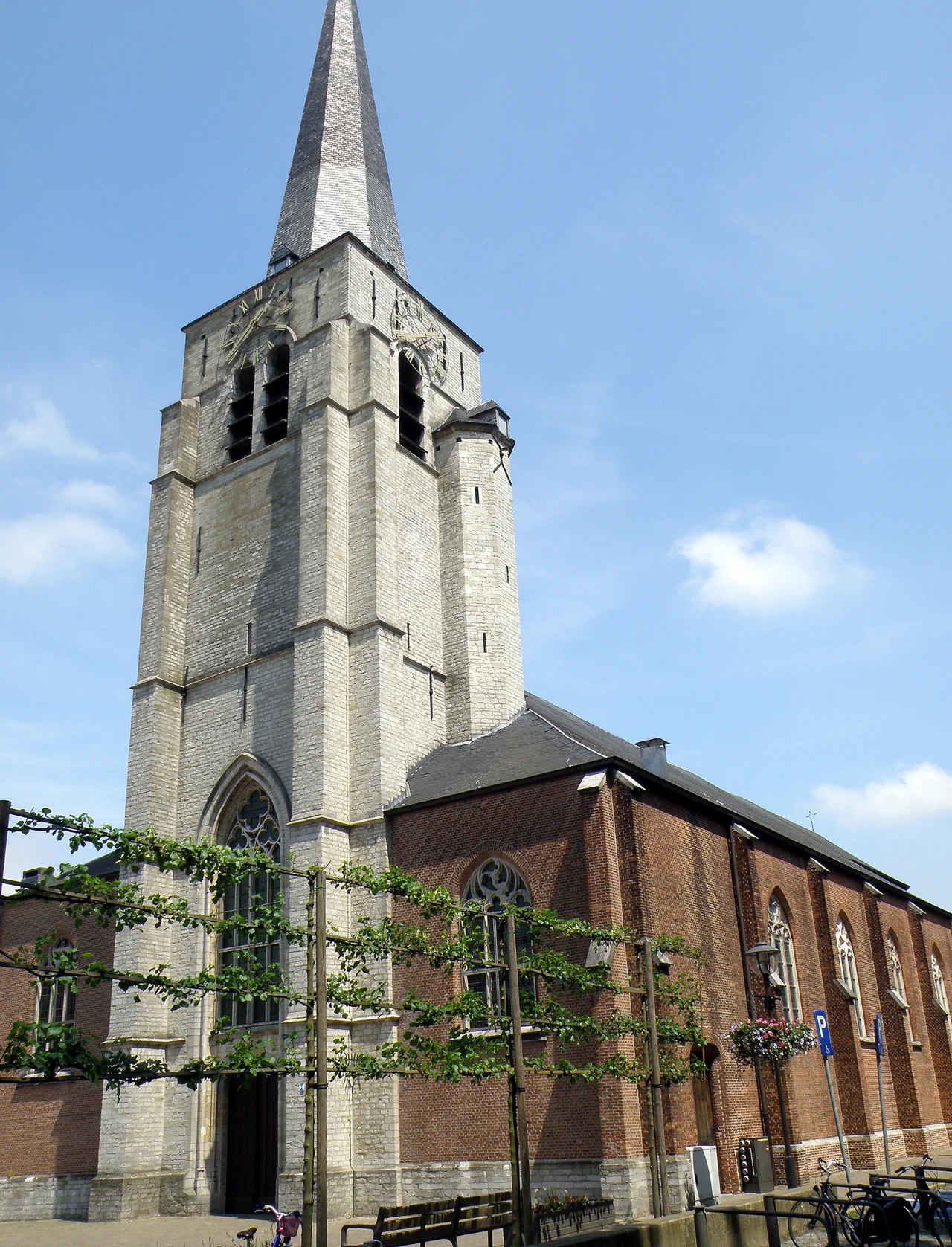
From the late fifteenth century, when Antwerp displaced Bruges as northern Europe's commercial capital, the city's prosperous families began building country houses - hoven van plaisantie, 'pleasure estates' - in the villages around it. Wilrijk became one of the favourite spots. A handful of these little castles still stand: Schoonselhof, Steytelinck, Middelheim, Hof Ter Beke. Others did not survive the centuries - Jezuietenhof, Ooievaarsnest, Korenbloem - though their names live on as Wilrijk street names and neighbourhood designations. On 30 November 1589 the village was burned to the ground by Geuzen raiders from Bergen op Zoom, part of the religious wars then convulsing the Low Countries. It took twenty years to rebuild, during which the inhabitants lived in wooden huts. Recovery, when it came, was slow.
The Forts That Brought the Trains
In the 1860s, as the new Kingdom of Belgium fortified Antwerp against potential French invasion, two of the famous outer-ring forts of the Antwerp redoubt - Fort 6 and Fort 7 - were built in the fields around Wilrijk. The forts brought roads, railways, even a station, and tied the agricultural village to the industrial city in ways it had not been tied before. Population began to grow: 1,660 inhabitants in 1810, 2,275 in 1840, 3,553 in 1875, 6,243 by 1900. In 1873 mayor Jules Moretus saw the construction of a new town hall, designed by the provincial architect Eugeen Gife, which still serves as Wilrijk's district headquarters and was protected as a national monument in 1994. Then came the First World War, the long economic crawl of the 1920s, and the V-bomb attacks of 1944 that killed 71 civilians of Wilrijk under 65 separate strikes.
The Long Boy of the Cabbage Patch
Wilrijk's folkloric mascot is Lange Wapper, a mythical figure who appears across Flemish folk tales but whom Wilrijk claims as a native son. The story has Wapper born on the field of a farmer named Peer-January, between the Hoven van plaisantie of De Brandt and Middelheim. The farmer found what looked like a huge red cabbage growing among his vegetables, touched it, and discovered it was actually a newborn baby. He was too poor to keep the child, so an Antwerp family adopted him. The boy grew up to be a protector of the helpless. After saving an old woman from drowning he received a gift: the ability to make himself very tall or very small at will. He used the tall form mostly, and the name Lange Wapper - 'Long Wapper' - stuck. To settle the question of ownership once and for all, in 1964 Wilrijk staged a ceremony in which an eight-metre-tall giant in the form of Lange Wapper was baptised with beer by a visiting monk and made an honorary citizen of the district. The rivalry with central Antwerp over who owns the Long Boy continues.
Compressors and a Mosque
Modern Wilrijk is industrial in a way nineteenth-century farmers would have struggled to imagine. The Atlas Copco Airpower plant is the largest manufacturing facility for air compressors anywhere in the world; in 2005 it employed 2,300 people. Rizla, the cigarette-paper maker that is now part of Imperial Tobacco, produces 30 billion rolling papers a year from a Wilrijk site that employs 160. The Coca-Cola Company runs one of its three Belgian production and distribution centres here. IKEA has a 18,600-square-metre store in the same industrial corridor along the Boomsesteenweg, which was modernised in 1958 in time for the Brussels World's Fair. The University of Antwerp has its Drie Eiken campus in Wilrijk; the Jain community of Antwerp built its temple here; the Etz Chaim Yeshiva trains rabbis in a quiet street nearby. The 1920 Summer Olympics held its archery events in Wilrijk's Nachtegalen Park. Kim Clijsters trained at the Vlaamse Tennis Vereniging tennis school here in 1996, where she met the coach who would guide her to world number one. A village of goat-keepers became, over a century, all of these things at once.
From the Air
Wilrijk centres on 51.167°N, 4.383°E, about 5 km south of Antwerp's old town. Visible from the air: the long industrial corridor along the Boomsesteenweg (the A12 motorway), the geometric green of Nachtegalen Park, and the star-shaped remains of Forts 6 and 7 to the east. Antwerp International (EBAW) sits 4 km east, with approaches frequently routed over Wilrijk. Brussels (EBBR) is 40 km south. Best viewed at 1,500-3,000 ft.
Nearby Stories
- Roosendaal 5 km away
- Sabbinge Castle 5.7 km away
- Bouchout Castle 7.1 km away
- Campine 8.5 km away
- North Brabant 12 km away
- Egmont Castle 12 km away
- Battle of Halen 14 km away
- Reginald Warneford 22 km away