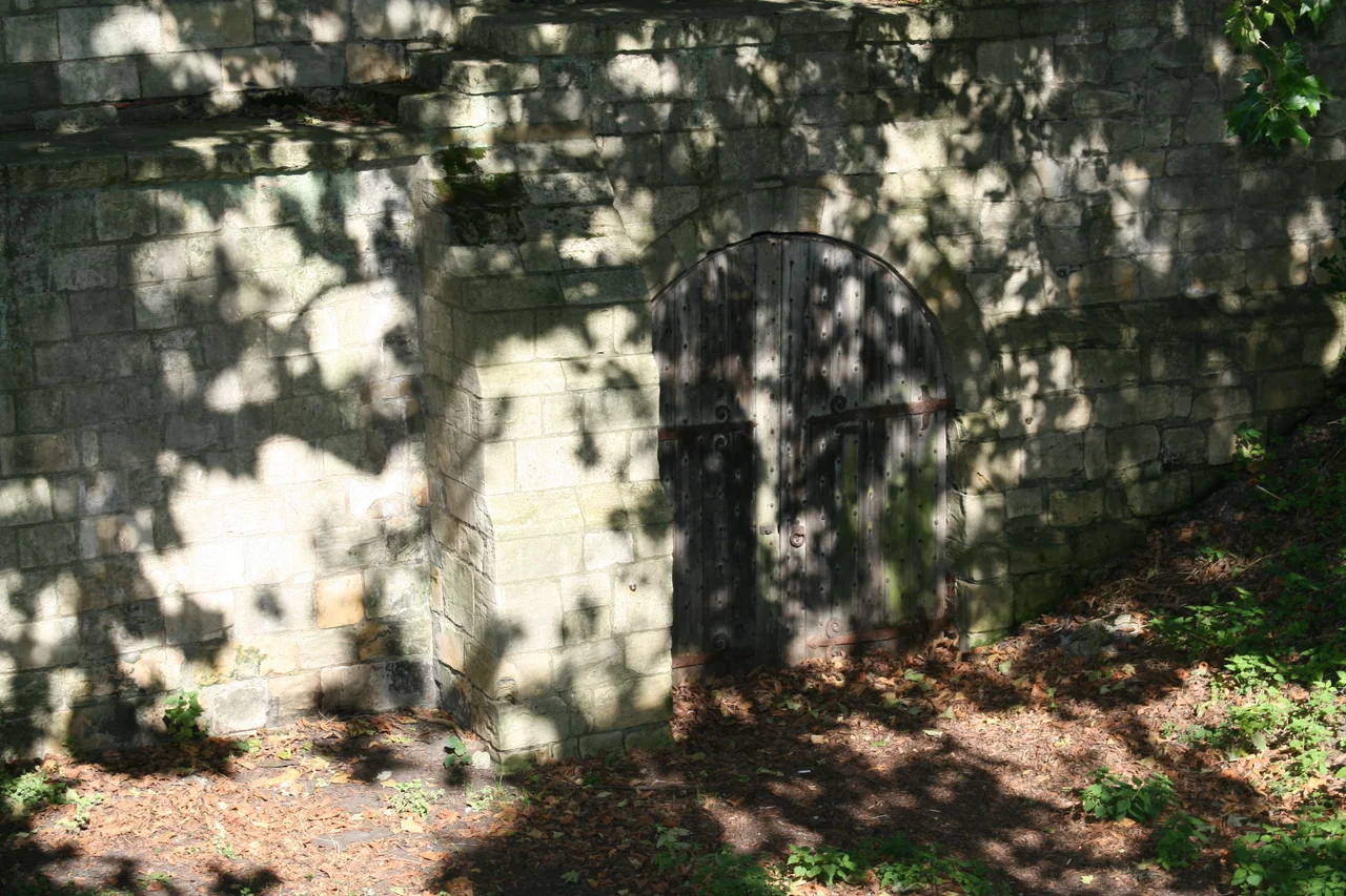

York city walls
On Micklegate Bar, the great western gatehouse of York, severed heads were displayed for centuries. Henry Hotspur Percy's head went up in 1403. Henry Scrope, 3rd Baron Scrope of Masham, joined him in 1415. Richard Plantagenet, 3rd Duke of York - the father of Edward IV - had his head spiked there in 1461. Thomas Percy, 7th Earl of Northumberland, was the last documented head, in 1572. By the time monarchs entering York through this gate began the tradition (started by Richard II in 1389) of touching the state sword as they passed under, they did so beneath a sometimes-occupied row of spikes.
Roman Foundations, Living Stones
Around AD 71, the Romans built a fortress here - 50 acres rectangle of legionary headquarters near the banks of the Ouse, walled for defence. About half of those Roman walls survive as foundations beneath the medieval walls you can walk today, the line still faithful to the rectangle drawn by Roman surveyors nineteen centuries ago. The most visible Roman remnant is the Multangular Tower in the Museum Gardens - a ten-sided tower of Constantine's era, built around 310-320 AD as part of a sequence of eight defensive towers along the river-facing wall. It stands almost 30 feet tall with a 48-foot diameter at the base, and the Roman stonework runs about halfway up before becoming medieval rebuild. The Danes occupied York in 867 and found the walls in poor repair; they demolished all the towers except the Multangular Tower and restored what was left.
Medieval Stone
The walls that encircle the whole of the medieval city date mostly from the 13th and 14th centuries. They are not continuous - there is a gap on the northeast side where the King's Fishpool, a swamp created by the Normans damming the River Foss, provided its own defence. The walls run from the east corner of the Roman fortress around to the Red Tower, then south and west around the Walmgate area, ending at Fishergate Postern near York Castle (which had its own moat and walls). Beyond the Ouse they continue: from Skeldergate past Baile Hill, north-west toward the railway station, then northeast to Barker Tower on the river. Barker Tower was once linked to Lendal Tower across the river by a chain - a boom that could be raised to stop boats. The walls are generally 13 feet high and 6 feet wide. Total length: about two miles. The longest town walls in England.
Four Bars
The walls are punctuated by four main gatehouses - bars in York's vocabulary. Bootham Bar, on the site of the Roman porta principalis dextra, has stonework from the 11th century at its base and was the last bar to lose its barbican (removed in 1835 for road widening). Monk Bar is four storeys tall, the most elaborate, designed as a self-contained fort where each floor could be defended separately. It still has its working portcullis. Walmgate Bar is the only English town gate that still has its barbican - the small fortified forecourt that once existed at every gate. Its inner gateway dates to the 12th century, and an Elizabethan house extends over the gateway, supported by columns of recycled Roman stone. Walmgate was bombarded by cannon during the 1644 Siege of York, repaired in 1648, and lived in until 1957. Micklegate Bar is the ceremonial entrance - the bar monarchs use - and the four-storey gatehouse blends 12th-century lower work and 14th-century upper. Two smaller bars (Fishergate and Victoria, the latter a 19th-century addition) plus several posterns complete the circuit.
The Civil War Scars
During the 1644 Siege of York, the Parliamentarians and Scots dug mines under the walls. They blew up Saint Mary's Tower at the northwest corner on 16 June - a disaster for the attackers, who lost 300 men when reinforcements failed to arrive and the Royalists trapped them at the breach. Walmgate Bar was bombarded by cannon from a battery on Lamel Hill. The cannon scars are still visible in the stonework if you know where to look. After the Civil War, the walls were repaired again during the Jacobite Risings - the early 18th-century fears of an invasion from Scotland - and then left mostly alone until the Victorians took an interest. The Victorian restoration was extensive: the wall-walk was widened (in some places there had probably never been a continuous walkway, just narrow ledges); merlons were rebuilt; and Robin Hood Tower was added entirely new in 1889. Today the walls are a scheduled ancient monument and a Grade I listed building.
Walking the Wall
You can walk almost the entire circuit. The path leaves the wall briefly at the King's Fishpool gap (where there are still no walls and never were), at the river crossings, and at a few demolished stretches. Allow two to three hours for the whole loop. The view from the northern walls, between Bootham Bar and Monk Bar, gives you York Minster framed by 13th-century stonework - probably the most photographed sight in the city. The Multangular Tower in Museum Gardens lets you put your hand on Roman stone laid by the Sixth Legion. The barbican of Walmgate Bar is the only place in England where you can stand inside a medieval town's complete outer gateway as it once existed. The displayed heads at Micklegate Bar are no longer there. Everything else is.
From the Air
York's city walls trace a roughly oval circuit around the medieval city centre, centred near 53.955°N, 1.081°W. From altitude the walls are unmistakable - a dark stone line ringing the inner city, broken only at the River Foss in the northeast and the Ouse crossings. The four main bars form pinch points at the cardinal compass directions. Leeds Bradford (EGNM) is about 22 nm southwest. The walled area encloses York Minster, the castle, and the medieval streets including The Shambles, all within a circle barely a mile across.
Nearby Stories
- Scampston Hall 3.5 km away
- Salts Mill 4.7 km away
- Newburgh Priory 6 km away
- Brodsworth Hall 6.2 km away
- Coverham Abbey 16 km away
- RAF Leconfield 17 km away
- Macclesfield Canal 27 km away
- RAF Scampton 35 km away