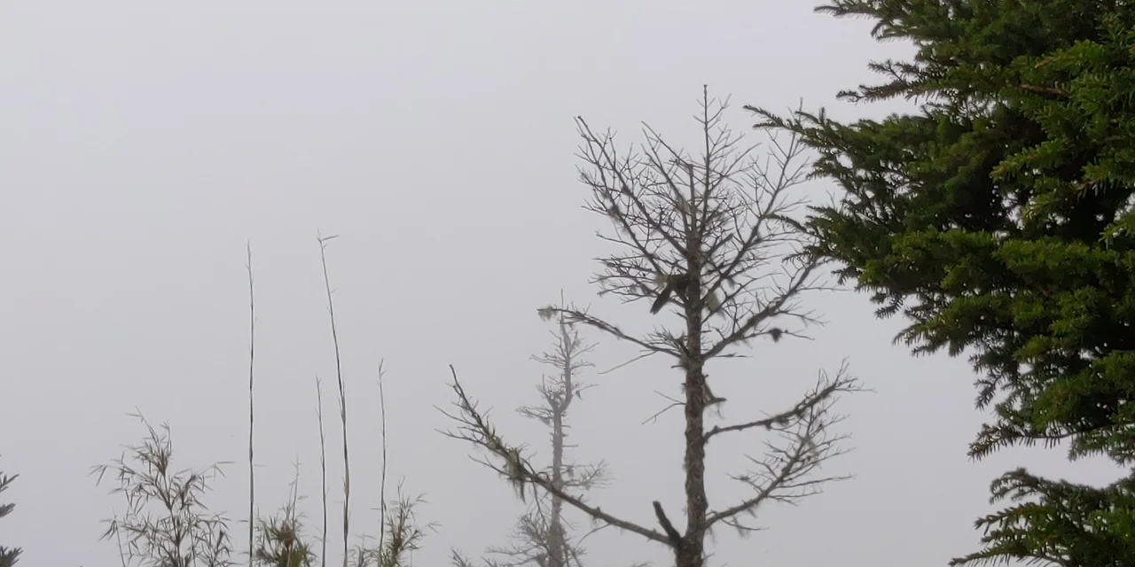

Yushan
Three peoples named this mountain, and none of them got it wrong. The Bunun, who have lived in these highlands for centuries, called it Tongku Saveq. Nineteenth-century European surveyors mapped it as Mt. Morrison, after a passing ship's captain. The Japanese colonial administration, arriving in 1895, renamed it Niitakayama — New High Mountain — because at 3,952 meters it was the tallest peak under imperial Japanese control, edging out even Fujisan. Today it is Yushan: Jade Mountain. Each name captures something real about this summit, but no single name captures everything.
The Roof of the Island
Stand at the summit of Yushan on a clear morning and you can look down on clouds. This is not a figure of speech — the sea of clouds, yúnhǎi in Chinese, fills the valleys below like a slow white ocean, erasing the lower world and leaving only peaks above the vapor. The main summit stands 3,952 meters above sea level, making it the highest point in Taiwan and a strong contender for the highest peak in East Asia outside of the continent proper, depending on how you draw those borders.
The mountain anchors the center of Yushan National Park, a protected expanse of overlapping ridges and plunging river gorges in the island's interior. The surrounding terrain is extreme: rivers cut canyons thousands of meters deep, butterfly migrations thread through valleys in spring, and the North Peak hosts the Yushan Weather Station, Taiwan's highest permanently occupied building. From the summit, 360 degrees of ridgelines radiate outward like a rumpled blanket thrown over the earth.
A Year of Weather
Yushan's climate does not encourage casual visits. Annual rainfall averages around 3,600 millimeters — more than twice London's annual total — with a hundred and forty rain days concentrated between May and August. May and early June bring the plum rains, the soft monsoon mist that soaks everything. July through September is typhoon season, with August the most dangerous month. Winter turns the upper slopes white: snow begins falling as early as October and may last until May, accumulating for four consecutive months above 3,000 meters.
Frost forms from September through April wherever wind can't sweep it away. The annual snowfall count — 24.3 days on average — sounds modest until you remember that this is Taiwan, a subtropical island where most residents live at sea level among palm trees and night markets. Yushan occupies a different climate zone entirely, one that could belong to the northern Japanese Alps or the southern Rockies.
The Climb
Most climbers approach via the Tataka Visitor Center at 2,600 meters, the standard entry point reached from Taichung or Chiayi through the mountains by highway. From there the main trail runs 8.5 kilometers to Paiyun Lodge at 3,402 meters — a long but not technically demanding walk, with clear distance markers every half-kilometer and interpretive signs explaining the geology and flora. The climb takes between four and eight hours depending on pace and fitness.
Paiyun Lodge is the night's lodging, the only place to sleep near the summit. Reservations are mandatory and beds are allocated by lottery one month in advance; competition is fierce, especially on weekends in summer. From the lodge, the final 2.4 kilometers to the peak climb more steeply, with the last 200 meters requiring careful footwork. But the reward — arriving at the summit for the dawn, watching the sky turn from black to purple to gold above the cloud sea — is, by any measure, worth the bureaucracy.
The Batongguan Trail
Yushan is not just a summit; it is a crossing point. The Batongguan Historic Trail, completed in 1875 by Qing dynasty forces attempting to control the island's interior, traverses the mountain's eastern flank. Climbers who descend via this route, rather than retracing their steps, encounter a series of waterfalls — including the Seven Threads Waterfall, which drops the mountain in seven distinct cascades, and the Yunlong Waterfall, which falls 50 meters over a stone cliff, crosses beneath a wooden bridge, and then drops another 70 meters. The trail ends by threading along the vertical face of Fuzi Cliff before dropping into the hot spring town of Tungpu, where the journey can conclude properly: with rest, heat, and a meal that requires no trail pack.
A Name Worth Earning
Climbing Yushan requires two permits: a park entry permit from the national park authorities and a mountain climbing permit from the police. Both must be obtained online. The process can take between seven and thirty-three days. Foreign visitors can sidestep the general lottery by applying through a separate international system, available four months to thirty-five days in advance — a window wide enough for careful planning.
The bureaucracy is not trivial. But neither is the mountain. When the Bunun people called this peak Tongku Saveq and built their calendar and cosmology around its seasonal rhythms, they understood something that the permits and lotteries and altitude warnings obscure: this is a mountain that asks something of you before it gives anything back. The asking is part of the experience. Jade Mountain does not pretend otherwise.
From the Air
Yushan sits at 23.47°N, 120.96°E in the rugged central mountains of Taiwan, 3,952 meters above sea level — the island's highest point and a dramatic navigation landmark. From the air, the summit complex appears as a serrated ridgeline rising sharply above lower terrain. Hualien Airport (RCYU) lies roughly 70 kilometers to the northeast on the eastern coast; Chiayi Airport (RCKU) is approximately 50 kilometers to the west on the coastal plain. Plan for significant terrain-induced turbulence and rapidly changing cloud layers in the range — the mountain generates its own weather, and the cloud sea can obscure the valley floors at any season. Recommended viewing altitude 5,500–6,000 meters for a clear overview of the full ridge system. The road corridors from Taichung and Chiayi are visible as pale threads cutting into the dark forest below.
Nearby Stories
- Kagi Shrine 12 km away
- Bunun Cultural Museum 13 km away
- 1999 Jiji Earthquake 14 km away
- Xiluo 15 km away
- Yujing District 16 km away
- 1951 East Rift Valley Earthquakes 20 km away
- 2021 Hualien Train Derailment 84 km away
- Mavulis Island 234 km away