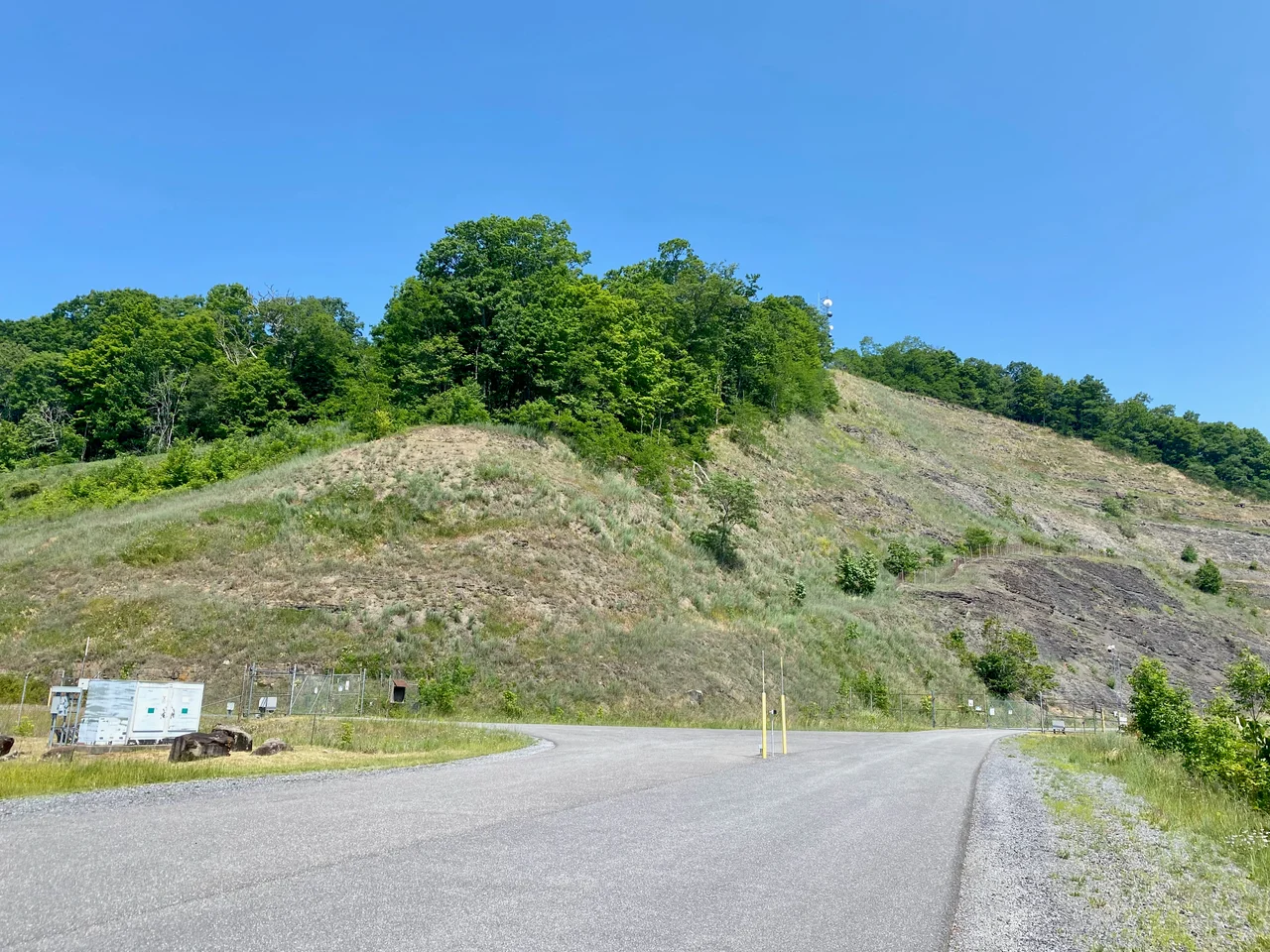

Bath County Pumped Storage Station
Hidden in the mountains of western Virginia is one of the most powerful pieces of machinery in the world: a 3,003-megawatt hydroelectric installation that has, for stretches of its career, been called the largest battery on the planet. It does not look like a battery. It looks like two reservoirs - one on top of a ridge, one in the valley below - connected by penstocks that drop more than 1,260 vertical feet through the mountain between them. When the eastern U.S. power grid needs electricity, water roars down the pipes through six massive turbines and the lights stay on. When the grid has electricity to spare, the same machines run in reverse, pumping water back up the mountain to wait for the next call.
How a Mountain Becomes a Battery
Pumped storage is conceptually simple and mechanically heroic. Two reservoirs, one higher than the other. When demand for electricity rises, you open the gates and let water from the upper reservoir fall through turbines into the lower reservoir, generating electricity. When demand falls, you reverse the turbines, using surplus electricity from coal, nuclear, or other generating plants to pump the water back up. The plant uses slightly more energy than it generates - the cycle is not 100 percent efficient, since pumps and turbines both lose some power to friction and heat. But the operation lets baseload coal and nuclear plants run at peak efficiency around the clock, smoothing the difference between peak and off-peak demand. It is, in effect, a giant time-shift for electricity. The original sources of Bath County's water - Back Creek and Little Back Creek - have relatively small natural flow rates, so once the reservoirs were filled, the only fresh water needed is to replace what evaporates.
The Numbers Are Hard to Picture
When the plant is generating power, water flows at up to 13.5 million gallons per minute - 850 cubic meters per second. When the plant is storing power, the flow runs the other way at up to 12.7 million gallons per minute. Six turbines, each rated at 500.5 megawatts of generation and 480 megawatts of pumping, run inside the underground powerhouse, which is itself a cavern blasted out of mountain bedrock. Voith and Siemens upgraded the turbines between 2004 and 2009, increasing capacity. The upper reservoir's water level can fluctuate by more than 105 feet during a full charge-discharge cycle; the lower reservoir's by about 60 feet. Total storage is 24,000 megawatt-hours - enough to power roughly two million American homes for an hour, or one million homes for two.
Built for the Grid
Construction began in 1977 and was completed in 1985, a project that took eight years and cost $1.6 billion. The original ownership was a partnership of Dominion Generation and what became FirstEnergy; today Dominion holds 60 percent and FirstEnergy holds 40 percent, with Dominion managing day-to-day operations. The plant feeds into PJM Interconnection, the regional transmission organization that coordinates the electric grid across all or parts of 13 states and the District of Columbia, from New Jersey to Illinois to Virginia to West Virginia. When PJM needs more megawatts on a hot July afternoon, Bath County is one of the resources it dispatches. The response time is fast - pumped-storage plants can go from zero to full power in a matter of minutes, which is essential for grid stability.
The Lakes That Were Not Lakes
The reservoirs are striking sights from the air. The upper reservoir sits behind a 460-foot-tall earth-and-rock fill dam at an elevation of about 3,321 feet above sea level. The lower reservoir is 1,260 feet below it. Together they store enough water to be visible from passing aircraft as twin alpine lakes, except that the water level changes dramatically with the cycle of charging and discharging. To create a fishery habitat downstream, a stocked stream was built below the lower dam. During droughts, the plant operators can supplement water flow with releases from nearby recreational reservoirs to maintain water quality in Back Creek. The biological side of the project has been carefully managed because the plant sits in one of the more ecologically sensitive areas of Bath County - upstream of the Cowpasture and Jackson River systems.
Renewables and the Pumped-Storage Renaissance
When Bath County was built in the 1980s, the design rationale was to let nuclear and coal baseload plants run efficiently overnight. That rationale has been overtaken by a different one. Wind and solar generation are intermittent - the sun does not shine at night, the wind does not always blow on demand. Pumped storage solves the same problem in a different way: when wind and solar generate surplus power, you store it in elevated water; when they go quiet, you let the water down. The Bath County plant has therefore become more valuable as the U.S. grid has decarbonized, even though it generates no electricity of its own. The 1985 design is still the largest pumped-storage installation in the United States, and one of the very largest in the world. The mountain that holds it does not look like much from the road. The machinery inside has, in some sense, been keeping the eastern United States lit for forty years.
From the Air
Located at 38.21 degrees north, 79.80 degrees west, in the mountains of northern Bath County, Virginia, between Warm Springs and Mountain Grove. The two reservoirs are visible from the air as twin lakes separated by about 1,260 feet of vertical and 1.5 miles horizontally. Best viewed from VFR altitudes of 6,500 to 9,500 feet AGL. The closest airport is Ingalls Field (KHSP) at Hot Springs about 13 nautical miles south, a high-elevation field at 3,793 feet MSL. Watch for mountain wave activity and rotor turbulence common in the Allegheny ridges. The facility is industrial infrastructure - be aware of any restricted airspace published in current NOTAMs.
Nearby Stories
- 2023 Virginia Cessna Citation Crash 4.1 km away
- Gypsy Hill Park 8.1 km away
- George Washington and Jefferson National Forests 8.8 km away
- Seebert Lane Colored School 10 km away
- Battle of Greenbrier River 13 km away
- Webster Sycamore 18 km away
- Battle of White Sulphur Springs 22 km away
- Virginia Military Institute 26 km away