
Blue Ridge Parkway
Groundbreaking happened in September 1935. The final section did not open until 1987 - the Linn Cove Viaduct around Grandfather Mountain in North Carolina, a quarter-mile of segmental concrete bridge so engineered around the mountainside that no tree had to be cut to build it. Fifty-two years of construction, two world wars, and shifting political eras separate those bookends. The Blue Ridge Parkway stretches 469 miles along the crest of the Blue Ridge Mountains through Virginia and North Carolina, connecting Shenandoah National Park at Milepost 0 with Great Smoky Mountains National Park at Milepost 469. About seventeen million people visit each year, making the Parkway the most-visited site in the entire National Park System - more than the Grand Canyon, more than Yellowstone, more than any of the famous places people travel across the country to see.
Built by Civilian Conservation Corps Hands
The Parkway was a Depression-era public works project, conceived as both a scenic road and a job program for thousands of unemployed Americans. Civilian Conservation Corps crews did much of the early construction - young men who lived in camps along the route, working with hand tools and basic machinery to cut a road into mountainsides that had never carried more than wagon paths. The CCC included segregated companies of Black workers who built many of the same structures, lodges, trails, and stone bridges that visitors enjoy today, often without credit in the historical record. The work was hard and sometimes deadly. Fifty Celtic laborers - Irish stoneworkers who specialized in the masonry the Parkway required - died during construction. Their nickname for the project, Bealach Bais, translates roughly as the Road of Death. The men who carved these miles out of granite and forest left their names in scattered local records and their handiwork in stone walls that have not moved in ninety years.
The Mountain Farm Tradition
Long before the Parkway, mountain families farmed these ridges. The Cherokee in North Carolina, and the Monacan, Saponi, and Tutelo peoples of western Virginia, were the earliest inhabitants, leaving artifacts and land-use patterns that endured into the colonial period. The fields visible at the base of many mountains still trace agricultural practices that started with Indigenous burning and clearing techniques. European homesteads followed: the Humpback Rocks Mountain Farm at Milepost 5.8, the Johnson Farm at the Peaks of Otter, the Brinegar Cabin at Milepost 238.5 where Caroline Brinegar wove cloth on her four-poster loom through the late nineteenth century. The Park Service deliberately preserved the smallest, most isolated cabins - the Trail Cabin, the Puckett Cabin, the Caudill Cabin, the Sheets Cabin - rather than the larger farmhouses, to document the harder reality of mountain life. Mabry Mill at Milepost 176.2 is the most photographed structure on the Parkway, a working gristmill and sawmill with a blacksmith shop and whiskey still preserved beside it.
A Long Strip Through Many Ecosystems
The Parkway's elevation ranges from 670 feet at the James River crossing in Virginia to over 6,000 feet south of Mount Pisgah in North Carolina. That five-thousand-foot range crosses fourteen major vegetation types. More than 1,200 vascular plant species grow along the route, of which 50 are threatened or endangered. Nearly a hundred tree species - about as many as grow in all of Europe combined. Estimates run to 400 species of mosses and 2,000 species of fungi. Animal life is similarly rich: 54 mammals, more than 50 salamander species, 40 reptiles, and 159 species of birds known to nest along Parkway lands. The Park Service manages 47 designated Natural Heritage Areas within the corridor. Forty-seven distinct examples of exemplary natural communities, all strung along a road that was built primarily because Franklin Roosevelt's New Deal needed projects to fund. The ecological corridor became as important as the scenic one.
Mabry Mill, Mount Mitchell, Linn Cove
Three names dominate the Parkway in popular memory. Mabry Mill in Virginia - the most photographed structure - is the picturesque end of the spectrum, all weathered wood and reflected millpond. Mount Mitchell, accessed from Milepost 355.4 by a state park road, is the highest point east of the Mississippi River at 6,684 feet. Linn Cove Viaduct, at Milepost 304.4 in North Carolina, is the engineering marvel - completed in 1987 to finish the last gap in the Parkway, designed to wrap around Grandfather Mountain without disturbing the fragile mountainside ecosystem. The viaduct was built from the top down, using a special concrete-segment crane that placed each precast piece without crews ever touching the ground beneath. Richland Balsam, at Milepost 431, marks the highest point on the road itself - 6,047 feet. The diversity of these landmarks is itself the story: a Virginia gristmill, a Carolina granite peak, a postmodern engineering bridge, all connected by a single road.
What the Parkway Means
The Blue Ridge Parkway is officially a scenic motor road. That sounds modest until you spend any time on it. The road is also a wildlife corridor connecting Shenandoah to the Smokies, a living museum of Appalachian mountain culture, a memorial to the men who died building it, a regional economic lifeline for the small towns it threads through, and one of the great long-distance bicycle and motorcycle routes in the United States. Fall color brings the heaviest traffic, when the hardwoods turn red and orange and yellow against the dark green of the surrounding mountains. Rhododendrons bloom in June at Craggy Gardens, mountain laurel in late June into July. Twenty-six tunnels punctuate the route, mostly south of Asheville, cutting through mountains the original designers could not contour around. There is no toll. Entrances and exits intersect with most major highways. Stop at the overlooks. Walk the short trails. Eat a piece of pie at Mabry Mill. The Parkway has been waiting for visitors for nearly a hundred years, and it is not in any hurry.
From the Air
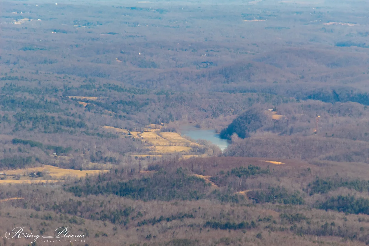
The Blue Ridge Parkway runs 469 miles along the crest of the Blue Ridge Mountains between Rockfish Gap, VA (36.10 N, 80.42 W approximate central section) and Cherokee, NC. From the air, the road is visible as a narrow ribbon following the ridgeline at elevations averaging 3,000 feet, with key landmarks including Mount Mitchell (6,684 feet) and Mount Pisgah area. Key nearby airports: Roanoke (KROA), Asheville Regional (KAVL), Hickory (KHKY), and Greenville-Spartanburg (KGSP). Recommended viewing altitude 5,000 to 8,000 feet AGL to see the Parkway in context with surrounding ridges.
Nearby Stories
- North Wilkesboro Speedway 8.3 km away
- Appalachian Ski Mountain 9.8 km away
- Bethabara Historic District 20 km away
- Hanging Rock State Park 24 km away
- Wytheville Raid 24 km away
- Emory and Henry University 24 km away
- Floyd County, Virginia 26 km away
- Watauga County, North Carolina 30 km away