
Borth
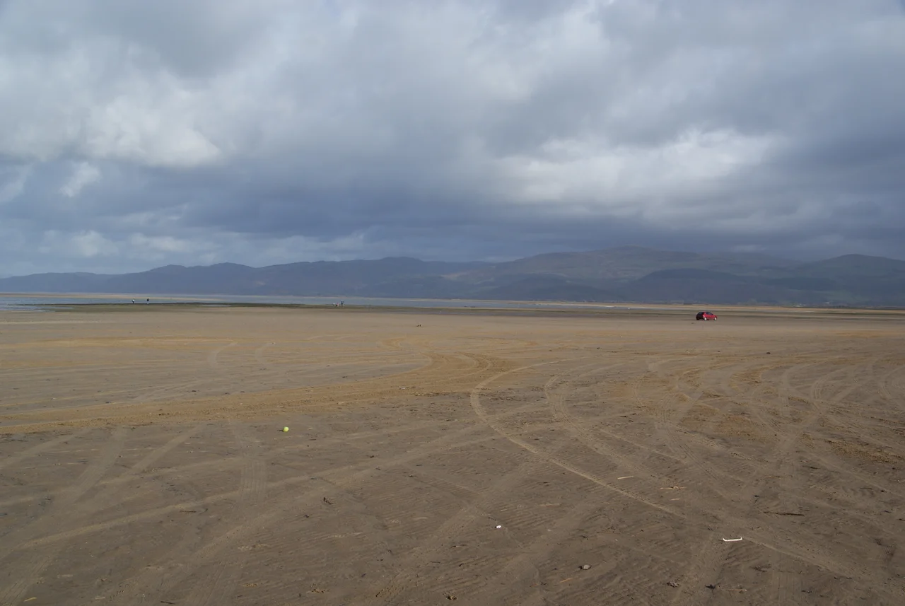
Walk out onto Borth beach at the lowest tides of spring or autumn and you will see them: blackened stumps of oak and pine, the broken teeth of a forest, exposed by water pulling back further than it usually does. The trees grew here when the sea was farther west and the land that is now Cardigan Bay was forest and marsh and meadow. Radiocarbon dating puts them at around 1500 BCE. The Welsh have a name for what was lost: Cantre'r Gwaelod, the Lowland Hundred, a sunken country whose bells the old people said could be heard from beneath the waves on still nights. Storm Hannah uncovered the stumps again in 2019. The legend, when you are standing among them at sunset on a falling tide, requires no convincing.
The Long Thin Village
Borth is barely two streets wide and runs for nearly two miles along a single pebble ridge between Cardigan Bay and the wetlands of Cors Fochno behind it. The population was 1,399 at the last full count, swelling each summer with caravan holidays and the slow weekend traffic that fills the seafront cafes. From being largely Welsh-speaking through the 19th century, the village has become substantially anglicised; over half the residents were born in England. Yet 43 per cent still spoke Welsh as their first language at the 2001 census. The two communities live shoulder to shoulder, the way they do in many Welsh coastal villages where the holiday trade and the chapel sit on adjacent corners and somehow both keep going.
Cors Fochno and the Biosphere
Behind the ridge, the land falls into one of the largest expanses of raised peat bog in Britain. Cors Fochno is part of the Dyfi UNESCO Biosphere Reserve, the only such designation in Wales, and it shelters bog-rosemary, sphagnum, and adders that bask on the boardwalks in summer. Walk it at dawn and the bog seems to breathe. The Welsh naturalist Edward Lhuyd, who recorded the submerged forest in 1696, would have known these wetlands as a vast frontier between sea and inland; modern Borth is squeezed onto the narrow strip where neither the bog nor the bay quite wins. The whole community is crossed by the Dyfi Valley Way, which leads inland toward Machynlleth and the slate uplands of Snowdonia.
The Year the School Came
On 4 April 1876, the entire Uppingham School arrived. Three hundred boys, thirty masters, and their families had fled a typhoid epidemic in Rutland, and the headmaster had decided that the cleanest air he could find was here, four hundred miles west on a Welsh beach. They took over the disused Cambrian Hotel and a string of boarding houses and stayed for fourteen months. Lessons were held in chapels and parlours; cricket was played on the sands. The episode became one of those strange seams that the Victorian network of railways made possible: a Midlands public school in temporary residence beside a Welsh fishing village, and then gone, leaving little behind except a remarkable footnote and a small book by one of the masters titled Uppingham by the Sea.
Trains, Lynxes, and Hinterland
Borth railway station still operates on the Cambrian Line, with hourly Transport for Wales services east toward Shrewsbury and west to Aberystwyth, just seven miles down the coast. The station building doubles as a volunteer-run museum of railway and community history. The Borth and Ynyslas Golf Club doubles as a location for the bleak crime drama Hinterland, whose Welsh-language original Y Gwyll filmed several episodes here, using the long sands and the empty light to lend the show its distinctive melancholy. In 2018 the village briefly drew international news when a Eurasian lynx escaped from the local Animalarium zoo and led the surrounding farms on a four-day chase before it was tracked down. The drowned forest, the lynx, and Hinterland all share a common Borth quality: the suggestion that something stranger lies just out of sight.
The Wall and the Trees
In 2011 work began on a £12 million coastal defence scheme, completed in 2015 with rock armour and breakwaters designed to slow the erosion that had been gnawing at the village since the Edwardian seafront was built. An unexpected gift came with the construction work: as the diggers shifted the beach, more of the ancient submerged forest emerged. The Welsh assembly and the European Union had funded a sea wall, and the sea wall had handed back another layer of the past. On clear evenings you can stand on the new defences with the bog behind you and the bay in front and see, simultaneously, where Borth ends and where it once began.
From the Air
Located at 52.49N, 4.05W on a narrow ridge between Cardigan Bay and the Cors Fochno wetlands, 7 miles north of Aberystwyth. From the air, Borth shows as a striking thin line of buildings clinging to a sand-and-shingle beach with the broad expanse of the Dyfi estuary opening to the north and the green peat bog directly inland. The submerged forest stumps are sometimes visible at very low spring tides as a dark patchwork on the lower beach. Nearest airports: Aberporth (EGFA) approximately 32nm south; Caernarfon (EGCK) approximately 45nm north; Welshpool (EGCW) approximately 40nm east. Recommended viewing altitude: 2,000-3,500 ft to take in the village, the estuary, and the Snowdonia foothills inland.
Nearby Stories
- Cambrian Mountains 6.1 km away
- Battle of Orewin Bridge 7.1 km away
- Church of the Holy Cross, Mwnt 9.1 km away
- Cymer Abbey 10 km away
- Plas yn Rhiw 10 km away
- Talgarreg 19 km away
- HMS Whirlwind (R87) 23 km away
- Battle of Oswestry 34 km away