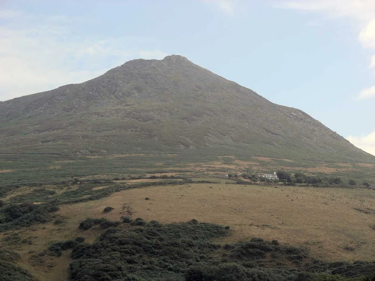

Carn Fadryn
Climb Carn Fadryn on a clear day and you can see, in one slow sweep of the head, Anglesey to the north, Snowdonia to the east, the curve of Cardigan Bay to the south, and across the Irish Sea the blue hump of the Wicklow Mountains in Ireland. The hill is only twelve hundred and seventeen feet high, a domed cone of igneous rock pushed up out of the Llyn Peninsula's central plateau. What makes the view extraordinary is not altitude but isolation, the way the land falls flat away in every direction.
Two Iron Age Fortresses
The earliest defenders arrived around 300 BC. They enclosed the summit and roughly twelve acres of upper slope behind a stone rampart whose footings can still be traced through the heather. Around 100 BC their successors decided the lines were not far enough out and built again, this time enclosing some twenty-six acres reaching toward the north. The collective area inside these two walls makes Carn Fadryn one of the larger Iron Age hillforts in north-west Wales, a five-hectare site whose population in any given generation might have run to several hundred souls, with cattle and grain stores stockaded inside the upper enclosure during the worst weather and the worst raids.
The Castle of the Sons of Owain
More than a thousand years after the Iron Age builders, a third fortress went up here. Gerald of Wales, riding past in 1188, took the time to record it in his Itinerarium Cambriae: dua castra lapidea de nova sita fuerunt; unum...Deutrait; alterum...in capite Lhein, quod erat filium Oenei, cui nomen Karnmadrun. Two stone castles newly built, one of them at the head of Llyn, belonging to the sons of Owain, called Carn Fadryn. Owain Gwynedd, the great twelfth-century prince of Gwynedd, had died in 1170, and his sons divided his territory between them. Carn Fadryn's medieval fortress, perched on the natural crag near the summit, was the visible symbol of one son's portion. It was among the earliest stone castles built by Welsh hands, anticipating the great Edwardian fortresses of Caernarfon and Conwy by a full century.
What the Hill Remembers
The summit today is grass and crag and the tumbled stones of three different ages of wall, all of them softened by lichen and weather and indistinguishable to anyone but an archaeologist. Sheep crop the grass between the ramparts. The footpath up from the village of Garnfadryn climbs steadily for an hour or so, and the final scramble to the cairn at the top can be windy enough to lean against. On the right day every horizon delivers, the kind of view that puts the rest of the Llyn into its proper geographical place. On the wrong day, the cloud closes in below the summit and you walk the ramparts in a grey hush, feeling rather than seeing the four counties around you and understanding why the Iron Age people decided this hill was the place to make a stand.
From the Air
Carn Fadryn rises to 1,217 feet (371 m) in the centre of the Llyn Peninsula at 52.886N 4.561W, the most distinctive isolated hill on the peninsula. From the air it appears as a near-perfect dome above the surrounding fields, often the only ground feature breaking the otherwise flat plateau. Use it as a navigation landmark when flying down the peninsula. On exceptionally clear days the Wicklow Mountains of Ireland are visible 60 nm west. Nearest airfield is Caernarfon (EGCK), about 13 nm north-east. Mountain weather can change rapidly; maintain safe terrain clearance and watch for orographic cloud.
Nearby Stories
- Swallow Falls 2.3 km away
- Dinas Dinlle 3.9 km away
- Cardigan Bay 6.7 km away
- Battle of Mynydd Hyddgen 7.5 km away
- Irish Sea Bridge 20 km away
- Ysbyty Ifan 24 km away
- Cantre'r Gwaelod 29 km away
- Irish Sea 46 km away