Department of Loreto
Almost a third of Peru fits inside Loreto's borders. Slightly smaller than Germany or Japan, and more sparsely populated than either, the department sprawls across the country's northern Amazon, stitched together by rivers rather than highways. Its capital is Iquitos - a city of several hundred thousand people that cannot be reached by road from anywhere else in Peru. You arrive by plane or by boat. That geographical fact shapes everything about Loreto, from the wars that were fought over its borders to the fish the vendors sell by the kilo at the Belen market.
Orellana's River
The accidental discovery started in Guayaquil. On February 4, 1541, Francisco de Orellana sailed south to join Gonzalo Pizarro's expedition searching for cinnamon and gold on the eastern slopes of the Andes. By the time the expedition reached the Napo River the following year, they were starving. Orellana took a small party downstream to find food and never turned back - the current would not allow it. He floated the length of what he would name the Rio Amazonas after the warrior women his crew claimed to have fought on its banks. In August 1542 he reached the Atlantic. The route he had stumbled into cut across what would eventually become the Department of Loreto, and the rivers would be its only highways for the next four centuries.
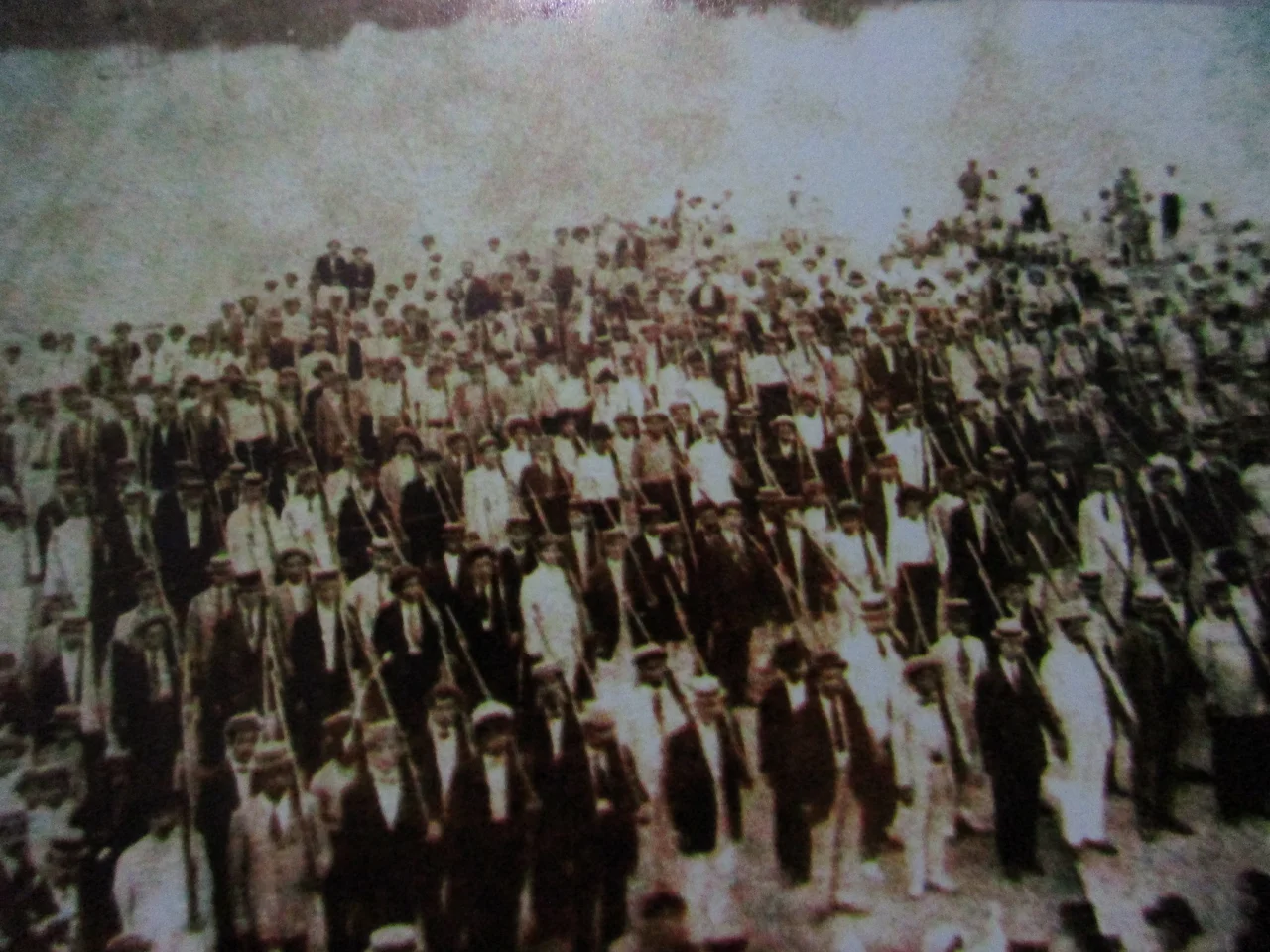
A Province That Kept Being Moved
The Spanish Crown never managed to rule the Amazonian lowlands the way it ruled the Andes. The territory bounced administratively between the Viceroyalty of Peru and the Viceroyalty of New Granada for brief periods, and the only consistent Spanish presence was the Jesuits, Dominicans, and Franciscans working out of Moyobamba on the eastern slopes. When the missions faded after Jesuit expulsion in the 1760s, most of the 19th century passed with the Amazonian lowlands largely forgotten by Lima. In 1802 the Spanish Crown created the General Command of Maynas y Quixos by royal decree, reincorporating the territory into Peru from Quito's audiencia. That 1802 line would sit behind two long territorial disputes: one with Colombia that ran until 1934, one with Ecuador that did not formally end until 1999. Iquitos itself, the future capital, was founded in the 1750s as a Jesuit mission.
Who Lives There Now
Loreto is home to Amazonian indigenous peoples including the Amahuaca, the Urarina, and dozens of smaller groups whose languages and practices vary with the river basin. The 2017 census found that 82 percent of residents identified as mestizo, 11.4 percent as other - almost entirely Amazonian indigenous - 2.9 percent as Afro-Peruvian, 2 percent as white, and 1.5 percent as Quechua. Spanish was the first language for 92.5 percent of residents in the 2007 census, though mother-tongue distributions vary sharply by province. The indigenous numbers before European contact are uncertain. Chroniclers recorded that 100,000 natives were baptized within the first century of contact. Scholars estimate the pre-contact population at perhaps 300,000, reduced sharply by smallpox, malaria, and yellow fever - diseases that moved through the river systems faster than any colonial expedition ever did.
Eight Provinces, Fifty-Three Districts
The department divides into eight provinces composed of 53 districts. Alto Amazonas is centered on Yurimaguas; Datem del Maranon on San Lorenzo; the province of Loreto itself on Nauta, near where the Maranon and Ucayali rivers meet to form the Amazon proper. Mariscal Ramon Castilla's capital is Caballococha, on the Colombian border. Maynas contains Iquitos. Requena has its namesake town on the lower Ucayali. Ucayali Province is headquartered at Contamana. Putumayo, created from what had been part of Maynas, sits along the Colombian frontier with its seat at San Antonio del Estrecho. Each provincial capital functions as a gateway to its own river basin, and each basin has a different character: the Pacaya-Samiria flooded forests in Loreto Province, the black-water blackwaters of the Pucacuro Reserved Zone, the white-sand forests of the Allpahuayo-Mishana National Reserve near Iquitos.
Things to Taste
Loreto eats like Amazonia. Motelo is turtle-meat soup. Juanes are rice tamales wrapped in bijao leaves and filled with chicken or fish, eaten most ceremoniously on June 24 for the Fiesta de San Juan when whole neighborhoods gather on the Nanay and Amazonas riverbanks to drink and dance. Cecina is dried and smoked pork; tacacho combines mashed green plantain with pork and onions. Paiche, Arapaima gigas, is the enormous freshwater fish that can grow three meters long and appears on plates fried, smoked, and in soups. Vendors still offer steamed or fried monkey and lizard in local markets, though those dishes have grown controversial. To drink, masato - a mildly fermented beer made from chewed cassava - and juices from aguaje palm fruit, passion fruit, and cocona. Festivities run through the year: Iquitos' anniversary in the first week of January, Carnivals in February, the Santa Clara de Nanay crafts fair in August, patron saint festivals across the department in September and December. The river gives the rhythm. Loreto follows it.
From the Air
Coordinates approximately 4.00 deg S, 74.32 deg W for the department's center, though Loreto spans a vast area of northeastern Peru. Major airport: Coronel FAP Francisco Secada Vignetta International in Iquitos (SPQT / IQT), the gateway to the Peruvian Amazon. Yurimaguas (SPMS), Nauta, and Caballococha have smaller regional strips. Terrain is predominantly flat Amazonian lowland under near-continuous cloud cover. There is no road connection between Iquitos and the rest of Peru - all long-haul freight moves by river boat or air.
Nearby Stories
- Nauta 42 km away
- Maynas province 68 km away
- Iquitos Varzea 115 km away
- Huallaga River 126 km away
- Napo moist forests 133 km away
- Peruvian Amazonia 191 km away
- Nuevo Rocafuerte 328 km away
- Solimoes-Japura Moist Forests 352 km away