Dissen, Lower Saxony
In 822, Louis the Pious - Charlemagne's son, then ruler of the Frankish empire - signed a document handing over the Meierhof at Dissen to the Bishop of Osnabrück. That document is the first time the town's name appears in writing. It has been there ever since, on the southern slope of the Teutoburg Forest where Lower Saxony brushes against North Rhine-Westphalia, in a hill town whose coat of arms shows a golden wheel beneath a golden crown on a green field - a symbol whose precise meaning even the locals' own historians can no longer fully decode.
The Name Nobody Can Crack
The name 'Dissen' shows up in dozens of medieval spellings: Disne in 1217, Dyssene in 1225, Dissine in 1271, Dyssen by the 16th century. The Lower Saxon onomastician Jürgen Udolph has worked through the possibilities. One theory: it derives from a Low German word for misty or hazy ground, perhaps referring to the moorland around the Dissener Bach. Another theory ties it to an Old Norse word for a small pile or haystack - which would also account for the English word 'desk' through a related Germanic root. Hill town? Misty town? Haystack town? The medieval scribes left enough variation to support each reading. The town's website acknowledges the puzzle without trying to resolve it. Some names refuse to be pinned down.
Fire, City Rights, and a Late Recognition
Dissen spent most of its existence as a Meierhof and then a village - too small for anyone to bother fortifying. The biggest event of the 19th century was a fire in April 1832 that took 32 buildings and left about 200 people without a roof. A public school finally opened in 1857 with three classes. City rights came astonishingly late: November 8, 1951. For more than a thousand years after that first mention by Louis the Pious, Dissen was a village. Then, in the same era that saw West Germany rebuilding from war and figuring out which towns deserved which administrative status, Dissen was finally granted the formal designation of city. In 1976 the state of Lower Saxony added 'am Teutoburger Wald' to its official name, lashing it to the forested ridge that defined its geography.
Sausages and the Border
Dissen sits on a particular kind of seam. To the north and west lie other Lower Saxon towns - Hilter, Melle, Bad Rothenfelde. To the south and east, the territory turns into North Rhine-Westphalia, with Versmold and Borgholzhausen in the Gütersloh district just across the line. Dissen is functionally bilingual in regional administration: which state's bureaucracy you deal with depends on which side of which line you happen to live. The town today is best known as the headquarters of Homann, the food brand whose herring salads, mayonnaise-based deli salads, and remoulade have been on German supermarket shelves for over a century. Drive south through Dissen and you'll smell the production runs. The Homburg Meierhof has become the Homann factory; the bishop's hereditary tenant has become a brand.
Notables and Oddities
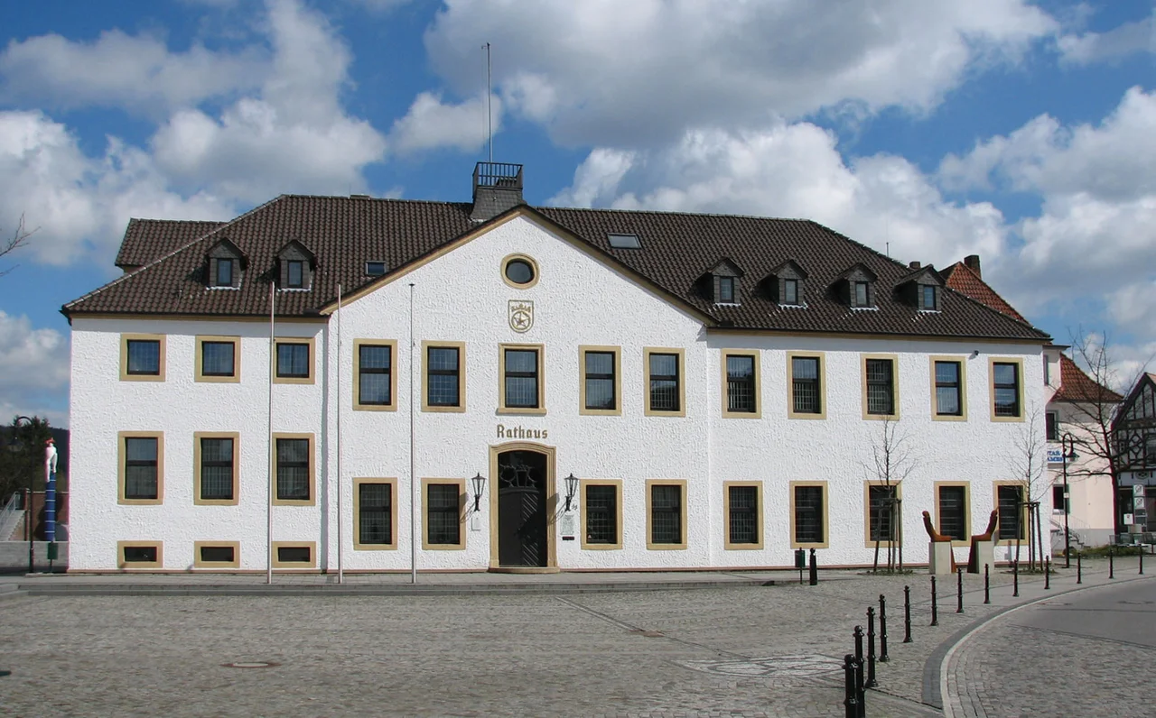
For a town of about 9,000 people, Dissen has produced a curious slate of notables. Hermann Heinrich Grafe (1818-1869), born here, founded the League of Free Evangelical Churches in Germany - one of the architects of German free-church Protestantism. Christoph Friedrich Kurlbaum (1833-after 1890) became a businessman and member of the Reichstag. In our own century the list includes politicians of nearly every German party - the SPD's Andy Grote, the CDU's Rainer Spiering, and Gerwald Claus-Brunner, a Pirate Party member who served in the Berlin state parliament before his death in 2016. The town's central sights are modest: the 13th-century St. Mauritius church, the old Frommenhof farmhouse, and a telecommunications tower whose viewing platform offers what Dissen has always offered - a long view from a hilltop town that the rest of Germany rarely thinks about.
From the Air
52.12°N, 8.20°E. Dissen am Teutoburger Wald clings to the southern slope of the Teutoburg Forest about 20 km southeast of Osnabrück, with the Hankenüll hill (307 m) marking its northeastern boundary. From altitude, look for the forested ridge running northwest-to-southeast with the town terraced along its sun-facing slope. Nearest airport: Münster Osnabrück International (FMO/EDDG), about 35 km northwest. Paderborn-Lippstadt (PAD/EDLP) is roughly 60 km south.
Nearby Stories
- Münster Osnabrück Airport 3.8 km away
- Hunteburg 6.1 km away
- Liesborn Abbey 16 km away
- Nordkirchen Castle 19 km away
- Siege of Lingen (1597) 32 km away
- Gardelegen Massacre 179 km away
- Memleben Abbey 198 km away
- Ludwigslust Palace 226 km away