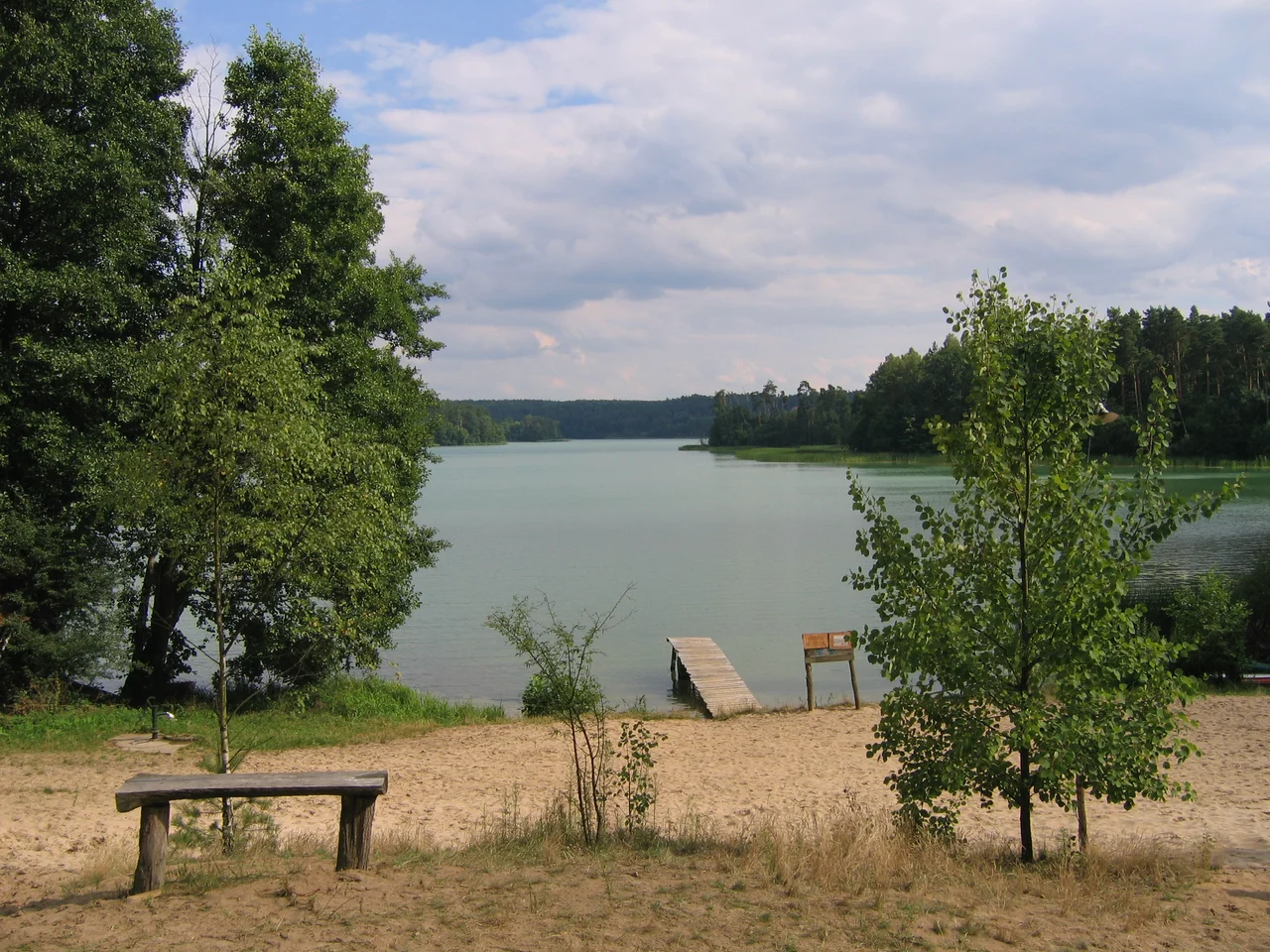

E11 hiking trail
In 1980 the twinned cities of Haarlem and Osnabrück decided to connect themselves with a walking route. It was a modest civic gesture between two towns 200 kilometres apart, and it ran into a hard limit about 300 kilometres further east, where the German Democratic Republic began. Then the border stopped existing. Through the 1990s the E11 was extended to Berlin, then into Poland, then further, on the explicit reasoning that a footpath is a slow and stubborn argument for European integration. As now defined it runs from the North Sea beach at Scheveningen to Tallinn on the Baltic - about 4,610 kilometres through six countries. Walkers' guides still tend to treat the classic route, ending at the Polish-Lithuanian border, which is about 2,560 kilometres on its own.
Stitched Together From Older Paths
Almost nothing about the E11 was built for it. Like the other European long-distance paths, it is a route assembled by agreement out of trails that already existed, waymarked by the local hiking clubs who maintain them, and the German section reads like an inventory of regional walking culture. The Töddenweg carries it 111 kilometres from Bad Bentheim through Rheine and Mettingen to Osnabrück. The Wittekindsweg takes over for 95 kilometres to Porta Westfalica. Then it works east between the Weser and the Leine through Hameln, Alfeld, Bad Gandersheim and Seesen before climbing into the Harz - Goslar, Bad Harzburg, Wernigerode, Blankenburg, Thale - and dropping out the far side toward Lutherstadt Eisleben. Germany accounts for 996 kilometres of the whole. The Netherlands, from Scheveningen through The Hague, Leiden, Amersfoort and Deventer to the German border, accounts for 355.
Fläming, Lehnin, Havel
The Brandenburg leg is the quiet centre of the whole thing. Coming out of the Fläming hills the path reaches Bad Belzig and then Lehnin Abbey, the Cistercian house the Brandenburg margraves founded and were buried in, before turning into the eastern Havelland - a country of scattered lakes ringed with the ageing holiday resorts the GDR built for its workers, and of old hunting forests that belonged to the Brandenburg-Prussian nobility. It passes Ferch and Caputh, where Einstein kept his summer house, and skirts the Templiner See into Potsdam. From there it crosses Park Babelsberg and threads through Klein Glienicke, a small settlement that the Cold War border cut into an absurd shape and left almost surrounded by the other Germany. The Glienicke Bridge is a few minutes away. Very little of this landscape announces itself; you have to be walking through it.
Straight Through the Capital
Long-distance paths usually avoid cities. The E11 does the opposite - it goes in. It enters Berlin through the forest around the Olympic Stadium in Charlottenburg, picks up the Spree and the Landwehr Canal, and follows the water through the middle of the capital before coming out the eastern side at Friedrichshagen and heading up the valley of the little river Erpe. That decision was the point of the 1990s extension. A trail that had spent a decade stopping at a wall now walks the length of the city the wall ran through, and then continues to Frankfurt (Oder) and over the river into Poland.
1,209 Kilometres of Poland
The Polish section is the longest and the emptiest. It runs northeast through Poznań and Gniezno, crosses the Vistula at Toruń, and continues by Brodnica and Iława - a city whose modern centre exists because the old one was destroyed in the Second World War. Past the railway station at Samborowo a blue-marked stretch leads to the field at Grunwald, where in 1410 a Polish-Lithuanian army defeated the Teutonic Knights; the guide calls it the most important national site of the Polish people, and the trail reaches it through neglected fields and wasteland with the markings sometimes overgrown. Beyond Waplewo the farmland gives way to forest, and two protected areas force a long southern detour before the route swings north again through the Las Warmiński reserve to Olsztyn. It ends at a border post three kilometres from Ogrodniki.
What the Trail Asks of You
The most dangerous animal on the E11 weighs a few milligrams. Ticks are found along the entire route, often heavily infected with the bacteria that cause Lyme disease, and east of the Harz they can also carry tick-borne encephalitis - which is worth a vaccination before you go. There is no preventive for Lyme, but antibiotics work if it is caught early. You may also meet an adder, a boar, or, less often, a wolf or a lynx; the path is nonetheless mostly safe, and it can be walked in winter by anyone properly dressed and carrying hot drinks. The real logistical problem is Polish distance. Without a tent you need to be able to cover 35 kilometres in a day, because that is sometimes how far apart the beds are - and the bus stops.
From the Air
This tile anchors the E11 in the Havelland at 52.48 N, 12.96 E, northwest of Potsdam, on the Brandenburg leg between Lehnin and the capital. The trail itself is a line of waymarks rather than anything visible from altitude, so fly the landscape instead: from 2,500-4,500 ft the chain of Havel lakes - Großer Zernsee, Schwielowsee, Templiner See, and further east the Wannsee and the Glienicke Bridge - lays out the corridor almost exactly as the path walks it, with the Fläming ridge rising low to the southwest and the dark mass of the Grunewald marking the Berlin end. Werder's island town, Potsdam's palace parks and Caputh's lakeside village are all on or beside the route. Berlin Brandenburg (EDDB) is about 39 km southeast and its controlled airspace covers the eastern half of this corridor; Schönhagen (EDAZ) lies roughly 34 km south. Best light is early morning, when mist sits on the lakes and the forest edges read sharply.
Nearby Stories
- Schwerbelastungskörper 1.7 km away
- Maybach I and II 7.6 km away
- Battle of Fehrbellin 8.5 km away
- Bogensee 12 km away
- Genthin Rail Disaster 13 km away
- Treuenbrietzen 13 km away
- Stork Farm Loburg 18 km away
- Holy Blood of Wilsnack 35 km away