Ems
In the second century AD, the Alexandrian geographer Ptolemy drew a river he called Amisios potamos flowing into the North Sea between the Rhine and the Weser. He had never seen it. He was working from Roman military reports, and the river he was sketching from Egypt is the same one that today runs through Lingen, Meppen and Emden under the name Ems. The Romans knew this river painfully well. They built a fort called Amisia at its mouth, hoping to use the waterway as a corridor into the Germanic tribes living along its banks — the Cherusci, the Bructeri, the Chamavi — many of whom would later coalesce into the Franks. Instead, they were stopped at the Teutoburg Forest in 9 AD in one of the worst military defeats in Roman history, and checked again six years later. The river became, in Tacitus's phrase, a road leading nowhere. Three hundred and sixty-two kilometers long. Bordered for most of its length by swamps where infantry could not stand.
A River with Five Names
Ancient writers could not agree on what to call it. Pliny the Elder used Amisia in his Natural History. Tacitus called it Amisia and sometimes Amasia. Pomponius Mela had Amasius. Strabo and Ptolemy preferred Amisios or Amasios. The variations probably reflect different Latin transliterations of a single Germanic name, the root of which survives in the modern German Ems and Dutch Eems. The identification was never in doubt — every ancient source places the river between the Rhine and the Weser, and every ancient source connects it to the Teutoburg Forest at its headwaters. The river rises near Schloß Holte-Stukenbrock at the southern edge of that forest, a few meters of clear water emerging from a hillside, and runs north through North Rhine-Westphalia and Lower Saxony to the Dollart bay.
The Flood That Made an Estuary
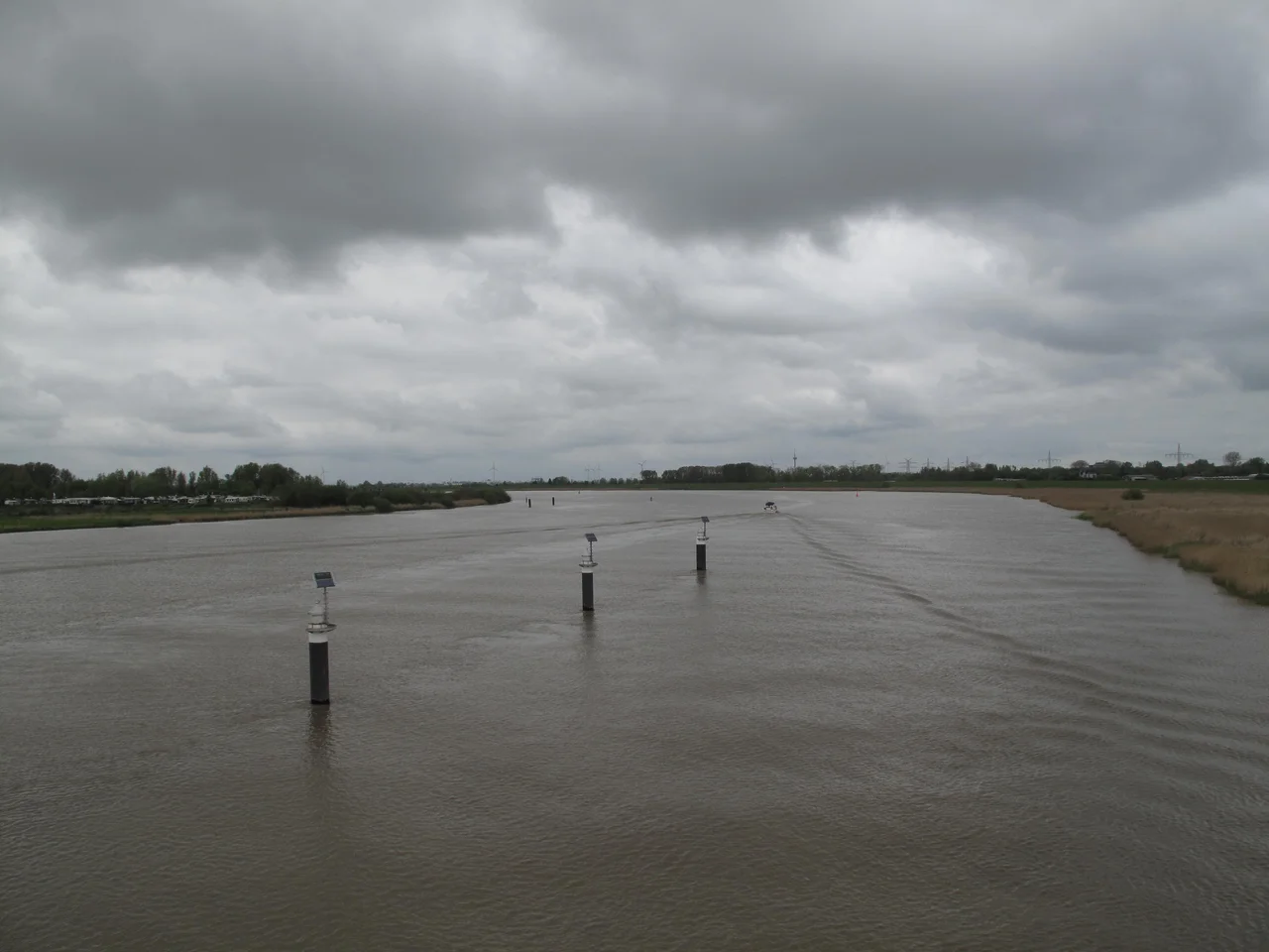
For most of human history the river simply flowed past Emden and continued out to the North Sea through a relatively narrow channel. The Dollart bay — the broad estuarine basin into which the modern Ems discharges — did not exist before the late thirteenth century. A catastrophic storm surge in 1277 broke through the existing dikes and drowned forty-three parishes in a single night, killing an estimated 80,000 people. The death toll, like most medieval flood figures, is uncertain; the geographic change is not. The land lost in that surge — and in the further surges of 1362 and 1509 — became open water. Centuries of dike-building have recovered roughly two-thirds of it. The river that Ptolemy mapped no longer exists. What runs past Emden today flows into a bay that wasn't there when the Romans tried to use it as a road.
Diplomatic Ambiguity
In late July 1914, with the First World War about to begin, the Imperial German government announced plans to mine the entire Ems estuary against British warships. There was a problem: the boundary through the estuary was disputed, and mining contested water meant the Netherlands could plausibly be required to declare war on Germany for violating Dutch neutrality. The Dutch envoy in Berlin, Baron Wilhelm Alexander Frederik Gevers, defused the situation with one of the more elegant ambiguities in the history of European diplomacy. He stated that the boundary question was opgeschort — a Dutch word that can mean either suspended or resolved, depending on context. The Dutch government endorsed the formulation. The Germans took it as resolved. The Netherlands took it as suspended. War was avoided. The actual boundary still has not been agreed in 2026.
The Ship-Carrying River
Modern industry transformed the Ems again. Canals dug in the eighteenth and nineteenth centuries connected it to the Rhine system, the Weser, and the Mittellandkanal, making it a working highway of inland shipping. The Meyer Werft shipyard at Papenburg, about 50 km inland from the river's mouth, builds some of the world's largest cruise ships — vessels that are too wide and too deep for the natural river. To deliver them, the yard now relies on the Emssperrwerk barrier near Gandersum, completed in 2002, which can dam the lower river to raise water levels for transit. Each cruise-ship departure is a multi-day operation, watched by crowds along the banks. The Ems still runs to nowhere strategically — the Romans were right about that — but it has become the only inland route in northern Europe by which a ship the size of a small town can sail out to sea.
Borkum and the Two Mouths
Where the river finally meets the North Sea, the channel splits around the German island of Borkum into two straits: the Westereems on the Dutch side and the Osterems on the German. Both still carry the river's name. From the dunes of Borkum on a clear day you can see Schiermonnikoog to the west and the Frisian shore curving away to the east, and you are looking at the place where a river that begins as a trickle in a Westphalian hillside finally loses itself in the Wadden Sea. Pliny would still recognize the geography. The water has been moving through it for two thousand years.
From the Air
The Ems is best viewed as a longitudinal navigation feature running roughly south-to-north for 362 km through northwestern Germany. Headwaters near 51.87°N, 8.65°E (Schloß Holte-Stukenbrock); mouth at the Dollart bay near 53.32°N, 7.24°E. Major waypoints along the river include Rheine, Lingen, Meppen, Papenburg (Meyer Werft shipyard — the enormous covered building is unmistakable), Leer, and Emden. The lower river is canalized and dredged, with the Emssperrwerk barrier near Gandersum (53.34°N, 7.45°E) as a distinct cross-river structure. Nearest airports along the course: Münster-Osnabrück (EDDG), Bremen (EDDW), Groningen Eelde (EHGG). Recommended viewing altitude: 3,000–8,000 ft AGL — high enough to follow the river's curves for tens of kilometers at a time.
Nearby Stories
- Tynaarlo 5.3 km away
- Organ in the Jacobikerk at Uithuizen 6.4 km away
- Bourtange 8.9 km away
- Norderney Airport 11 km away
- Razing of Friesoythe 11 km away
- Harle (gat) 19 km away
- Lordship of Gödens 22 km away
- Alpha Ventus Offshore Wind Farm 45 km away