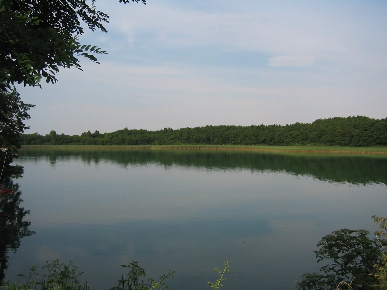

Feldberg Lake District Nature Park
Rudolf Ditzen moved to a farmhouse above the Carwitzer See in 1933 and stayed eleven years. He wrote under the name Hans Fallada, and in September 1935 the regime declared him an undesirable author, a designation that banned his work. His British publisher arranged a way out of Germany. He said he could not leave. So he remained here, among lakes the ice age scooped out and never quite drained, on a piece of ground where the water outnumbers the villages. The house still stands above the same reeds. There is something disorienting about a landscape this quiet being, for one man, the place he chose over escape.
The Writer Who Would Not Leave
Rudolf Wilhelm Friedrich Ditzen was already famous when he came to Carwitz, and the fame was becoming a liability. He wrote through the ban, through the surveillance, through years in which almost every choice available to him was a bad one. In 1944 a drunken altercation with his former wife ended with a shot fired, and he was committed to a psychiatric institution. There he wrote The Drinker, setting it down in a coded hand so that it could not be read over his shoulder. He got out. He died in Berlin on 5 February 1947, a few months after producing, in a single burst between September and November 1946, the novel published in English as Every Man Dies Alone - a book that would find its readers sixty years after his death. Carwitz was where the long, difficult middle of that life was spent.
What the Ice Left Behind
Everything here is the work of a glacier that has been gone for around twelve thousand years. Terminal moraines ridge the north of the park; the south is wooded sandur, the flat sand plain that meltwater laid down as it ran off the ice. The central lakes belong to the terminal moraine of the Pomeranian Stage of the Weichselian glaciation, and the result is relief that northern Germany does not normally offer - real slopes, real drops. The highest point is a hill called the Vogelkirsche, north of the Breiter Luzin near the village of Schlicht, at 166.6 metres. That sounds trivial until you see what it overlooks. The Breiter Luzin drops 58.3 metres below the surface, making it the second deepest lake in Mecklenburg-Vorpommern, and its water sits in a hollow gouged by ice. Scattered between the lakes are kettle bogs, formed where blocks of buried ice melted out and left holes that filled with peat and rain.
Three Hundred and Fifty Years Without an Axe
The stand of beech called the Heilige Hallen - the Holy Halls - is the reason foresters come here from other countries. In the middle of the nineteenth century Grand Duke George of Strelitz saw the columnar trunks and ordered that the wood be left alone, an instruction that has largely held ever since. Formal protection followed on 24 February 1938, and in 1993 the core reserve was enlarged from 25 hectares to 65.5. The trees are roughly 350 years old and some reach 53 metres. Many have now outlived their natural span, which is the point: the wood is thick with standing dead timber and fallen giants, the untidy architecture that a managed forest never accumulates. Walking in, the comparison the name makes is unavoidable. The trunks go up like columns, the canopy closes overhead, and the light arrives already filtered.
The Otter on the Coat of Arms
The park chose the otter for its emblem, which tells you what kind of place it considers itself to be. Black storks nest in the older woods. Ospreys, lesser spotted eagles and white-tailed eagles work the lakes, and the water holds whitefish and the swollen river mussel, a species fussy enough about its river that its presence is a verdict on water quality. Botanists count over a thousand wild flower species inside the boundary. Fourteen nature reserves are stitched through the park - Heilige Hallen, Hullerbusch und Schmaler Luzin, Hinrichshagen and eleven others - covering 3,714 hectares between them, a little over a tenth of the whole. The rest is not wilderness and does not pretend to be.
A Border Under the Water
The park runs to about 340 square kilometres, and the arithmetic is honest about what it is: 38 percent woodland, 11 percent lake and river, 45 percent farmed, the remainder roads and houses. This is a cultural landscape with protected pieces inside it rather than a park with farms at the edges. Its western end overlaps Müritz National Park, and its southern edge is stranger still - the state border between Mecklenburg-Vorpommern and Brandenburg runs not along a road but straight through open water, dividing the Krüselinsee, the Großer Mechowsee and the southern end of the Carwitzer See. Swim across and you have changed federal states without touching land. Fallada, who took his walks along that same shore, would have crossed the line most mornings without noticing it.
From the Air
The Feldberg Lake District Nature Park is centred near 53.34 N, 13.43 E in southeast Mecklenburg-Vorpommern, roughly 16 nm south-southeast of Neubrandenburg and 58 nm north of Berlin. Best viewed between 2,000 and 4,000 feet AGL. The terrain is low - the highest ground in the park, the Vogelkirsche, is only 166 metres - so the navigation signature is water, not relief: a dense chain of irregular lakes set in forest and farmland, with the long narrow Schmaler Luzin and the broader Breiter Luzin forming a distinctive pair near the village of Feldberg. Müritz National Park and the much larger Müritz lake lie west. Nearest airports are Neubrandenburg (EDBN), about 16 nm north-northwest, and Berlin Brandenburg (EDDB), about 58 nm south. Autumn and early-morning mist forms readily over the lakes and bogs and can flatten the whole district into a white sheet while the surrounding fields stay clear.
Nearby Stories
- Carinhall 11 km away
- Müritz National Park 15 km away
- Neuruppin 23 km away
- St. Mary's Church, Chojna 28 km away
- Battle of Cedynia 30 km away
- Historical Technical Museum, Peenemünde 60 km away
- Lilleø 175 km away
- Stutthof Concentration Camp 342 km away