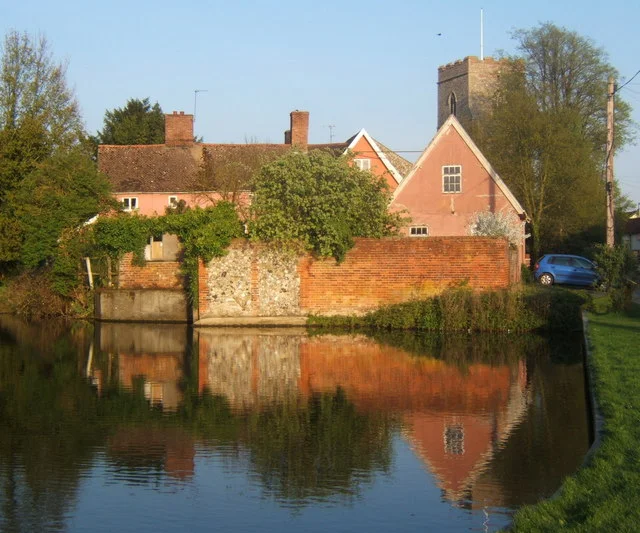

Haughley Castle
A motte-and-bailey castle is, at its bones, a hill and a yard. But the hill at Haughley is extraordinary: 210 feet wide at the base and probably 40 feet tall, surrounded by a rectangular bailey 390 feet long and 300 feet across. It is the kind of earthwork that makes you stop. The historian J. Wall called it "the most perfect earthwork of this type in the county," and R. Allen Brown placed it among "the most important" castle sites in all of East Anglia. Yet barely anyone beyond the village of Haughley knows it exists.
Built by a Norman Baron
Hugh de Montfort built the castle in the late 11th century, soon after the Norman Conquest gave ambitious men from Normandy the opportunity to impose themselves on the English landscape in stone and earth. The motte-and-bailey design was the standard Norman formula: a raised mound topped with a wooden or stone tower, connected to a defended yard where the garrison and essential buildings were housed. At Haughley, the scale was exceptional. De Montfort became a monk in 1088 and the castle passed through his family. For nearly a century it remained a significant Norman stronghold in Suffolk.
Royal Seizure and Medieval Siege
Henry II seized Haughley Castle in 1163, after Henry d'Essex — the castle's holder at the time — was convicted of cowardice during the 1157 Welsh campaign. By the mid-1170s, the castle was held on the king's behalf by Ralph de Broc and a garrison of 30 soldiers. In 1173, during the revolt of Henry II's sons, the situation became dangerous. Robert de Beaumont, Earl of Leicester, allied with the rebel Bigods, landed on the East Anglian coast and marched west. He put Haughley under siege. Ralph surrendered, the castle was smoked out, and the revolt eventually failed — but not before the castle had been substantially damaged. Haughley was fully rebuilt afterwards, a Manor House constructed within the inner bailey, and the outer bailey gradually filled with buildings.
Eight Centuries of Earthwork
The keep tower was still partially standing in 1760, when Richard Ray had the remaining portions removed. What he left were the circular foundations — more than eight feet thick. A major excavation in 2011 cleared the site and revealed extensive foundations and many fragments of intricately carved and dressed stone, evidence of the quality of construction that once stood here. The earthworks themselves are the survivors. After more than 850 years, the motte still rises distinctly from the Suffolk countryside, its proportions intact despite centuries of weather, cultivation, and gradual subsidence. In 2023, Haughley marked the 850th anniversary of the siege with a fair, talks, a book launch, a battle re-enactment, and the lighting of a beacon.
A Scheduled Monument in a Suffolk Village
Today Haughley Castle is a scheduled monument, protected as a site of national archaeological importance. It sits about four kilometres northwest of Stowmarket, largely unknown outside local history circles, with a public footpath crossing the site. There are no visitor facilities, no interpretation centre, no cafe. What there is: the motte, the footprint of the bailey, the circular foundations of the keep, and the particular quality of silence that comes from standing on ground where, in 1173, soldiers surrendered and fire was set. The village of Haughley clusters nearby, its church probably once enclosed within the outer bailey. It is one of the better-preserved Norman earthwork castles in England, hidden in plain sight.
From the Air
Located at 52.22°N, 0.96°E, approximately 4 kilometres northwest of Stowmarket in mid-Suffolk. The motte is a distinct raised earthwork in the flat Suffolk landscape, visible from the air as a circular mound. Nearest airports: Norwich Airport (EGSH), approximately 42 miles northeast; Cambridge Airport (EGSC), approximately 40 miles west. Recommended viewing altitude 1,500–2,000 feet to identify the earthwork in context. The A14 runs south of Stowmarket and provides orientation.
Nearby Stories
- Wicken Fen 4.5 km away
- Walden Abbey 7.6 km away
- Saxmundham 10 km away
- East Bergholt 11 km away
- RAF North Pickenham 13 km away
- Acle 13 km away
- Maunsell Forts 16 km away
- Wisbech & Fenland Museum 17 km away