Kerma
The Western Deffufa looks, from a distance, like an enormous earthen block - a battered rectangle of mud brick rising eighteen meters above the flat plain of the Nile. It is the biggest single surviving mud-brick structure in sub-Saharan Africa, and it was built after 1750 BC, probably as the central temple of a city whose population had just passed 10,000. That city was Kerma, capital of one of Africa's first urban civilizations. Walk the grounds today and you are walking over at least 4,000 years of continuous occupation, from the first hunter-gatherers who settled here around 8350 BC to the cattle-herding kingdoms that built the Deffufa and the royal tombs beyond it.
Fields That Became a City
The locale was first settled around 8350 BC, during the Mesolithic. Twice the site was mostly abandoned - between 5550 and 5150 BC, and again between 4050 and 3450 BC - likely because flow in the Nile weakened during those stretches, particularly from the White Nile headwaters. Agriculture developed around 3000 BC, and a cultural tradition began to coalesce. Over the next millennium Kerma grew into an urban center built around the Western Deffufa temple. A state society emerged between 2550 and 1550 BC. Cattle breeding declined in significance after 1750 BC, replaced by more diverse subsistence and trade economies. By 1700 BC, Kerma held at least 10,000 people - a striking number in a region and an era when most human settlements were villages of a few hundred.
Thirty Thousand Graves
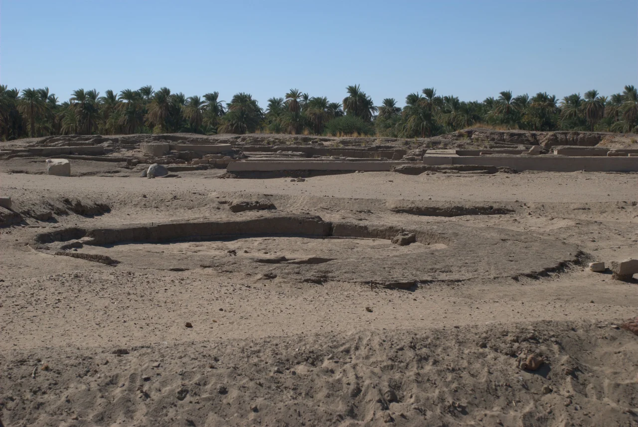
The cemetery at Kerma contains over 30,000 graves. It extends for kilometers south of the city, and reveals a strikingly organized social hierarchy: larger graves ringed by smaller ones, as if retainers were arrayed around their lords even in death. The four largest burial mounds, at the southern end, reach up to 90 meters in diameter. These are believed to be the tombs of Kerma's final kings. In the Middle Kerma period, sacrificial victims begin appearing in the royal burials - though recent bioarchaeological analysis by Buzon and Judd, examining skeletal trauma and stress markers, has complicated the older assumption that all these retainers were simply killed to accompany their king. Because of the arid desert climate, natural mummification is common. Soft tissues, hair, leather, feathers, and fingernails often survive. Grave goods include faience beads, cattle skulls, and pottery - thousands of vessels in forms that do not resemble Egyptian ceramics at all.
Reisner's Error, Bonnet's Correction
The early 20th-century excavations at Kerma were led by George Reisner, an American archaeologist with joint Harvard and Boston Museum of Fine Arts appointments. His Harvard-Boston expedition ran three field seasons from 1913 to 1916. Reisner established the basic chronology of Kerma, and his careful excavation techniques made the site's data useful for a century of reinterpretation. But he got the big interpretation wrong. Finding Egyptian-style grave goods, Egyptian inscriptions, and measurements in Egyptian cubits, he concluded that Kerma was an Egyptian outpost whose governors eventually declared independence. From 1977 to 2003, Charles Bonnet and his Swiss team from the University of Geneva patiently uncovered the foundations of palaces, houses, workshops, and temples that proved the opposite: Kerma was an indigenous Nubian city, not an Egyptian one. Bonnet found a bronze workshop with multiple forges inside the religious district - a manufacturing complex with no parallel in Egypt or Sudan. It took, Bonnet said, twenty years for Egyptologists to accept the argument.
The Cache at Dukki Gel
In 2003, at Dukki Gel less than a kilometer south of Kerma, Bonnet's team made one of the most dramatic archaeological finds of the new century: a pit containing seven deliberately smashed black granite statues of 25th Dynasty pharaohs, buried in antiquity. The statues - of Taharqa, Tanwetamani, Senkamanisken, Anlamani, and Aspelta - were reassembled and now stand in the Kerma Museum, facing the Western Deffufa. From the air, the site reads as a vast archaeological zone on the Nile's east bank, the Deffufa rising improbably from the flat plain, the smaller Eastern Deffufa visible in the cemetery a few kilometers away, and the dark rectangles of thousands of tombs stretching south toward the horizon. Kerma is not a ruined curiosity. It is one of the most important cities of ancient Africa, still being excavated, still being reinterpreted, and still rising out of the sand to be seen.
From the Air
Coordinates 19.60°N, 30.41°E on the east bank of the Nile in Sudan's Northern State. The Western Deffufa's 18-meter adobe temple is the most visible landmark. Nearest airport is Dongola (HSDN) about 60 km northwest. Recommended viewing altitude 3,000-6,000 feet to appreciate the Deffufa, the cemetery to the south, and the Nile's green ribbon cutting through the desert.
Nearby Stories
- Dongola Reach 13 km away
- Sabu-Jaddi 15 km away
- Nubia 80 km away
- Napata 150 km away
- Selima Oasis 177 km away
- Semna (Nubia) 182 km away
- Northern State (Sudan) 197 km away
- Lake Ptolemy 407 km away