Lençóis
A prospector washing gravel in the Rio Lençóis in 1844 pulled out the first diamond. Within months, the hillsides around were dotted with tents. The tents, seen from above, reminded someone of bedsheets laid out to dry, and the Portuguese word lençóis stuck. The town that grew up in that rush is still here, at the edge of the Chapada Diamantina mountains in the Bahian interior. It is improbably intact. The cobblestones date from the mining era. The pastel houses with their wrought-iron balconies were built when diamond money was still flowing. Travelers use it now as the base camp for one of the most spectacular trekking landscapes in South America.
From Diamonds to Trails
Lençóis was founded in 1844 when alluvial diamonds were discovered in the Chapada Diamantina streams. The mining was brutal, mostly performed by enslaved workers and later by contract laborers who lived in appalling conditions for a share of what they could find. The diamonds ran out, or got harder to reach, and by the early twentieth century the town had settled into a long slow quiet. The Bahia state and federal governments created the Chapada Diamantina National Park in 1985, protecting 1,500 square kilometers of canyons, table mountains, waterfalls, and caves. Travelers started coming for the hiking rather than the gems, and Lençóis, with its colonial bones and its perfect location at the park's edge, reinvented itself as a trekker's town.
What the Park Holds
Morro do Pai Inácio, the most photographed flat-topped mountain in the region, rises 1,120 meters above a plain of scrub and wildflowers. Cachoeira da Fumaça, the Smoke Waterfall, drops 340 meters through air that vaporizes the stream before it reaches the ground, making it one of the tallest waterfalls in Brazil. The Poço Azul and Poço Encantado caverns hold underwater chambers where sunlight enters at the right angle for about three months of the year and turns the water an electric blue that does not look natural in photographs and does not look more natural in person. Multi-day treks cross the Pati Valley, where a handful of families still farm remote plots reached only on foot or by donkey. The park has canyons, table mountains, orchid-rich cerrado, and caves most tourists never see.
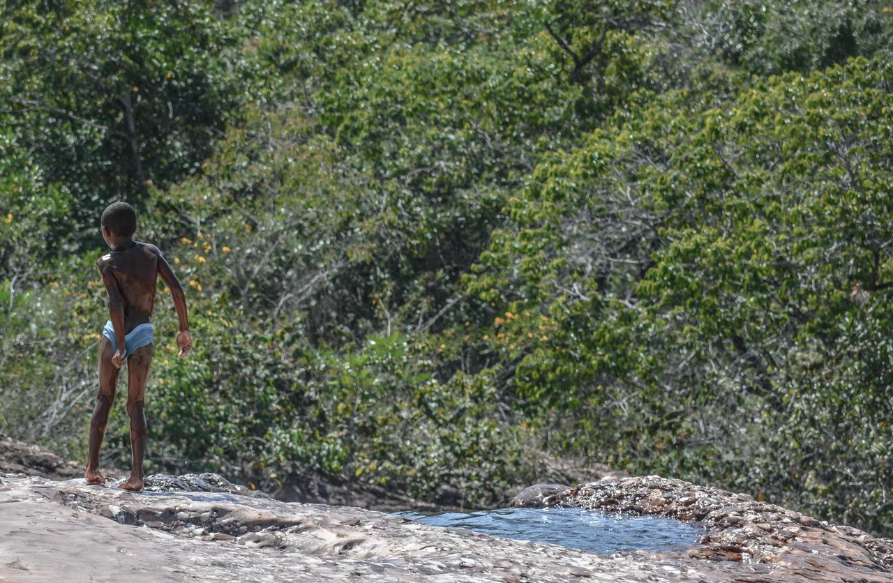
Walking the Town
Lençóis itself is small. You can walk it end to end in fifteen minutes. The Rio Lençóis runs below the main square, with swimming holes and natural water slides smoothed out of the bedrock by the stream. These are within walking distance of the center, and locals and visitors alike use them in the afternoon heat. The central praça fills with capoeira rodas, live music, and outdoor-dining tables on weekend nights. The cobblestones are hard on ankles. The light in the late afternoon turns the pastel facades a particular kind of gold.
Getting In
Buses run daily from Salvador, about six hours of driving on a road that tightens into switchbacks as it enters the Chapada. From Brasília the route goes via Seabra, with an evening departure arriving in the late morning. From the BR-242 highway, a twelve-kilometer spur road drops into town. There is no airport, which is part of why the town stays the way it is. Most visitors book tours through a local agency, which handles transport and a guide and charges upward of R$120 per day. Some rent cars for around R$100 a day, though the dirt roads outside town are potholed and require patience.
The Other Side: Vale do Capão
Across the park from Lençóis, Vale do Capão offers a different mood. It is smaller, quieter, set in a broad green valley with more agriculture and fewer buildings, and it has long attracted a community of artisans and alternative-lifestyle residents. Many of the most dramatic hikes, including the trailhead for Cachoeira da Fumaça, are closer to Capão than to Lençóis. Traveling between the two towns takes a few hours by road, or days on foot through the park. Many trekkers plan to experience both, sleeping in pousadas on one side, camping or hosteling on the other, and crossing the mountains in between. The national park is the landscape that connects them.
From the Air
Located at 12.56°S, 41.39°W in the Chapada Diamantina highlands of interior Bahia at approximately 440 m elevation. No local airport; nearest commercial service is Horácio de Mattos Airport (SNLN / LEC) which serves Lençóis with limited flights, or Salvador (SBSV / SSA) about 400 km to the east. Recommended VFR cruising altitude 6,000-9,000 ft to clear the surrounding table mountains (Morro do Pai Inácio tops at 1,120 m). Spectacular visual landmarks: the mesa of Pai Inácio, the Cachoeira da Fumaça canyon, and the Chapada's distinctive layered sandstone ridges. Best conditions in the dry season (May-September); wet season (November-March) produces strong afternoon convection over the plateau.
Nearby Stories
- Chapada Diamantina 8.7 km away
- 1798 Revolt of the Alfaiates 26 km away
- Morro do Chapéu State Park 103 km away
- Manuscript 512 115 km away
- Pé de Serra 137 km away
- São João de Deus Hospital 197 km away
- Morro de São Paulo 211 km away
- Atlantic dry forests 283 km away