.jpg)
Leticia, Amazonas
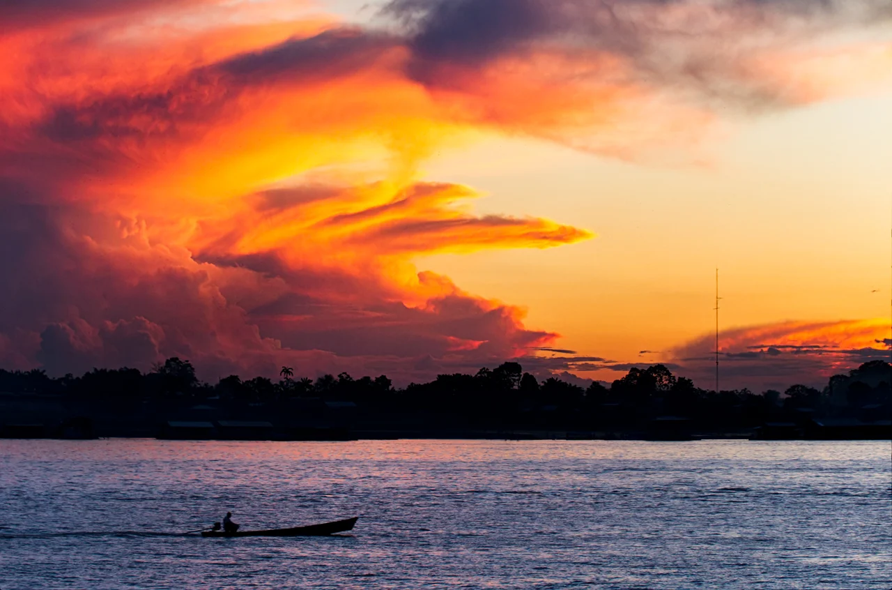
Three countries meet in the muddy water. Stand on Leticia's riverfront and look across: that dense green ribbon on the far shore is Peru. A few hundred meters downstream, the buildings blur into Tabatinga, which is Brazil. The river does not care about the lines on the map. It keeps flowing, carrying its freight of silt and fish and people between worlds that officially belong to different flags but in practice share one long afternoon. Leticia is Colombia's southernmost settlement, marooned more than a thousand kilometers from any road connection, reachable only by boat or plane. At 4.09 degrees south, it is also Colombia's only real presence in the Southern Hemisphere.
Named for a Wife
The town has two origin stories, and the romantic one is probably wrong. Legend says a Colombian soldier fell for an Amerindian woman called Leticia and named the settlement in her honor. The documentary truth is more prosaic and more Peruvian. The Peruvian captain Benigno Bustamante founded the city on April 25, 1867, calling it San Antonio after a cross bearing that inscription. Three months later, on December 15, the Peruvian engineer Manuel Charon renamed the port Leticia - for Leticia Smith, a young woman from Iquitos who happened to be his wife. The gesture was sentimental, but it stuck. Before either legend, a Portuguese explorer had died of starvation here, lost in the forest with the remnants of his crew, one of countless Europeans the Amazon swallowed without ceremony.
A War Over a River Town
In 1922 Colombia and Peru signed a controversial treaty that handed Leticia to Colombia in exchange for concessions elsewhere. Peruvians were furious when they learned. Their countrymen had founded the town. Their countrymen lived there. In September 1932, two hundred armed Peruvians crossed into Leticia and occupied its public buildings, followed later by military troops. The Colombian garrison was nonexistent. What followed was an improbable little jungle war - hand-to-hand combat in riverside villages, both nations mobilizing forces thousands of kilometers from the actual fighting. The League of Nations brokered a ceasefire in May 1933 and, in June 1934, awarded the disputed territory to Colombia. To make the gift stick, Bogota shipped in colonists from the capital. Many families who arrived between the 1940s and 1965 are still here. Their grandchildren speak Spanish with a highland accent that no one else in town has.
Frogs in the Dark
The forests just north of Leticia contain what may be the richest frog fauna on Earth. A single survey of primary rainforest and flooded forest within 10 kilometers of town identified 96 species, with two more found shortly after. Researchers believe the true count could reach 123 - species that must be there but have not yet been documented. Most of them are small and cryptic, calling at dusk from bromeliads and leaf litter and rain-filled hoofprints. This is why biologists keep coming. International students arrive to learn Spanish and stay to trail researchers through dripping forest at night, headlamps searching for eyeshine the size of a pinhead. By day the tourists board boats to Lago Tarapoto hoping to see botos, the pink river dolphins that still surface in the blackwater lakes.
Three Cities, One Street
Walk south from Leticia's central plaza and in fifteen minutes you have crossed into Brazil. There is no fence. There is not really a border checkpoint for pedestrians. The town becomes Tabatinga, and the pesos in your pocket stop working. A little further downstream, reachable by skiff, lies Santa Rosa de Yavari, the Peruvian village completing the triangle that locals call Tres Fronteras. The combined urban area holds more than 120,000 people spread along a few kilometers of riverbank. They eat each other's food, watch each other's television, marry across the invisible lines. In Leticia's markets you find sancocho alongside Brazilian and Peruvian dishes made from river fish whose names exist in Ticuna before they exist in Spanish. The Witoto, Inga, Tucano, Ticuna and Nukak have lived on these banks far longer than any of the republics claiming their homes.
Gateway to the Green
Vasquez Cobo International Airport handles most of the passengers entering the central Amazon region, funneling them past the luggage carousels and into a town that still functions as an expedition base. Small boats leave every morning for Amacayacu National Park, for Puerto Narino - the only other municipality in the department of Amazonas - and for Isla de los Micos, where humans and monkeys negotiate an uneasy tourism economy. The Our Lady of Peace Cathedral rises above the low rooftops, and tropical-fish dealers still ship ornamental species to aquariums around the world, a trade Leticia has conducted quietly for decades. What looks from the air like a modest town stranded in infinite forest is in fact the hinge between three nations, three languages, and the most biodiverse stretch of wilderness humans have ever tried to describe.
From the Air
Leticia sits at 4.22°S, 69.94°W on the Amazon River's left bank at the Colombia-Brazil-Peru triple border, 96 meters elevation. Cruise at 5,000-7,000 feet to follow the river's brown ribbon snaking between walls of green canopy. Vasquez Cobo International (SKLT) is the main airport, sharing the border region with Tabatinga International (SBTT) across the river in Brazil. The airport handles most passenger traffic for the central Amazon. Expect tropical rainforest conditions - humid, frequent convective buildups, rainfall exceeding 150 mm monthly year-round. The city has no road connection to Colombia; all approaches are by river or air.
Nearby Stories
- Puerto Nariño 11 km away
- Murder of Bruno Pereira and Dom Phillips 52 km away
- Ticuna language 102 km away
- Cujubim Sustainable Development Reserve 128 km away
- Central Amazon Ecological Corridor 173 km away
- Solimoes-Japura Moist Forests 203 km away
- Tonantins 246 km away
- Nauta 363 km away