_(22504775719).jpg)
Llanganates National Park
General Ruminahui turned his caravan into the jungle and buried the gold. That, at least, is the story the Quechua descendants still tell. In 1533, when Francisco Pizarro executed the Inca king Atahualpa despite receiving a room full of gold as ransom, a caravan of porters was still marching north through the Andes carrying more treasure for the Spaniards. Word of the king's murder reached them in these mountains. The general in command ordered the columns to disappear. They did - into the cloud forests, lakes, and crags of what is now Llanganates National Park. The gold has never been found.
A Mountain Named Beautiful
Cerro Hermoso, the beautiful mountain, rises 4,570 meters above the Ecuadorian central highlands. Its granite peaks and steep-walled valleys anchor a park that covers approximately 220,000 hectares, sprawling from the eastern flanks of the Andes down into the headwaters of the Amazon. The park lies in the province boundary between Cotopaxi, Tungurahua, Napo, and Pastaza - a meeting point of ecosystems as dramatic as its meeting point of administrations. Hikers climb Cerro Hermoso along marked trails, some gentle, others steep and technical. The summit offers a view that explains why the Inca sent their treasure here: in every direction, the land folds into itself in impenetrable ridges, paramo grasslands, and sudden mist.
The Treasure That Vanished
Atahualpa had promised Pizarro a room filled with gold and two rooms filled with silver in exchange for his freedom. The Inca king sent messengers across his empire to gather the ransom, and the gold flowed toward Cajamarca in caravans. Pizarro accepted the payment, then had Atahualpa garroted anyway in July 1533. When General Ruminahui - leader of one of the last caravans - heard the news, he refused to deliver his cargo to his king's killers. He led his men into the Llanganates. What happened next became the foundation myth of Andean treasure hunting. Ruminahui is said to have thrown the gold into a lake, or buried it in a cave, or cast it into a bog that swallowed it without trace. Spanish conquistadors tortured him to reveal the location. He told them nothing. He died with the secret, and the gold - if it ever existed in the quantities the legends describe - is still out there somewhere.
Seekers and Their Ghosts
For nearly five centuries, treasure hunters have come. Some arrived with old Spanish maps. Others followed local informants, family stories, visions, coded manuscripts. Many never came back. The Llanganates earned a reputation as a place that kills foreigners: the weather changes in minutes, the paramos flood, the fog descends so thick you cannot see your own hands. Richard Spruce, the British botanist, reported in the nineteenth century that the region was rumored to contain gold enough to ransom another Inca. In 2013, an international team working in the cloud forests about 20 miles from the town of Banos found something that re-ignited the fever: a massive square structure, approximately 260 feet on each side, built from stone blocks weighing two tons apiece, at an elevation of 8,500 feet. Whether it is Incan, pre-Incan, or something stranger remains debated. The treasure has still not been found.
Two Parks in One
The western half of Llanganates feels like the high Andes that tourists imagine - paramo grasslands scattered with llamas, vicunas, and alpacas, punctuated by granite peaks where Andean condors ride the thermals. Mountain tapirs and spectacled bears, both endangered, still move through these high meadows. The eastern half is an entirely different country. The mountains drop away into montane cloud forest, draining into the Amazon basin. Rivers and wetlands make much of it nearly impassable. The Andean magnolia blooms there in species found nowhere else. Machin monkeys and howler monkeys call in the canopy. Sword-billed hummingbirds, their beaks longer than their bodies, feed at passionflower blossoms. Most of this eastern region has never been properly surveyed. Not by scientists. Perhaps not even by the treasure hunters.
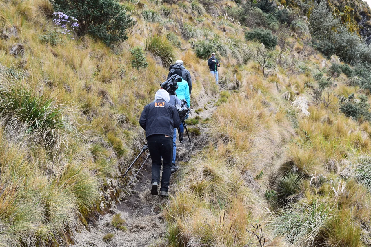
Getting Lost on Purpose
Ecuador declared the Llanganates a national park in 1996, late recognition of a landscape that had shaped local imagination for centuries. Access is not easy. Buses from Quito reach the town of Salcedo in about 90 minutes, and from there trails lead into the park from the villages of Patate, Pillaro, Banos, or Rio Verde. Guides are strongly recommended. The park has no lodges, no visitor centers on most trails, no cell coverage. Hikers carry tents and everything they need. Storms roll in without warning. What you come for, though, is exactly this unmediated encounter with mountains that still hold at least one secret. Maybe Ruminahui's caravan really did pass this way. Maybe the gold really is under a particular lake, or in a particular cave, just off the trail you are walking. Five hundred years of searchers have not settled the question. Perhaps that is the point.
From the Air
Located at 1.13 degrees S, 78.23 degrees W, centered on Cerro Hermoso at 4,570 meters. The park sits at the spine of the Ecuadorian central Andes, with ridges running northwest to southeast. Mariscal Sucre International Airport (SEQM) in Quito, about 130 km north, is the nearest major airport. Chachoan Airport (SEAM) in Ambato is much closer. At cruising altitude the park appears as a dramatic knot of peaks above a sea of cloud forest, with the Amazon basin falling away eastward. Weather is notoriously variable; visibility can drop from clear to zero in under an hour.
Nearby Stories
- Chimborazo 10 km away
- Laguna Quilotoa 17 km away
- Tungurahua 25 km away
- Andean Highlands (Ecuador) 32 km away
- Cotopaxi 33 km away
- Sumaco Napo-Galeras National Park 57 km away
- Ecuadorian Amazon 96 km away
- Napo moist forests 328 km away