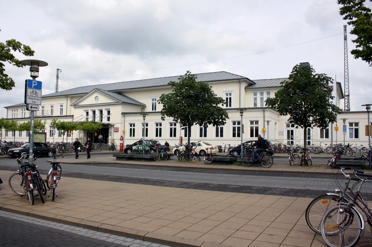

Lüneburg
Walk the lanes off Lüneburg's market square and the rooflines refuse to agree with each other. Gables lean. Window frames sit out of true. The spire of St John's climbs at an angle that is unmistakable once you have noticed it. None of this settled by accident. For a thousand years the town pumped brine out of a salt dome directly beneath its own streets, sold the salt across northern Europe, and grew rich enough to build in brick — and as the brine came out, the ground came slowly down after it.
The Boar in the Pool
The story Lüneburg tells about its own founding involves a hunter and a wild boar. He shot the animal as it wallowed in a pool of water, and when he hung the skin up to dry he found it crusted with white crystals. A bone said to have come from that boar is still kept in the town hall.
What lay under the pool was a salt dome, a plug of rock salt pushed up close to the surface. Archaeological finds show Neanderthal hunters and later Bronze Age settlers in the area, and the place may be the Leuphana that Ptolemy recorded in the second century — a name the town's university carries today. Lüneburg was established as a town in 956, though for two centuries it stayed in the shadow of Bardowick, the Slavic trading post just to the north.
White Gold and the Herring It Kept
Then Henry the Lion destroyed Bardowick in 1189. Lüneburg was granted town rights, inherited the trade, and found itself holding something close to a monopoly on salt production in northern Europe at exactly the moment northern Europe needed it most. Herring hauled from the Baltic and the North Sea had to be salted to travel, and Lüneburg salted them. The salt went by cart up the Old Salt Road to Lübeck at first, and later by cog along river and canal.
The money bought confidence. In 1371 the townspeople threw out their own prince, the Duke of Brunswick-Lüneburg, and pulled down his castle on the Kalkberg. In 1392 Lüneburg became a free imperial town and stayed one until 1637. What those centuries of wealth built is still standing: the huge brick town hall, the stepped gables ranged around the Am Sande square, and the old crane at the harbour on the Ilmenau, lifting cargo from the water into the warehouse behind it.
The Ground Comes Down
Extraction intensified after 1830, and the town began to pay for it. Ground movement above the workings cracked houses and undermined foundations; St Lambert's church and the buildings around it lost their stability and had to be pulled down. St John's kept its leaning spire. Since 1946 the subsidence has been tracked from 240 fixed measuring stations, and it has largely settled down.
The saltworks closed in 1980, ending roughly a thousand years of production. Brine is still drawn in small quantities — enough to fill the two large salt baths at the Salü and to sell packets of Lüneburg salt to visitors — and the German Salt Museum now occupies the site. Every October the town holds the Sülfmeistertage, days named for the master salters who once ran the works.
The Town That Stopped Building
Lüneburg's medieval centre survives for an unglamorous reason: the town went broke. The Hanseatic League faded, the herring shoals were fished out during the sixteenth century, and the salt trade with them. New construction simply stopped. There was no baroque remodelling because nobody could afford one, no nineteenth-century clearance because there was nothing to clear for, and in the Second World War no bombing at all.
Independence went in 1708, when Lüneburg was absorbed into the Electorate of Hanover; the town passed through a succession of states and ended up in the Prussian province of Hanover in 1866, serving as a garrison. By the mid-twentieth century many of its historic houses had decayed to the point of danger, and serious restoration only began in the 1970s. Today about 75,000 people live here, and 10,000 students give the brick gables something to be a backdrop for.
The Fourth of May
On 4 May 1945, on the Timeloberg hill just south of town, Field Marshal Bernard Montgomery took the surrender of the German forces in northwest Germany, the Netherlands, Denmark and Schleswig-Holstein. It came into effect the following day. The hill sits inside a military training area and is closed to the public; there is nothing to see there, which is its own kind of marker.
That autumn, Lüneburg hosted the Belsen trial, at which British judges heard evidence against staff of Bergen-Belsen and Auschwitz. And on 23 May 1945, in British custody in the town, Heinrich Himmler bit down on a cyanide capsule. He was buried in an unmarked spot in a nearby forest, and the location was never made public — a deliberate absence, in a town that otherwise keeps everything.
From the Air
Lüneburg sits at 53.2525°N, 10.4144°E on the Ilmenau, about 50 km southeast of Hamburg and 25 km south of the Elbe. From 2,000-4,000 ft the three big brick church towers — St John's, St Nicholas' and St Michael's — mark the old town, and the pale bare knob of the Kalkberg on its western edge is the single most reliable visual fix in an otherwise flat landscape of heath, pine and river meadow. The Elbe's broad floodplain runs east-west to the north. Hamburg's terminal airspace lies immediately northwest with heavy arrival and departure flows into EDDH (50 km); Lübeck (EDHL) is about 60 km north and Hannover (EDDV) about 110 km southwest. Lüneburg's own airfield handles light aircraft, ultralights, gliders and balloons only. Summer heath haze can cut slant visibility badly, and river fog forms along the Ilmenau and Elbe on calm autumn mornings.
Nearby Stories
- Sieben Steinhäuser 13 km away
- Hurricane Festival 22 km away
- Eschede train disaster 22 km away
- Stones Fan Museum 29 km away
- Gardelegen Massacre 54 km away
- Butjadingen 101 km away
- Großer Knechtsand 140 km away
- Lilleø 168 km away