Mount Hagen
Until 1933, the Melpa people and their neighbors kept this valley to themselves. No outsider had been here. No map recorded that anything lived in the fertile green hollow where the Wahgi River meandered past 1,677 meters of elevation. Then Mick and Dan Leahy flew over, saw the smoke rising from thousands of garden plots, organized a foot patrol, and walked into an inhabited world the cartographers had sworn was empty. Less than a century later, Mount Hagen is a four-lane highway with stoplights, nicer restaurants than most provincial capitals, and the second-busiest airport in Papua New Guinea. The city is named after an extinct volcano, the volcano is named after a former German colonial official named Curt von Hagen, and von Hagen never saw either. That is how maps work here.
From Mogei Drome to Kagamuga
The first airstrip serving Mount Hagen was built in 1934 at a place called Mogei, or Mogai Aerodrome. The first flight landed on 1 April 1934, piloted by Bob Gurney, with the first airmail leaving the next day. The strip was later absorbed into the growing town's main street. The modern airport, Kagamuga - IATA code HGU - sits 15 minutes out of town and is the second-busiest airport in Papua New Guinea after Port Moresby's Jacksons International. It handles Air Niugini and PNG Air flights to Port Moresby, Goroka, Lae, Madang, Tari, and Kiunga, as well as charters to the Porgera gold mine in Enga and to Cairns in Queensland for mine workers. Afternoon thunderstorms ground everything, so most flights leave before noon. In PNG, weather is schedule.
The Highlands Highway Arrives
The Highlands Highway runs east-west through the center of Mount Hagen, the backbone of Papua New Guinea's limited road network. To the west, Togoba Junction splits off the southwestern spur to Mendi, Nipa, and Tari. To the northwest, the highway continues to Wapenamanda, Wabag, and the Porgera mine. To the east, past Banz and Kundiawa, the road descends over the Daulo Pass - 2,478 meters - and runs down to Goroka, Kainantu, and eventually Lae on the Huon Gulf coast. The whole trip from Mount Hagen to Lae takes about nine hours when conditions cooperate. Through town, the highway is now four lanes with stoplights, street lamps, sidewalks, and a median. A decade ago it was mostly gravel and mud. Modernization has been abrupt. It has also been uneven: beyond the urban limits, the road surface alternates between well-paved stretches and sections so potholed that four-wheel drive is required.
Sing-Sing Country
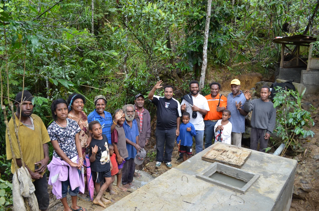
Each August, Mount Hagen hosts one of the largest cultural events in Papua New Guinea: the Mount Hagen Cultural Show. Tribes from across the country arrive in ceremonial dress - painted faces, headdresses of bird-of-paradise feathers, pig-tusk necklaces, grass skirts, kina-shell pendants - and compete in sing-sing dances whose songs have been passed down through generations. The show draws crowds from across PNG and from abroad. Filmmakers and photographers return year after year. It is the single most visible expression of Highlands culture that outsiders are likely to see. Behind the show, traditional culture continues to shape daily life around Mount Hagen. The Baiyer District to the north once held the largest bird sanctuary in Papua New Guinea before its mid-1990s closure. The Melpa language - one of the Mount Hagen languages of the Trans-New Guinea family - is still spoken by hundreds of thousands of people in the surrounding country.
Coffee, Crafts, and the Bilum
Western Highlands Province sends coffee to the world. Volcanic soil, high elevation, reliable rain - the ingredients for good Arabica are exactly the ingredients the province has. Banz Kofi Kave, a few hundred meters south of the airport, roasts local beans in a walled compound with fish ponds and a small waterfall and serves it to politicians, expats, and missionaries. In town, bilums - hand-woven string bags in brilliant colors, the national craft - hang by the hundreds along Bilum Boulevard near the airport. Sepik River carvings, traditional masks, and woven baskets appear at Hotel Poroman, Rondon Ridge Lodge, and Highlander Hotel. Prices are negotiable but tourists from Europe and North America should expect markup. Shop around.
Raskols, PMVs, and the Art of Not Stopping
Mount Hagen has a reputation. Some of it is deserved; much of it is exaggerated. Tribal fights occasionally disrupt the airport, as happened several times during the 2022 General Election. Raskols - the Tok Pisin word for bandits - sometimes set up informal road blocks on the Highlands Highway, asking K20 from foreigners for having fixed the road. K2 or K5 usually gets you through. Public Motor Vehicles, the flatbed trucks and minibuses that handle most local transport, are best avoided by visitors; chartered PMVs or hotel-arranged transport is the rule. One piece of driving advice carries the full weight of local custom: if you hit a person or a pig, do not stop. Compensation demands at the roadside can escalate quickly. The correct response is to drive to the nearest police station and let the authorities mediate. This is not callousness. It is safety. Highland compensation culture operates on rules that strangers are not equipped to navigate without help.
What the Flight Reveals
From altitude, Mount Hagen reads as a green bowl ringed by higher country. Mount Giluwe, Papua New Guinea's second-highest peak at 4,368 meters, lies to the south. Mount Wilhelm, the highest at 4,509 meters, sits to the east in Chimbu Province. The old Mount Hagen volcano - 3,765 meters, extinct, eroded down to a broad forested hump - stands 24 kilometers northwest of the city that borrowed its name. On a rare clear morning from Mount Wilhelm's summit, climbers can reportedly see the Pacific Ocean north of Madang and the Gulf of Papua to the south simultaneously. Most days, the peaks are in cloud. The Wahgi Valley floor holds the city, the coffee plantations, and - twelve kilometers northeast of the airport - the Kuk Swamp archaeological site, one of the earliest known places on Earth where humans independently invented agriculture. A UNESCO World Heritage Site since 2008, it is the only UNESCO WHS in Papua New Guinea.
From the Air
Mount Hagen is centered near 5.87 degrees S, 144.22 degrees E at 1,677 meters elevation. Kagamuga Airport (AYMH / HGU) is the main gateway, 15 minutes east of downtown. ICAO AYMH. The combination of altitude, midday heat, and runway length can restrict takeoff weights for domestic flights - departures before noon recommended. Nearest alternates: Wapenamanda (AYPM / WBM) northwest in Enga Province, Goroka (AYGA / GKA) east in Eastern Highlands. Weather: afternoon thunderstorms and lightning routinely ground traffic; planes cannot land during thunder and lightning near the airport. Recommended viewing altitude 10,000-18,000 feet. Look for the Wahgi Valley surrounded by high ranges, the extinct Mount Hagen volcano (3,765 m) 24 km northwest, and Mount Giluwe (4,368 m) to the south.
Nearby Stories
- Mount Wilhelm 23 km away
- Purari River 29 km away
- Mendi 32 km away
- Enga Province 35 km away
- Southern Highlands Province 50 km away
- Highlands Highway 58 km away
- Territory of New Guinea 72 km away
- Kainantu 114 km away