
National Route 40 (Argentina)
There is a number painted on road signs the length of Argentina, a white 40 inside a blue diamond, and to anyone who has driven even a stretch of it, that symbol means something close to freedom. Ruta Nacional 40 runs more than 5,000 kilometers, from the windswept far south near the Strait of Magellan to the Bolivian border high in the Andean Puna. It is the longest highway in the country and one of the longest in the world, a road in the same mythic company as Route 66. To drive Ruta 40 is not to get somewhere quickly. It is to take the slow road along the entire western edge of a continent.
The Length of a Country
The numbers alone are staggering. Ruta 40 stretches roughly 5,194 kilometers and crosses eleven provinces, shadowing the Andes the whole way from Santa Cruz in the deep south to Jujuy in the far north. Along its course it passes some twenty national parks, fords or bridges eighteen major rivers, and climbs twenty-seven mountain passes. It began life with a far humbler purpose, a thread linking the few scattered settlements in the strategically sensitive borderlands with Chile. Only later did it become the icon it is today, a route the Argentine tourism authorities now market as a destination in its own right, even though almost no one drives the whole thing in a single journey.
A Road That Fights Back
This is not a polished tourist highway, and that is the point. Long sections remain unpaved, and even paved stretches can dissolve into gravel detours where construction crews are at work. Plan at least two weeks to enjoy the route properly; in a real hurry it might be done in eight to ten days, assuming nothing goes wrong, which on a road this long it often does. The climate swings wildly across so many latitudes and altitudes. Snow and ice can block the high passes in winter; heavy rain can wash out the south in summer. The advice from those who know the road is simple and constant: fill the tank whenever you can, because there is no guarantee the next station will have fuel.
The Roof of the Route
The highest and hardest point comes in the north, at the Abra del Acay in Salta Province, where the road serpentines up to 4,972 meters above sea level, one of the highest stretches of drivable road on the planet. Here an ordinary car will not do; the route demands an off-road vehicle, and even then the pass can close under summer rain or winter snow. So formidable is the Acay that travelers can take alternate routes around it, looping instead through the colonial city of Salta. The thin air, the switchbacks, the sheer altitude make this the section that separates those who merely drove part of Ruta 40 from those who took on its full, brutal spine.
Every Landscape in One Line
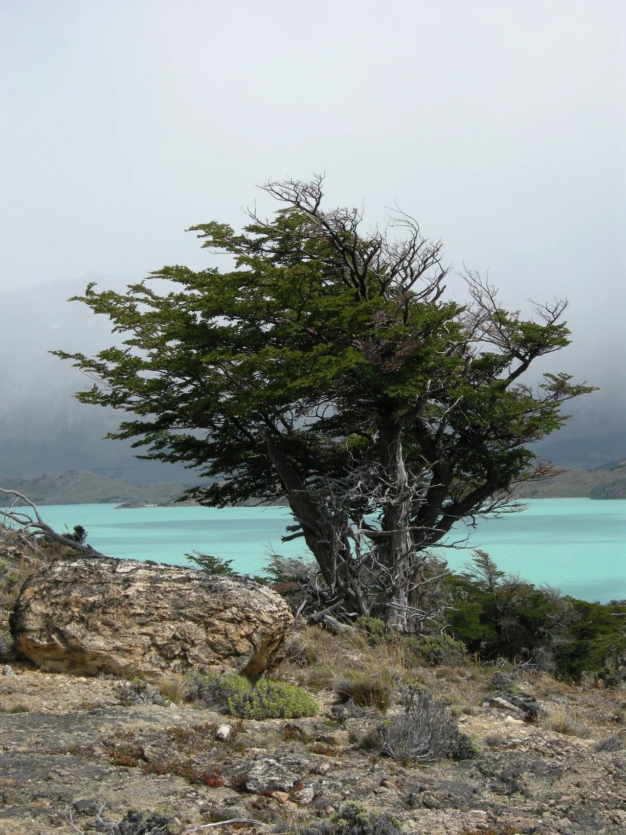
What makes the road legendary is the sheer range of worlds it passes through. In the far south it crosses the lonely Patagonian meseta, a harsh steppe where the only company for hours is wind and the occasional guanaco. Near El Calafate it skirts the great glacial lakes of Los Glaciares; a detour reaches the Cueva de las Manos, where prehistoric hands were stenciled onto rock thousands of years ago. Pushing north it threads the lake-and-forest country around Bariloche, brushes the vineyards of Mendoza and San Juan, and climbs at last into the red-rock canyons and high-altitude valleys of the Calchaquí, past wine towns like Cafayate. By the time it reaches La Quiaca on the Bolivian frontier, the road has shown a single traveler nearly every landscape Argentina possesses.
From the Air
The waypoint here sits at 32.89 degrees south, 68.83 degrees west, on the section of Ruta 40 near Mendoza, where the road runs as a four-lane expressway skirting the western metropolitan area. From the air, this stretch is a clear paved corridor threading between the green irrigated oases of the Cuyo and the rising wall of the Pre-Cordillera to the west. Note that Ruta 40 circumvents central Mendoza rather than running through it. The nearest field is Governor Francisco Gabrielli International (El Plumerillo, ICAO SAME), about 8 km northeast of Mendoza; the San Juan leg to the north is served by Domingo Faustino Sarmiento Airport (ICAO SANU). Best viewing of the road and the dramatic Andean backdrop is from 3,000 to 6,000 feet AGL in the clear, dry air; afternoon dust from Zonda winds can cut visibility.
Nearby Stories
- Uspallata 15 km away
- 1947 BSAA Avro Lancastrian Star Dust accident 50 km away
- Uco Valley 58 km away
- Puente del Inca 63 km away
- Tragedy of Alpatacal 95 km away
- Sierra de las Quijadas National Park 108 km away
- El Leoncito National Park 116 km away
- San Luis 178 km away