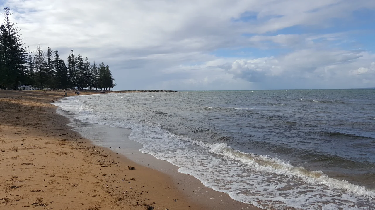

Redcliffe Peninsula
Three small boys stood on the back of a truck as it circled the dirt track at Redcliffe Speedway, singing into the noise of the engines while spectators flung coins onto the ground. Whatever the brothers could grab from the dust between races was theirs to keep. The eldest was Barry Gibb; the twins were Robin and Maurice. Within a decade they would be the Bee Gees, selling records by the hundred million. But it started here, on this flat thumb of land jutting into Moreton Bay, where the sea breeze never quite stops and the red cliffs that gave the place its English name still catch the light at the water's edge.
The First Settlement That Wasn't
On 17 July 1799, the explorer Matthew Flinders landed here from the sloop Norfolk at half past ten in the morning and named the spot Red Cliff Point for the rust-coloured cliffs facing the bay. A quarter-century later, in 1824, the colonial authorities chose this shore for a new penal settlement, the first European foothold in what would become Queensland. It did not last. By May 1825 the outpost was abandoned and moved south to the banks of the Brisbane River, the site of the city today. The site proved poorly chosen: the water supply was inadequate, the ground swarmed with mosquitoes, there was no safe anchorage, and the Ningy Ningy people resisted the seizure of their land. The convicts and soldiers left behind a scatter of empty huts, and a name that would outlive them all.
Humpybong: The Dead Houses
This is Ningy Ningy and Turrbal country, and it was Aboriginal people who named what the Europeans left behind. Looking at the deserted settlement, they called the empty buildings 'oompie bong', from words meaning shelter and gone, vanished, dead. Anglicised over time to Humpybong, the name came to mean, in effect, 'the dead houses', and it stuck to the whole peninsula. There is a quiet irony in it: the newcomers arrived to settle and failed, and it was the original inhabitants who supplied the lasting word for their absence. Locals still use the name Humpybong today, in school names and street signs, a small linguistic monument to a colony that could not hold.
How Three Brothers Found Their Sound
The Gibb family arrived from England in August 1958 and settled at Redcliffe. The boys sang to make pocket money, and a speedway promoter named Bill Goode put them to work entertaining the crowd between races, often from a moving truck circling the track. The group's name has a tidy local origin: it came from the shared initials of Barry Gibb, Bill Goode, and a Brisbane radio announcer named Bill Gates, the 'B.G.s' becoming the Bee Gees. The town has not forgotten. In 2013 the council opened Bee Gees Way, a walkway in the Redcliffe centre lined with photographs and music, anchored by a statue of the brothers as the young teenagers they were when this windy peninsula first heard them harmonise.
A Town Built on Bridges and Saltwater
For most of its life Redcliffe was an island in all but name, reachable from Brisbane only the long way around until 1935, when the Hornibrook Bridge first strode across Bramble Bay. Better bridges followed, and in 2010 the Ted Smout Memorial Bridge opened at 2.7 kilometres, among the longest in Australia, named for Queensland's longest-surviving First World War veteran. The peninsula wears its 22 kilometres of coastline lightly: jetties, sheltered swimming beaches, the rusting wreck of the gunboat Gayundah on the rocks at Woody Point. On most weekends skydivers drift down onto Suttons Beach from a Cessna circling overhead, and each May the sky fills with colour for Kitefest. For its modest size, Redcliffe has produced a startling roll of Olympic swimmers and rugby league stars, but it is still those three boys on the speedway truck the world remembers first.
From the Air
The Redcliffe Peninsula sits at 27.23 degrees South, 153.09 degrees East, a roughly 22 km coastline of seaside suburbs jutting north into Moreton Bay, northeast of Brisbane. Redcliffe Airport (YRED), elevation about 7 ft, is a small council-run aerodrome on the peninsula itself, with an 853 m runway (07/25) used by the local aero club; the Cessna 208 that drops skydivers onto Suttons Beach flies from here. Brisbane Airport (YBBN) lies about 20 km south across the bay. From the air the peninsula is unmistakable: a flat green-and-grey urban tongue ringed by water, tied to the mainland by the long parallel lines of the Houghton Highway and Ted Smout bridges across Bramble Bay. Look for the jetty at Redcliffe and the marinas at the northern tip near Scarborough. The humid subtropical climate brings reliable visibility outside the late-afternoon summer thunderstorms.
Nearby Stories
- Eagle Farm Airport 2.1 km away
- Bribie Island Second World War Fortifications 4 km away
- Cressbrook Homestead 21 km away
- 2010-2011 Queensland Floods 41 km away
- Bunya Mountains National Park 104 km away
- Cape Byron 135 km away
- Cape Byron Light 165 km away
- HMS Porpoise (1799) 551 km away