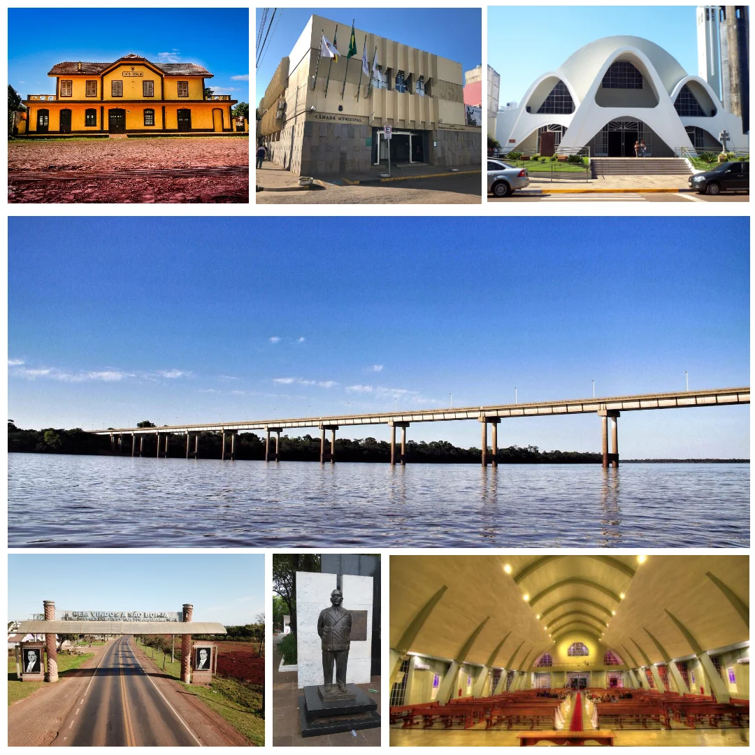

São Borja
No other town in Rio Grande do Sul is older, and few small towns anywhere have shaped a nation so far above their weight. Sao Borja was born in 1682 as a Jesuit mission on the banks of the Uruguay River, and three centuries later it gave Brazil two of its presidents. The frontier here is real and present: stand on the riverbank and Argentina is the far shore, close enough to watch. This is borderland in every sense, a place where empires once drew their lines and where the gaucho south still meets the wider world.
First of the Seven
Sao Borja was the first of the Sete Povos das Missoes, the Seven Peoples of the Missions, a network of Jesuit settlements built among the Guarani in the late seventeenth century. Founded in 1682, it was named Sao Francisco de Borja in honor of Saint Francis Borgia, a Spanish nobleman who became a leader of the Jesuit order. These missions were self-governing Christian-indigenous communities, prosperous and orderly, until the political quarrels of Portugal and Spain tore them apart in the following century. Sao Borja outlived the collapse of the mission world and grew into a town, carrying the deepest roots of any municipality in the state.
The Land of the Presidents
Sao Borja is known across Brazil as the Terra dos Presidentes, the Land of the Presidents, and it has earned the title. Two heads of state were born here. Getulio Vargas, born in 1882, dominated Brazilian politics for a generation, ruling through the 1930s and 1940s and again in the early 1950s before his presidency ended in his suicide in 1954. Joao Goulart, born in 1919 and known as Jango, rose under Vargas's mentorship to the presidency himself, only to be overthrown by a military coup in 1964. That a frontier town of the deep interior should produce two presidents is a quirk of history the city celebrates with statues and memorials.
A River for a Border
Geography made Sao Borja a gateway. The Uruguay River, which the Portuguese spell Uruguai, defines the international boundary here, and on the Argentine side sits the city of Santo Tome. The two are joined by the Integration Bridge, a span whose very name speaks to the easy traffic of people and trade across this frontier. Sao Borja has its own airport, and the town has long served as a crossing point where Brazil and Argentina meet. The river that once marked the contested edge of two colonial empires now stitches two nations together, and the bridge carries the everyday business of a living border.
Where History Runs Deep
To visit Sao Borja is to feel the layers of South American history compressed into a single town. The Guarani and the Jesuits who built the first mission, the soldiers and surveyors of the imperial frontier, the two presidents whose careers reshaped a republic, all of it began here on the banks of the Uruguay. The town is quieter now than its outsized history might suggest, a place of cattle country and river light. But its claim to being both the oldest municipality in the state and the cradle of national leaders gives Sao Borja a gravity that lingers in its plazas and along its riverfront.
From the Air
Sao Borja lies at roughly 28.66 degrees south, 56.00 degrees west, on the far western edge of Rio Grande do Sul where the Uruguay River forms the border with Argentina. The Argentine city of Santo Tome sits directly across the river, linked to Sao Borja by the Integration Bridge, an unmistakable landmark from the air. The local airport is Sao Borja (ICAO: SSSB), a small field beside the town. Santa Maria (ICAO: SBSM) is about 230 km to the east-southeast, and Porto Alegre (ICAO: SBPA) roughly 480 km to the southeast. From 2,500 to 4,000 feet above ground the river's wide curves and the paired border cities dominate the view, with flat pampas grassland and ranchland stretching in every direction. Calm, clear days afford long sightlines across the frontier deep into Argentina's Corrientes Province.
Nearby Stories
- Battle of Yatay 17 km away
- Ibera National Park 78 km away
- São Lourenço Mártir Archaeological Site 82 km away
- Yapeyú, Corrientes 84 km away
- Ruins of São Miguel das Missões 99 km away
- Siege of Uruguaiana 129 km away
- San Cosme y Damián 131 km away
- Paleontological and Archaeological Museum Walter Ilha 141 km away