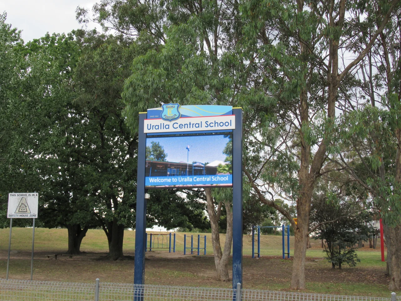

Uralla
Thunderbolt's Way carries his name. So does a pub, a motel, a scatter of roads, and a granite outcrop from which he is said to have ambushed travellers on the highway below. More than 150 years after Frederick Ward was shot dead just outside town, Uralla has decided not to forget its bushranger, and it has built an entire civic personality around him. Yet this small town on the Northern Tablelands of New South Wales is more than one outlaw's afterlife. It sits above 1,000 metres, where summers are mild and winters bite, on land the Anaiwan people have known for far longer than any road.
Anaiwan Ground
The name came before the town did. "Uralla" was taken from the language of the Anaiwan, also written Anēwan, the Aboriginal people whose country spreads across the New England tableland from Guyra and the north down through Armidale to Uralla and Walcha. The word is understood to mean a ceremonial meeting place or camp. For generations, a local story held that it meant "chain of waterholes" — an apt description of the creek that runs through town, though one that linguists have never confirmed. The Anaiwan language, also called Nganyaywana, very nearly fell silent after the violence and dispossession of the colonial frontier. In 2016, members of the Armidale and New England Aboriginal community launched the Anaiwan Language Revival Program to bring it back, running classes and gathering words. Today around 11 percent of Uralla's people identify as Aboriginal or Torres Strait Islander.
Gold in the Rocky River
A creek full of gold made the town. Squatters had pushed onto the rich grazing runs of the New England tableland through the 1830s and 40s, among them the Irishman Samuel McCrossin, who first camped on the creek with his wife and seven children in 1839 and settled for good by 1841. But it was the 1852 gold rush in the nearby Rocky River that turned a grazing district into a town, swelling the population past 5,000 and earning Uralla town status by 1855. A second rush followed in 1856. By 1859 the town had three hotels, stores, a post office, a school and a flour mill. The gold thinned out, but its legacy lingers: you can still pan the Rocky River today, and the goldfields drew thousands of Chinese miners whose artefacts now form a nationally significant collection at the local museum.
The Gentleman Bushranger
Fred Ward was the longest-roaming bushranger in Australian history, and his end came at Uralla. On 25 May 1870, after robbing travellers near the big rock on the highway, Ward was shot and killed at Kentucky Creek by Constable Alexander Binney Walker, who first brought down the outlaw's horse in swampy ground. Ward had spent his last hours in and around Blanch's Royal Oak Inn nearby. He had earned a reputation as the "gentleman bushranger," and his partnership with Mary Ann Bugg, a Worimi woman who rode and survived in the bush alongside him, became part of the legend. He is buried in the old Uralla cemetery on John Street. A statue of him in the main street was controversial when it went up, but the town's affection for the legend has long since won out, and his full story is told at McCrossin's Mill Museum.
Wool, Vines and a Satellite Dish
Today the cold that defeated the wheat farmers is the town's quiet advantage. The high, frosty tableland raises Merino sheep prized for super-fine and ultra-fine wool destined for the world's fashion houses, and the same chill suits cool-climate vineyards and apple orchards. Three foundries and other metalworking firms anchor local employment, an unexpectedly industrial heart for a town of around 2,700. Because Armidale's shopping chains are only a short drive away, Uralla's main street has kept its independent character: an antiquarian bookshop, galleries, antique stores and cafes, fed by a thriving community of artists and potters drawn by the nearby University of New England. Incongruously, Lockheed Martin built a satellite tracking station here, a piece of the space age set down on old gold-rush ground.
From the Air
Uralla sits at 30.633°S, 151.483°E on the Northern Tablelands of New South Wales, more than 1,000 metres above sea level, at the junction of the New England Highway and Thunderbolts Way, about 465 km north of Sydney. From the air it appears as a small grid town amid pale, treeless grazing country, with the thread of the Rocky River nearby. The nearest airport is Armidale (ICAO YARM), roughly 23 km northeast and the highest licensed airport in the state at 1,084 metres; Tamworth (YSTW) lies to the southwest. Recommended viewing altitude is low over the township and surrounding paddocks. The oceanic-but-cold tableland climate brings crisp, clear winter visibility punctuated by heavy frosts, occasional snow, and stormy summer afternoons.
Nearby Stories
- Wollomombi Falls 22 km away
- Walcha, New South Wales 23 km away
- Guyra, New South Wales 39 km away
- Ebor Falls 45 km away
- Bingara 65 km away
- Roxy Theatre and Peters Greek Cafe Complex 93 km away
- Jervis Bay 458 km away
- SS Elingamite: Gold, Fog, and a Captain Wrongly Blamed 1920 km away